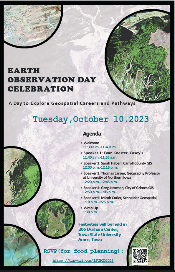
In celebration of Earth Science Week (Oct. 8–14), IowaView and the ISU GIS Support and Research Facility will host an Earth Observation Geospatial Career Day from 11:30 a.m.–1:30 p.m. Tuesday, Oct. 10, in 206 Durham Center at Iowa State University. GIS professionals will share short presentations discussing their jobs and career paths. Students can learn more about the geographic information science (GISC) minor and GIS graduate certificate program. Lunch and refreshments will be provided. Please join us!
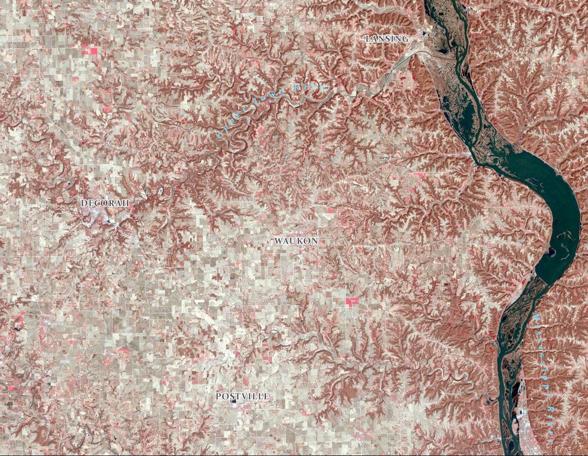
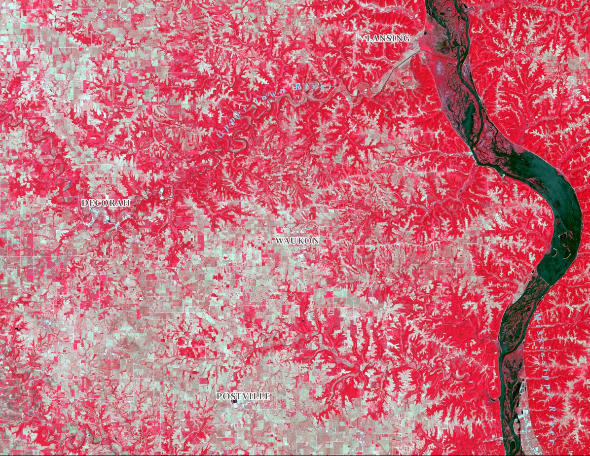
Happy Fall! Observe the changes across the landscape in seasonal images in Northeast Iowa. Snow, forest, farmland. Can you notice the areas of coniferous trees versus deciduous trees and where there is seasonal farmland compared to pasture areas? Also notice the changes along the Mississippi and Upper Iowa Rivers. Enjoy the changing seasons!
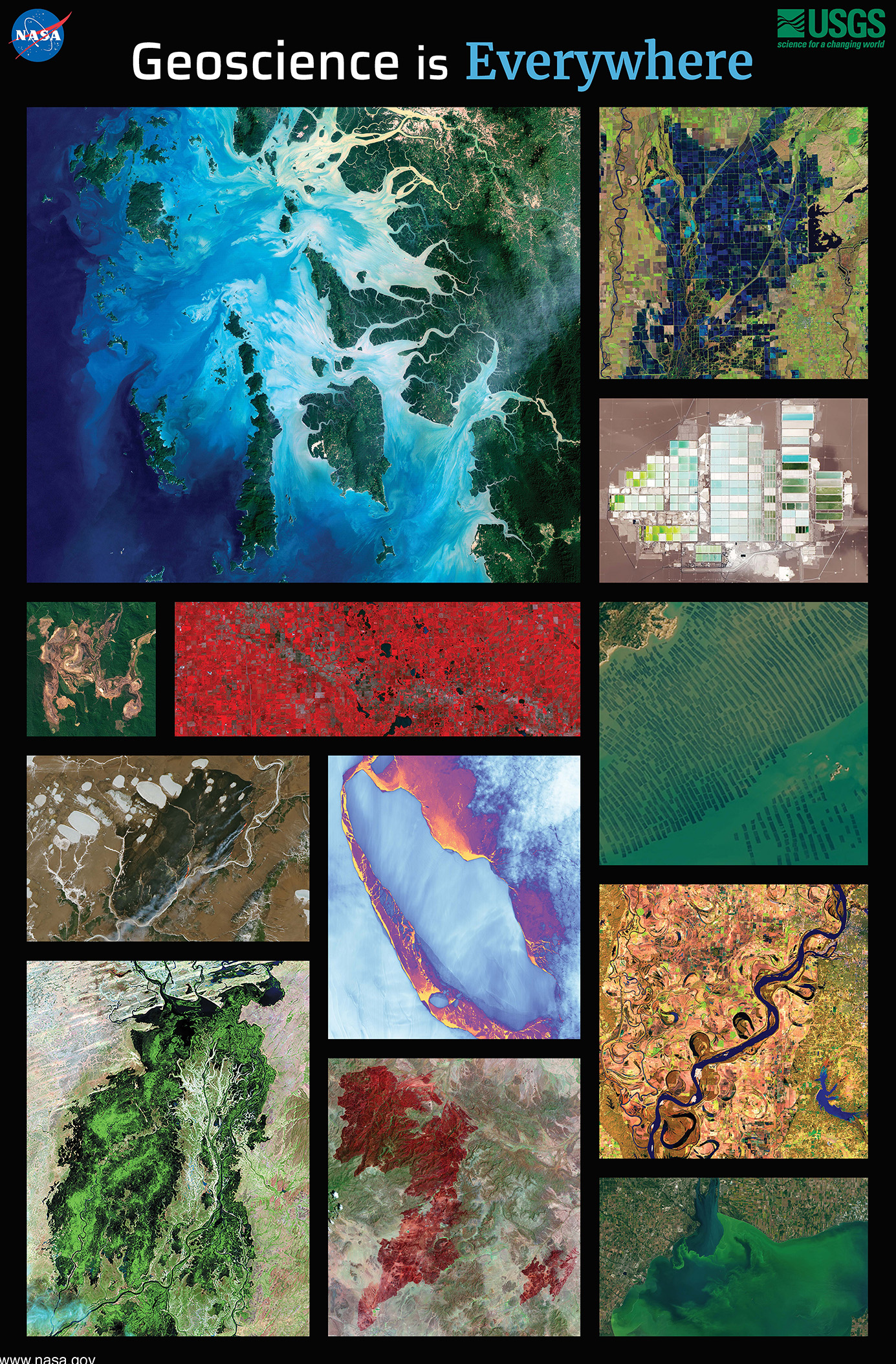
This year we are celebrating 50 years of the Landsat earth observing satellite mission. Landsat data helps us observe changes in our communities and environment over time.
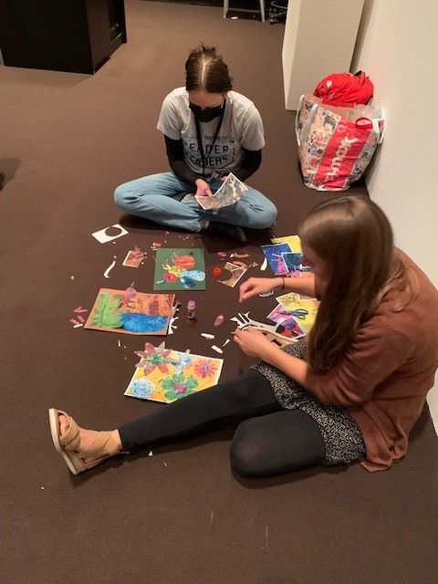
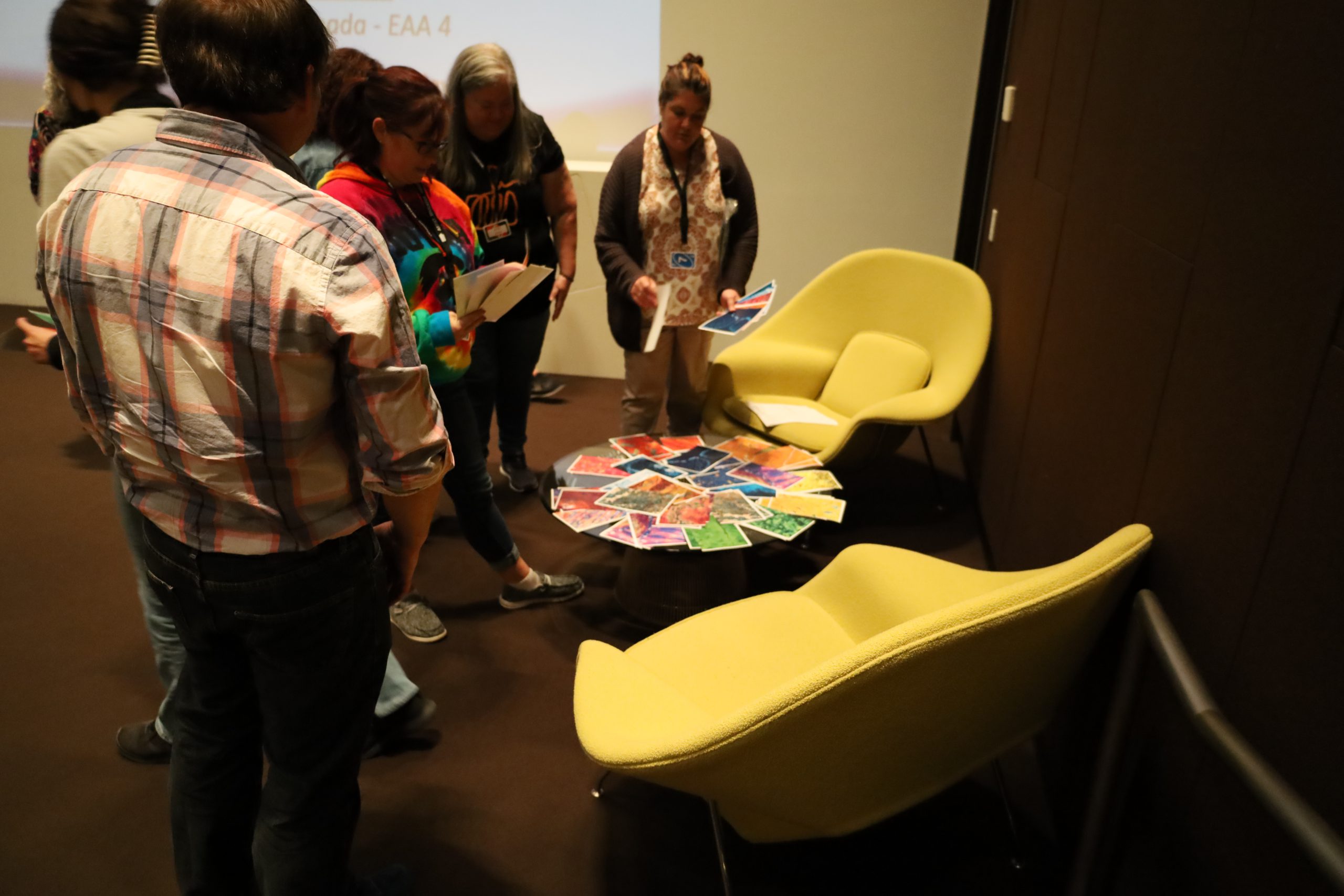
Teacher making a Landsat CollageTeachers making Landsat CollagesA finished Landsat CollageTeacher with finished Landsat CollageChoosing MaterialsParticipants with Landsat CollagesIowaView Staff Presentation
Today we are celebrating remote sensing, the study of the earth using secondary observations from instruments such as planes, kites, drones, satellites as an exciting and powerful educational tool to help us show changes over time.
This year the AmericaView/NASA team has put together a fun and beautiful educational poster!
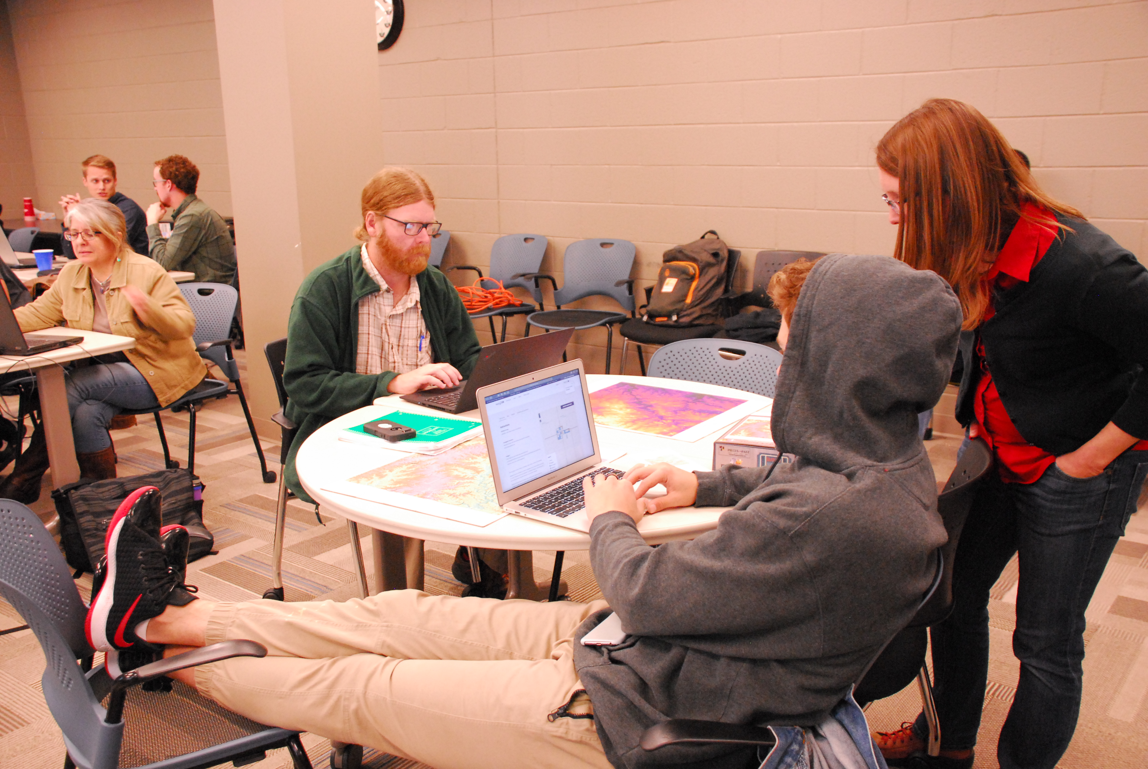
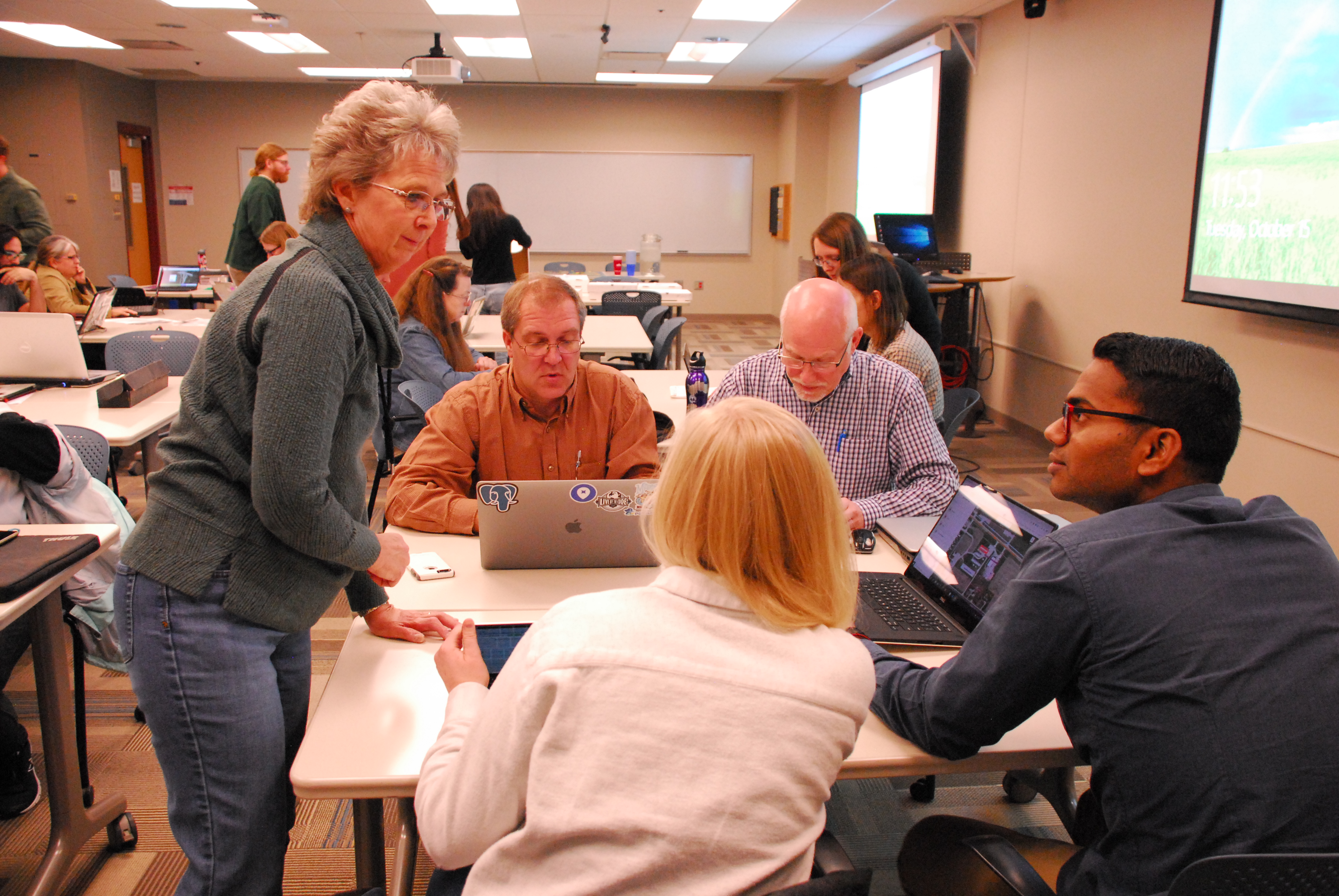
The second part of Earth Observation Day was dedicated to using OpenStreetMap to remotely map Wayland, Iowa and Mindanao region of the Philippines.
Amy Logan, an IowaView staff member, gave a brief introduction to remote sensing and OpenStreetMap. Then mappers began working on a TeachOSM task – Improving the Iowa OSM Basemap: Wayland, Iowa (https://tasks.teachosm.org/project/981). Beverly Conrad, the city clerk of Wayland came for the mapathon and was able to provide local knowledge about the areas participants were mapping. New mappers were encouraged to do the OSM iD Editor Walk-through before they began mapping. It provides users with a nice hands-on introduction of the OpenStreetMap interface and how to create data.
Beverly Conrad discussing a feature with mapathon participants.
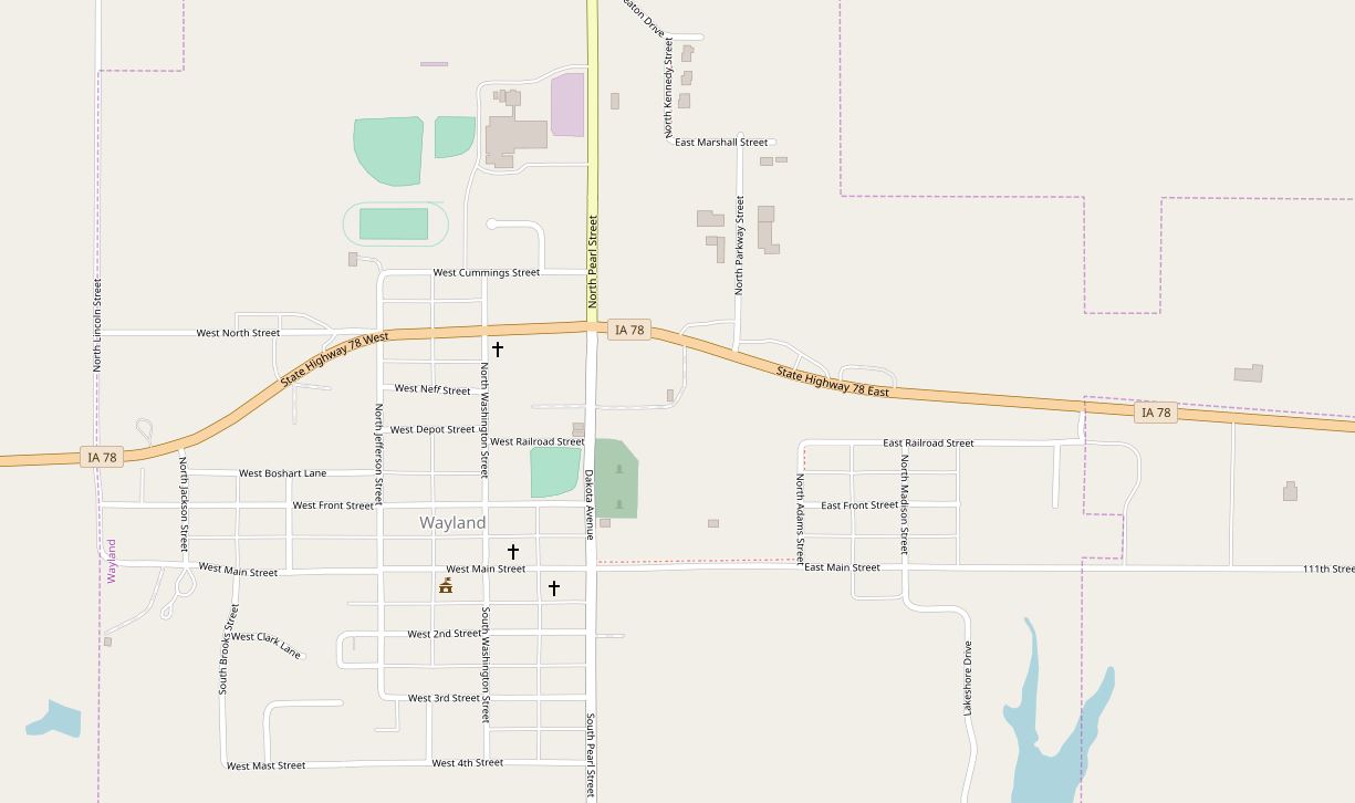
Wayland is a small town (population: 966) in southeast Iowa that has wanted to move towards a GIS asset management system, yet much of their city needed to be mapped. As a result of the volunteer efforts of our 22 mappers during the Earth Observation Day mapathon event, partcipants mapped over 70% of the city, including over 470 buildings as well as sidewalks, alleys, parks, and other points of interest. Below is a before and after screenshot of the OpenStreetMap basemap for the City of Wayland, Iowa.
Thank you, Mappers!
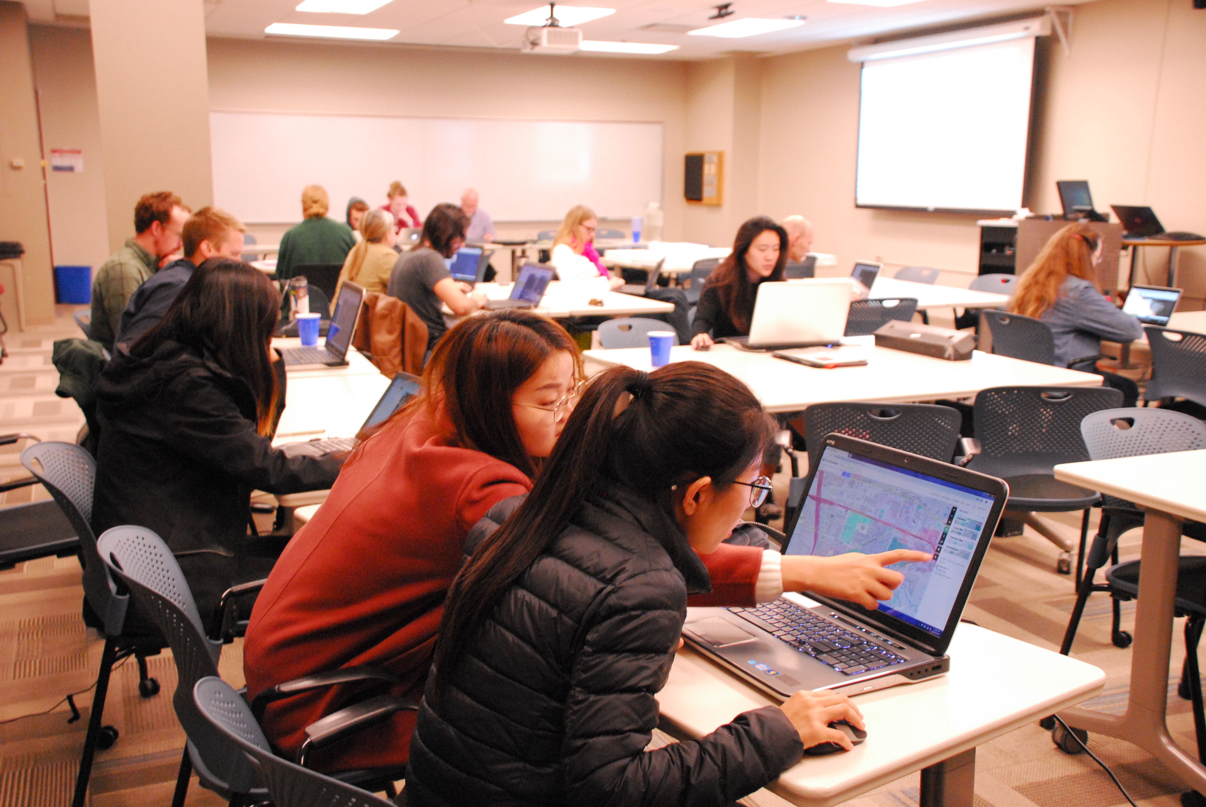
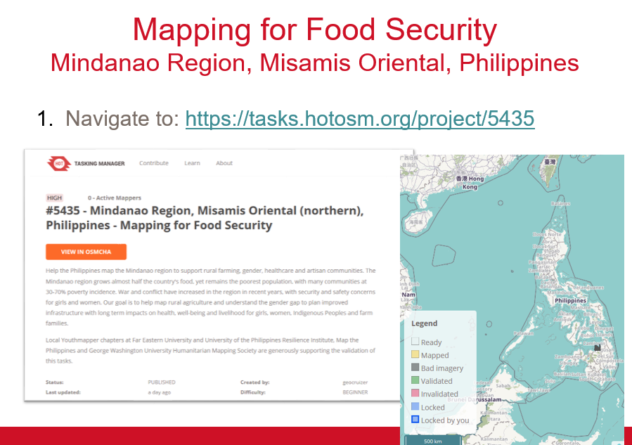
The second project was a Humanitarian OpenStreetMap Task improving the basemap in the Philippines to promote food security. This project added details to the basemap such as minor roads and path, buildings, and farmland.
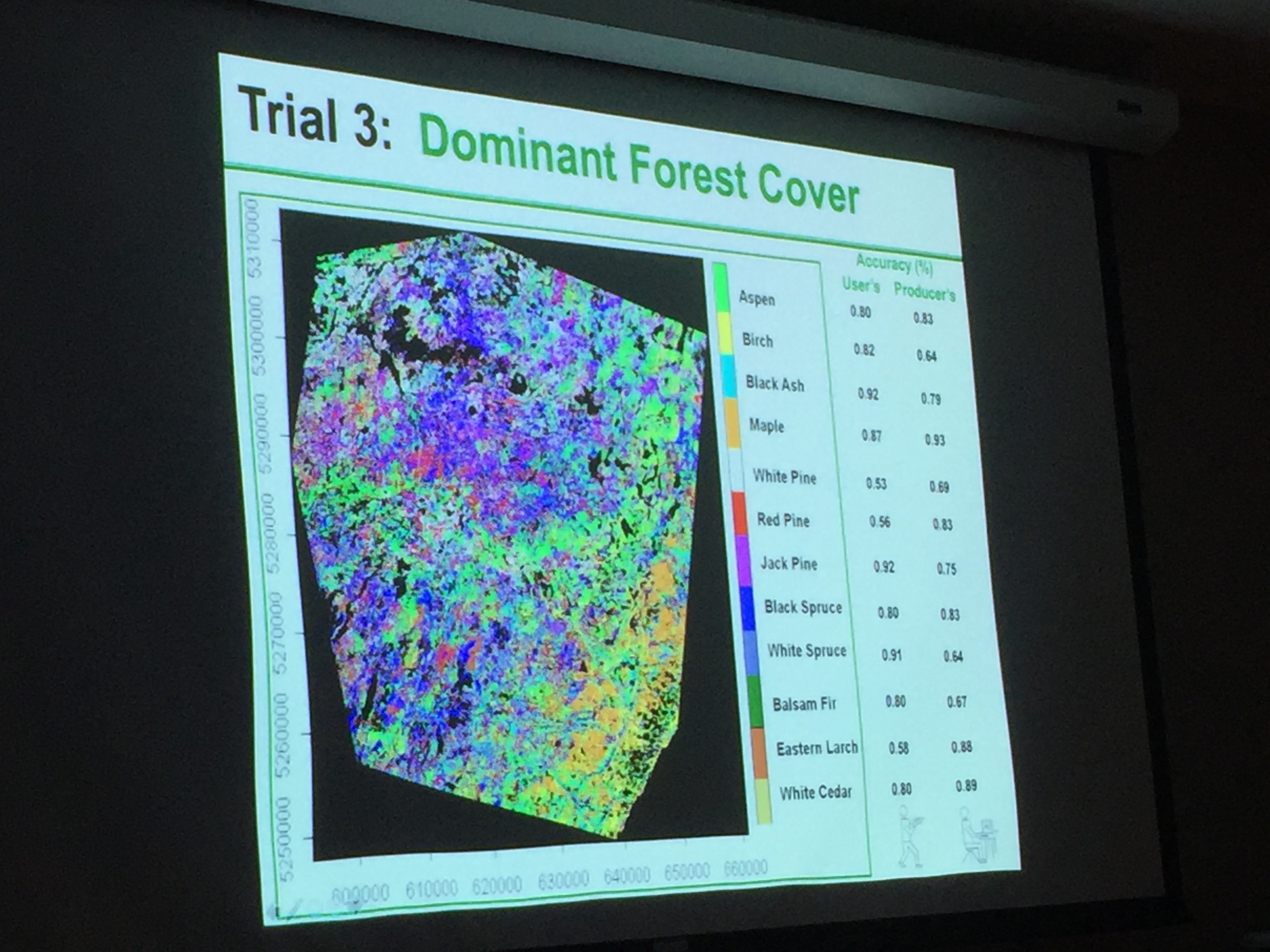
First, Professor Peter Wolter shared with us several projects he has worked on in northern forests of Minnesota, Wisconsin, and Michigan. He explained how he has used multiple satellites/sensors to identify specific traits in trees (wavelength, height, temporal change, etc.) which allowed him to classify different regions of the forest by species. Below are some pictures from his presentation. Thank you, Peter!
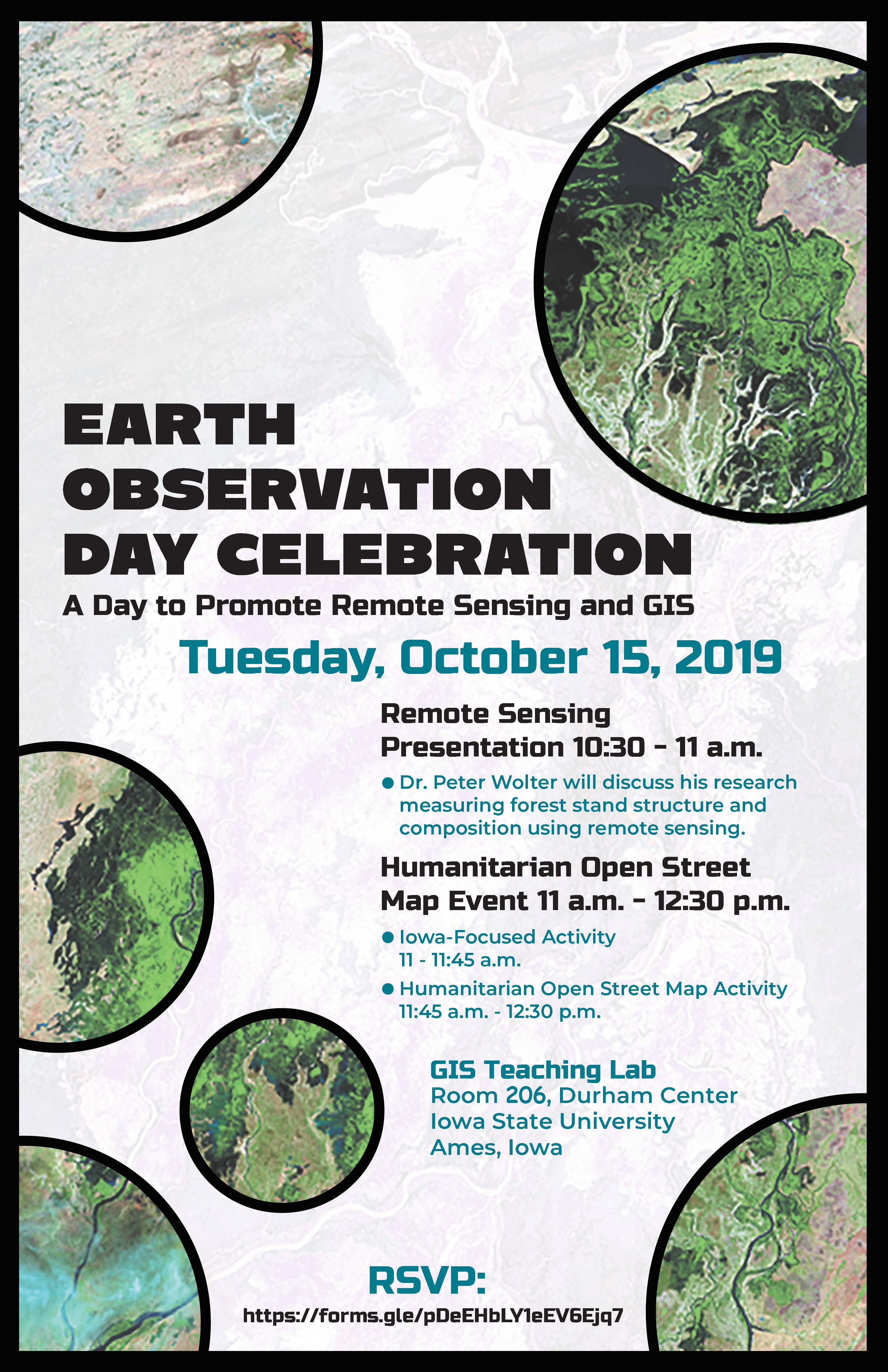
When: Tuesday, October 15, 2019 Where: GIS Teaching Lab, Room 248, Durham Center, Iowa State University, Ames, Iowa
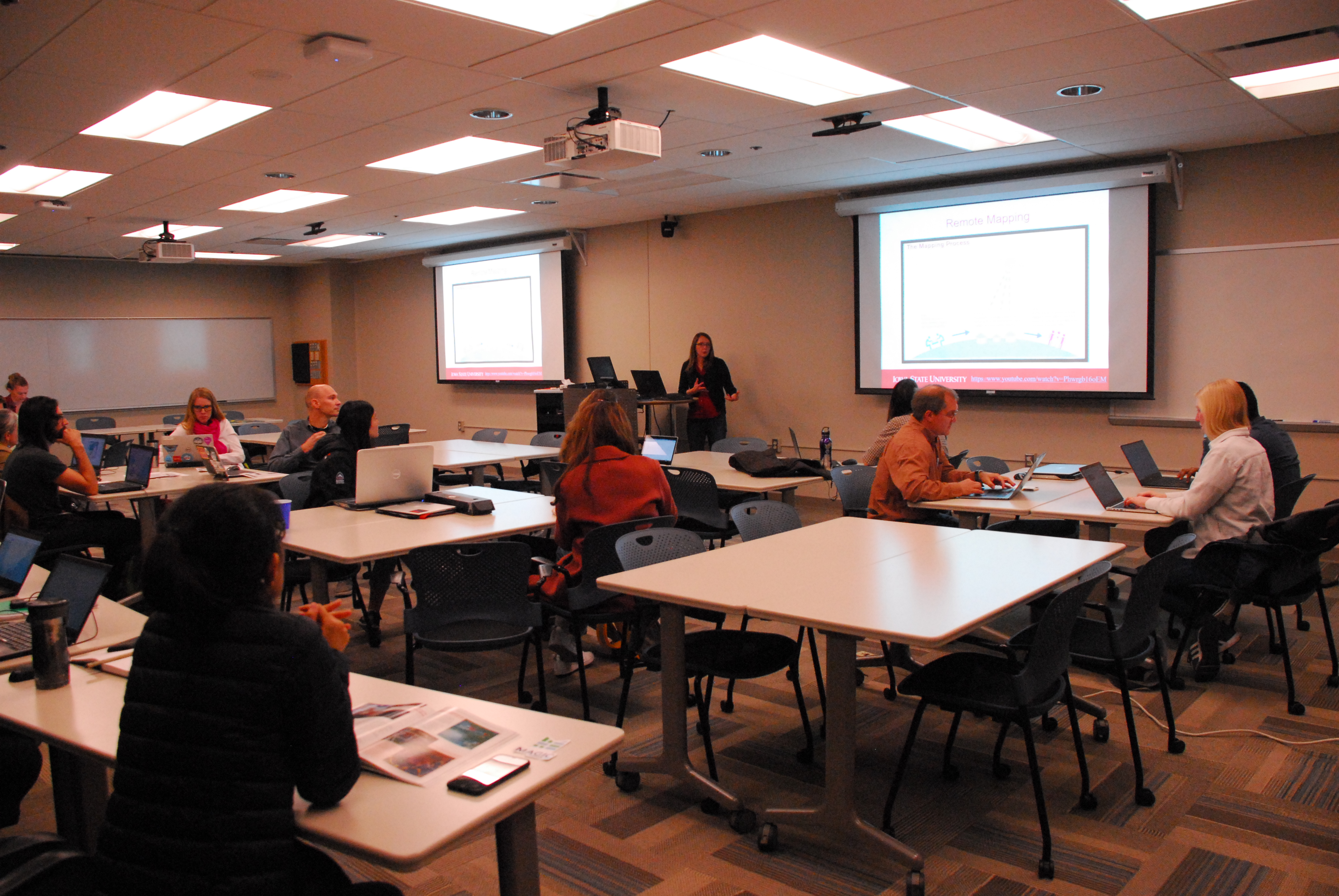
This year the ISU GIS Facility in collaboration with IowaView will be celebrating Earth Observation Day. This year the theme is “Geoscience is Everywhere.” We have a great day planned.
To start out our day at 10:30am, Professor Peter Wolter will share how he is using remote sensing to measure forest structure and composition. Then we will have a Humanitarian Open Street Map Event 11am-12:30pm. No experience is needed. First, we will have an Iowa-Focused activity 11:00am-11:45am and then we will focus our efforts on an international Humanitarian OpenStreetMap activity from 11:45am-12:30pm. We will also have pizza and you are encouraged to try our new puzzles.