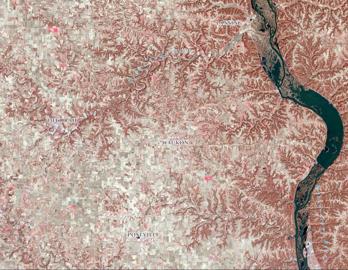
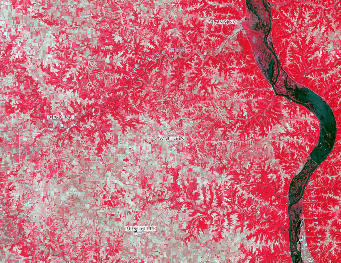
Happy Fall! Observe the changes across the landscape in seasonal images in Northeast Iowa. Snow, forest, farmland. Can you notice the areas of coniferous trees versus deciduous trees and where there is seasonal farmland compared to pasture areas? Also notice the changes along the Mississippi and Upper Iowa Rivers. Enjoy the changing seasons!
This year we are celebrating 50 years of the Landsat earth observing satellite mission. Landsat data helps us observe changes in our communities and environment over time.
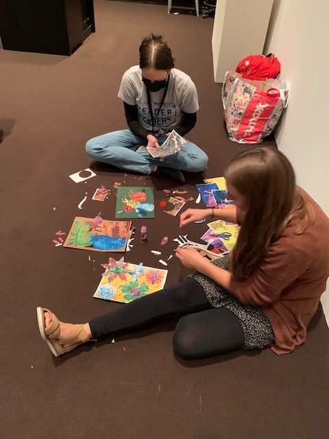
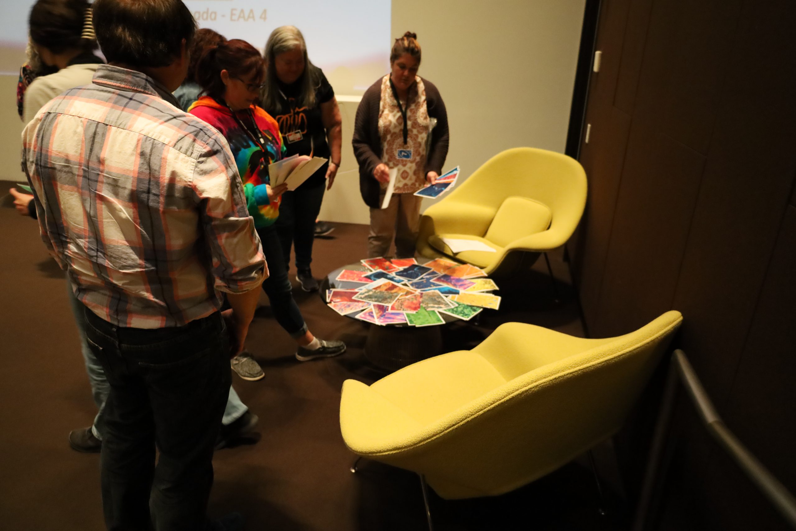
Teacher making a Landsat CollageTeachers making Landsat CollagesA finished Landsat CollageTeacher with finished Landsat CollageChoosing MaterialsParticipants with Landsat CollagesIowaView Staff Presentation
Well, it’s Water Wednesday. Today’s Landsat highlight is a time lapse video (2007-2017) showing the effect of a 2010 dam breach on the water level of Lake Delhi located in Delaware County in eastern Iowa. Notice the dramatic decrease in water and the exposure of large sandbars and the refilling of the lake as the dam is restored.
This year we are celebrating 50 years of the Landsat earth observing satellite mission. Landsat data helps us observe changes in our communities and environment over time.
Today’s image shows an area in northwest Iowa between Spencer (Clay County) and Emmetsburg (Palo Alto County). The two images on the left are showing water levels in 1990 (typical year) and 2022 (recovering from a drought) compared to 1993 (heavy flooding) and 2008 (flooding). Notice the swollen streambanks and flooding along water bodies in the right images.
This year we are celebrating 50 years of the Landsat earth observing satellite mission. Landsat data helps us observe changes in our communities and environment over time.
To celebrate the Landsat Golden Jubilee, consider taking a virtual visit to Camp Landsat!This summer Camp Landsat is celebrating this exciting anniversary with 5 weeks of programming, celebrating the 5 decades of Landsat’s continuous mission. This week the theme is People and Places.
Enjoy and explore many activities from Camp Landsat including:
Saturday, July 23, 2022 marked the 50th anniversary of the launch of the USGS/NASA Landsat earth observing satellite mission. With the launch in 1972, Landsat has continued its earth observation mission and become the longest continuous earth observing satellite.
Enjoy this video recalling the launch and explaining the beginning of the earth observing satellite mission, Landsat 9 – Part 1: Getting off The Ground: https://www.youtube.com/watch?v=FlRf17Egexo.
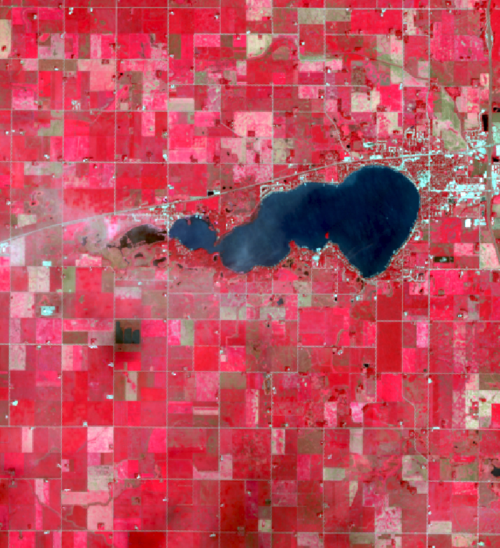
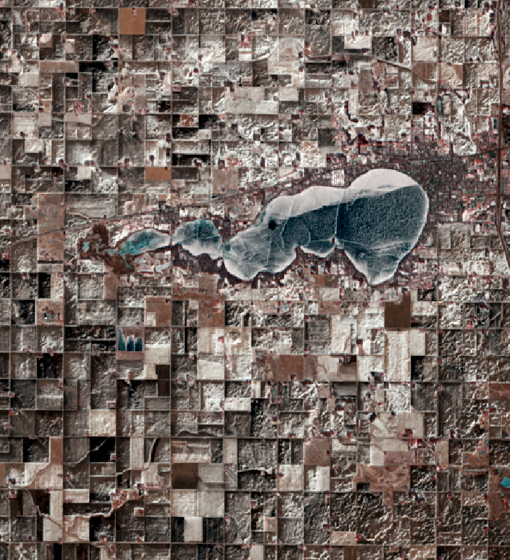
We are continuing our celebration of the 50th year of the US Landsat satellite imagery program. This week we are heading to the lake – Clear Lake, Iowa, located in north central Iowa.
Below are four images showing Summer Solstice (6/13/2019), Fall Equinox (9/17/2019), Winter Solstice (12/22/2019), and Spring Equinox (3/18/2019) from Landsat 8. The images are presented in color infrared which shows vegetation in red rather than green for better contrast.
At Summer Solstice things are still greening up while at Fall Equinox the fields are all green and some are beginning to be harvested.
Observe the different states of the lake: open water, snow covered, and frozen.
The topography of the landscape (ie. hills and roughness) are much more apparent with snow on the ground. In the summer/fall images, it all looks flat.