Want to learn more about the 2024 Solar Eclipse?
The Esri StoryMaps Team put together a great StoryMap, “Mapping the eclipse: A journey through darkness,” to help readers engage and discover more about this epic and unusual event.
The Esri StoryMaps Team put together a great StoryMap, “Mapping the eclipse: A journey through darkness,” to help readers engage and discover more about this epic and unusual event.
This is an excellent challenge to test your geography skills and identify natural features from aerial imagery.
Well, it’s Water Wednesday. Today’s Landsat highlight is a time lapse video (2007-2017) showing the effect of a 2010 dam breach on the water level of Lake Delhi located in Delaware County in eastern Iowa. Notice the dramatic decrease in water and the exposure of large sandbars and the refilling of the lake as the dam is restored.

This year we are celebrating 50 years of the Landsat earth observing satellite mission. Landsat data helps us observe changes in our communities and environment over time.

Saturday, July 23, 2022 marked the 50th anniversary of the launch of the USGS/NASA Landsat earth observing satellite mission. With the launch in 1972, Landsat has continued its earth observation mission and become the longest continuous earth observing satellite.

Enjoy this video recalling the launch and explaining the beginning of the earth observing satellite mission, Landsat 9 – Part 1: Getting off The Ground: https://www.youtube.com/watch?v=FlRf17Egexo.
Keep Observing!


Here are photos from yesterday’s GIS Day event. We had over 50 visitors stop by our table in the ISU College of Design lobby for information about undergraduate minor in GIS and graduate GIS certificate, cupcakes, posters, trading cards and to help put our map puzzles together.

Join the ISU Geographic Information Systems Support and Research Facility to celebrate GIS Day! Enjoy themed cupcakes and poster and trading card giveaways, and learn more about the Geographic Information Science minor and GIS graduate certificate program.
The event will be from 2–4 p.m. Wednesday, Nov. 17, in the foyer inside the main entrance to the College of Design.
https://www.design.iastate.edu/event-listings/2021/11/gis-day-celebration/
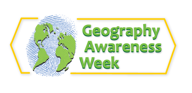
November 14-20, 2021
Geography Awareness Week is coming soon. We will be sharing information about GIS and geography related careers as well as activities and games to help you sharpen your geography and geospatial skills throughout the week. Check IowaView daily for a new topic.
The History of Geography Awareness Week:
The National Geographic Society created Geography Awareness Week over 25 years ago as a way to celebrate and raise awareness of geography both as a discipline and as a part of daily life. The National Geographic Society felt there was a dangerous deficiency in American education with limited exposure to geography too many young Americans are unable to make effective decisions, understand geo-spatial issues, or even recognize their impacts as global citizens.
— see more at the National Geographic Website
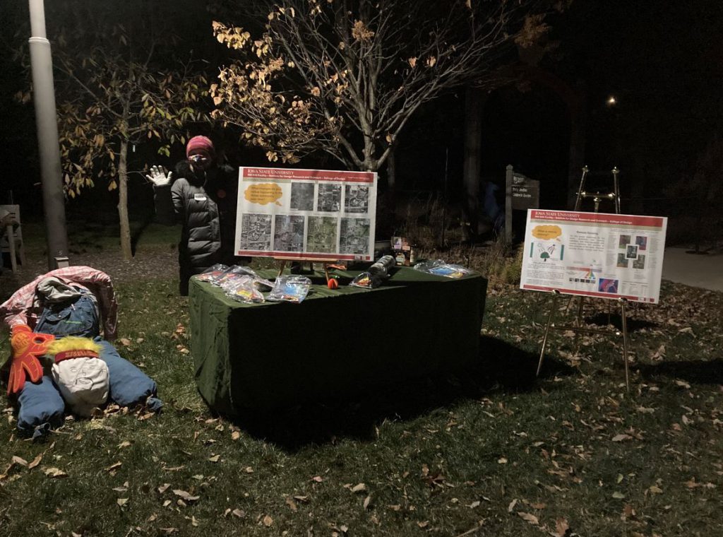
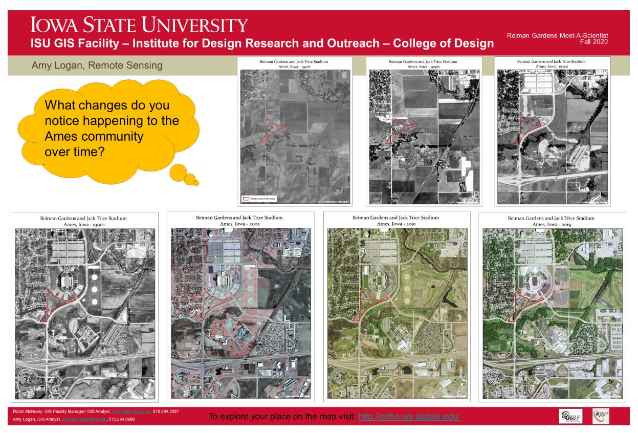
On November 1st, IowaView staff participated the “meet-a-scientist” at the annual Reiman Gardens Spirits in the Gardens event featuring a self guided pathway with hundreds of carved pumpkins as well as scientists to meet along the way. During our shift, there were over 250 visitors of all ages. We were able to share posters featuring remote sensing and GIS, which included aerial imagery of Ames and Reiman Gardens dating from the 1930s to 2019. Participants enjoyed seeing change over time as Ames has urbanize over the last ninety years. Staff gave out goodie bags with AmericaView poster, USGS trading cards, and Earth as Art bookmarks and booklets.
Obscured from view by vegetation and built structures, Iowa’s often subtle landforms are revealed through a LiDAR-derived bare earth digital elevation model in a Geographic Information System. Geological and human made features can be seen in this series of LiDAR color hillshade maps from across the State.
Loess
Deep deposits of wind-blown silt define the Loess Hills region of western Iowa. Intricate drainage networks and agricultural terraces are visible in this map from along the West Nishnabotna River near Hamburg.
Obscured from view by vegetation and built structures, Iowa’s often subtle landforms are revealed through a LiDAR-derived bare earth digital elevation model in a Geographic Information System. Geological and human made features can be seen in this series of LiDAR color hillshade maps from across the State.
Algona
The elevated curved features in this map are glacial moraines deposited during the most recent period of glaciation in north-central Iowa. The largest in this view is called the Algona Moraine.