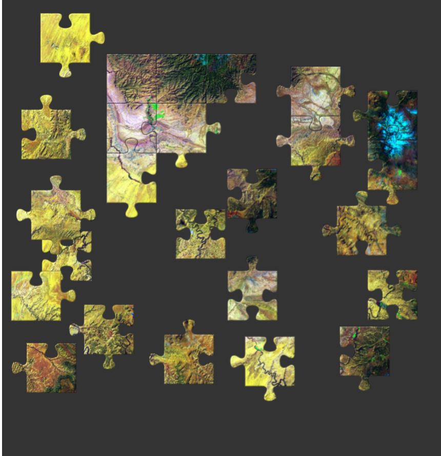
AmericaView has a series of over 70 Earth image puzzles to encourage people of all ages to engage with satellite imagery and learn more about remote sensing by offering a fun challenge. The puzzles can be made to match ability or time available by choosing the number of pieces from 12 to 110 pieces. There are also options that allow the pieces to be shuffled or the border to be completed.
A couple weeks ago Bloomberg News posted an interesting article (click here to read the article) showing how the stay at home orders are effecting areas around the world using high resolution satellite imagery. Below is an example showing Venice, Italy on October 20, 2019 compared to March 18, 2020 after the residents were asked to stay at home. It is interesting to compare the water clarity and traffic.
Venice, Italy: Notice the change in water traffic and water clarity after the Italy began ordering residents to stay at home. Source: Bloomberg.com
The article highlights numerous sites around the globe including: Wuhan, China (before shutdown / after shutdown); Mecca in Saudia Arabia; Venice, Italy; Epcot Center in Florida, USA; Tianjin, China; and Miami Beach, Florida, USA.
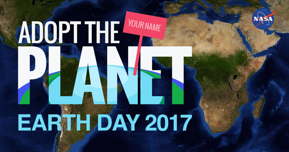
Happy Earth Week! This year NASA has created unique opportunity just in time for Earth Day for interested participants to “Adopt the Planet.” There are 64,000 locations available from adoption.
Credit: NASA https://www.nasa.gov/feature/goddard/2017/nasa-celebrates-earth-day-by-letting-us-all-adopttheplanet
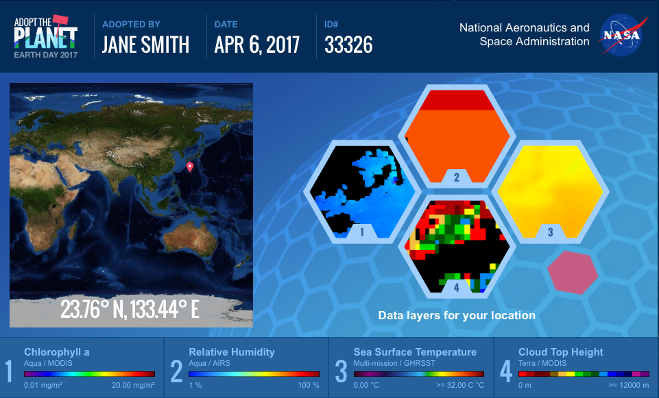
When you visit the website you can fill in your name and then receive a certificate with your adopted patch of Earth. The adoption certificate gives you specific coordinates of your location on our globe as well as satellite data layers relevant to your piece of Earth. You can use WorldView, NASA’s web-based satellite viewing application, to explore your adopted point over time and with different layers.
I received a point on the coast of Antarctica. It was cool to explore a part of our planet that I don’t normally think about on a daily basis. With the WorldView application I was able to see how it changes over the seasons from solid ice to open ocean. WorldView even has the ability to animate these observations.
This outreach event allows us the appreciate our planet from space and helps us learn about some of the space instruments that are continuously monitoring and circling our planet.
Credit: NASA https://www.nasa.gov/feature/goddard/2017/nasa-celebrates-earth-day-by-letting-us-all-adopttheplanet

