Remote Sensing using ArcMap – VirginiaView has put together a series of video tutorials that explain how to download imagery from Landsat as well as create composite images and some basic analysis using ArcMap software. VirginiaView also recently released a new e-book (2020) on Amazon about working with Lidar, Working with Lidar using ArcGIS Pro.
AmericaView University – A self-directed online course in remote sensing supported by AmericaView and collaborating states.

Remote Sensing Core Curriculum – Dr. Joe Knight at the University of Minnesota is maintain a series of Erdas Imagine remote sensing lessons plans.
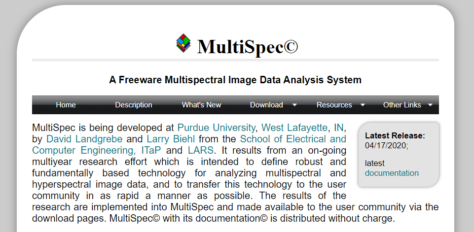
MultiSpec – A freeware multispectral image data analysis system developed by David Langrebe and Larry Biehl at Purdue University, IndianaView. The program is available for download from website along with tutorials.

