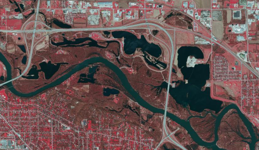
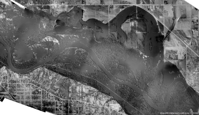


IowaView is a program dedicated to providing research, education, and outreach in the areas of remote sensing and geospatial technology and promoting remote sensing imagery and data resources. IowaView is part of the nationwide AmericaView partnership of remote sensing scientists who support the use of Landsat and other public domain remotely sensing data through applied remote sensing research, K-16+ STEM education, workforce development, and technology transfer.
Current IowaView Factsheet
