IowaView has been involved in many projects and activities. Here is an archive of some of the efforts.
- Exploring the Landscape of K-12 GIS and Remote Sensing Education in Iowa – IowaView staff have launched a study to understand the current use of GIS (Geographic Information Systems) software and technology in K-12 public school classrooms across the state as well as to gauge interest among non-users. We are doing two surveys one for superintendents and one for K-12 teachers. These surveys will provide a snapshot of GIS in K-12 education as well as identify barriers and opportunities for the use of GIS technology. Please contact Amy Logan if you would like to participate.
- Cover Crop Identification Tool
- Mapping Outreach Events– AmericaView has encouraged humanitarian mapping events as an outreach event. IowaView has adopted several annual events as well as other events by request. Click each year below to read highlights from that event.
- Martin Luther King, Jr. Day of Service
- 4-H State Conference
- Earth Observation Day
- 2016 – mapathon and speaker: Professor Brian Hornbuckle, Soil Moisture Active Passive (SMAP) Satellite
- 2017 – mapathon and speaker: Daryl Herzmann, Iowa Enviromental Mesonet (IEM)
- 2018 – speaker: Gregg Hadish, Iowa Geographic Map Server
- 2019 – Speaker: Professor Peter Wolter, Remote Sensing Forestry Research and mapathon
- Past Projects
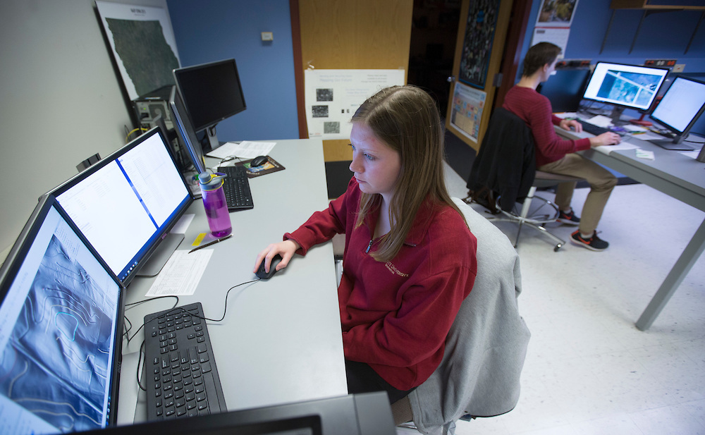
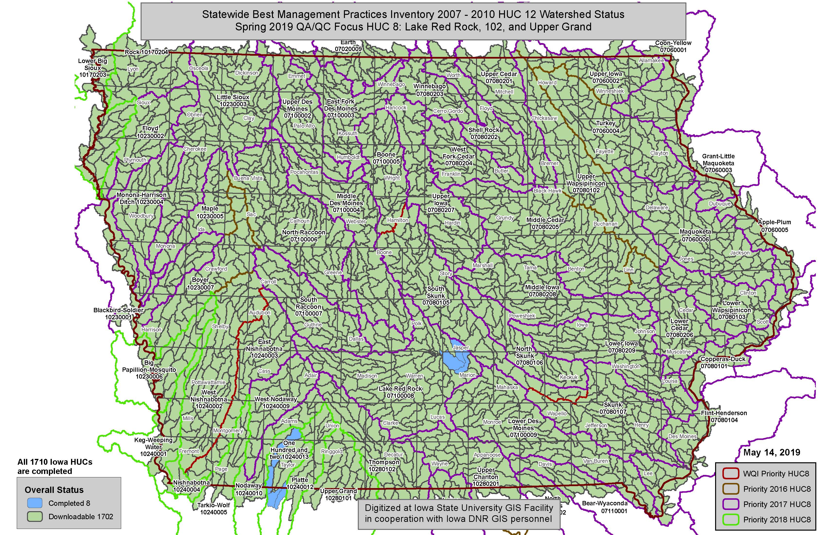
- Iowa Conservation Mapping Project – A mapping project identifying six best management practices in all of Iowa’s watersheds.
- NRCS Slide Conversion Project – This project is developing a process for transforming historic scanned slides (tifs) into useable GIS data using Microsoft Image Composite Editor.
- Riparian Vegetation Buffer Identification – A semi-automated method was developed to identifiy and classify riparian areas bordering stream channels in select watersheds in Iowa.
- IowaView Phenocams – Funding from AmericaView has allowed IowaView to install two phenocam, one at a research site in Iowa and one in Wyoming