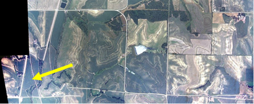
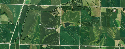
A student has been working to develop a process for transforming historic scanned slides (tifs) into useable GIS data. We have been investigating the utility of a free program, Microsoft Image Composite Editor, to mosaic aerial imagery using funding from AmericaView. As shown in the diagram below, each image contains two sections of a township. The images are stitched together with five other pairs in their row or column to create a strip. Some counties were flown in a north-south pattern while others were flown east-west; it is important to know the direction the images were flown to know how to set up the images for stitching. Each township has three strips which are later georeferenced separately for use in GIS software.
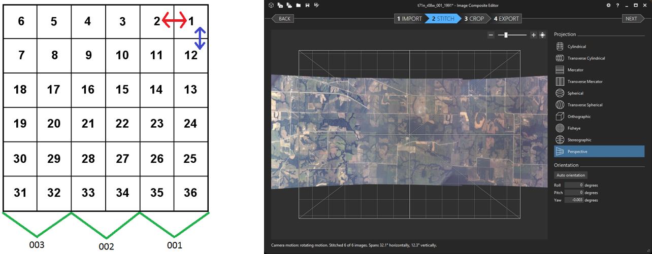
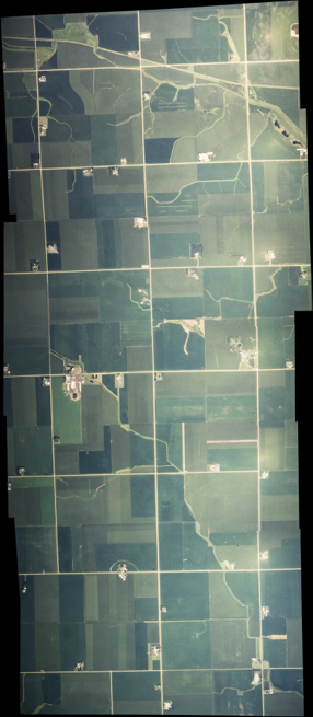
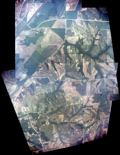
Depending on the undulation of the terrain, some images stitch together well with default settings, while others need minor changes to the settings. Below is a comparison of the stitching process in a flat area of the state, which is almost seamless, in contrast to a hilly area in western Iowa. Once the stitching process results are satisfactory, the image is exported as a tif for georeferencing in ArcMap. The resolution of the resulting georeferenced tif is one meter; the imagery will be useful for historic date establishment, a component of the best management practices inventory dataset. The finished county imagery is available for use in GIS software as WMS or ArcGIS services. View the mosiac images for 1979, 1981, and 1991 at goo.gl/K3duZy. Select “Iowa-1979 (1981 or 1991) Aerial Photos (in progress)”. The initial funding for this work and a mini-grant to continue work were awarded by AmericaView and the 2016 final report is available as well as a two page mini-grant fact sheet (page 1) (page 2). New imagery is being added as it checked and color balanced. Additional funding is also being pursued to continue the work into the future.