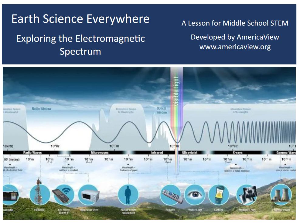
As we continue our series unpacking the lessons of the 2024 Earth Observation Day poster, “Earth Science Everywhere.” Today we are going to explore the forestry lesson, “Exploring Amazonian Deforestation,” which seeks to engage students in an examination of how human activities modify the natural environment. This lesson can be used to fulfill the National Council of Geographic Education (NCGE) Standards 1, 3, and 14 (see lesson plan for details).
Lesson Plan Background Information:
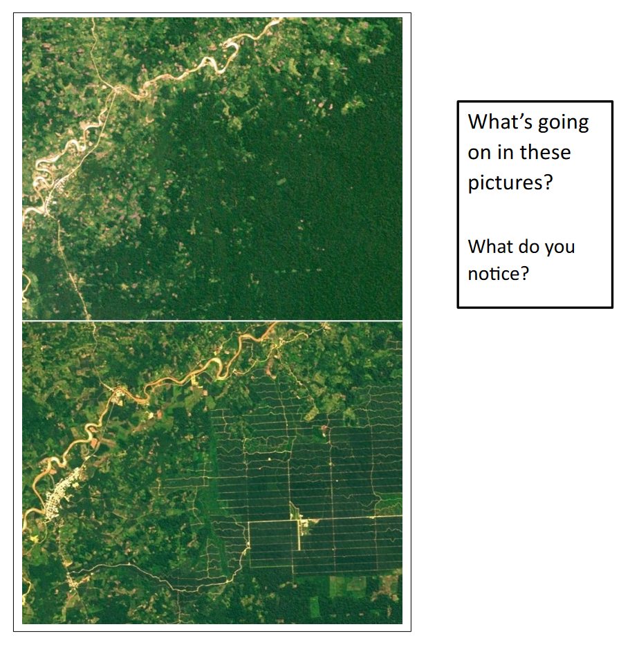
In this lesson, we learn that scientists have been using satellite imagery to track the deforestation of the Amazon rainforest for several decades. Through the satellite images we can see that the clearing of the rainforest has changed over time, both in its pace and location. Beginning in the 1990s, agriculture, forestry, and mining development proceeded rapidly. Satellite-based forest monitoring enabled the successful enforcement of forestry management practices, where such practices are applied. The Landsat image pair on the front of the Earth Observation Day poster shows the land use change between 2001 and 2019, when palm oil plantations replaced rainforest in Peru. Illegal forest clearing adapts to new monitoring practices and is still occurring across the region. Satellite imagery helps scientists and governments monitor deforestation shifts and develop new deterrence strategies.
Images from the lesson plan
Hightlights from the Lesson Plan:
To that end, this is a great lesson for teaching students how technology (satellite images) can show the impact deforestation can have on a community. The lesson is broken into two sessions.
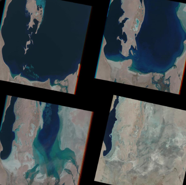
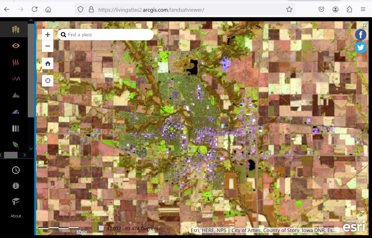
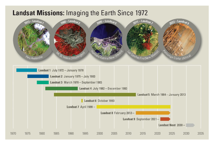
During the first session, students focus on engaging with satellite imagery. To begin with students look at two images and explain what is happening (see Image 1). The images show the landscape change associated with rainforest deforestation. Secondly, students get to use the Landsat App, an online browser-based tool (seen in Image 2), to complete a lab exercise. During the lab exercise, students use technology to notice changes in the Amazon rainforest of Brazil over a forty-year period. Finally, at the end of first session, students use their new knowledge about satellite imagery to put a series of images in order on a timeline.
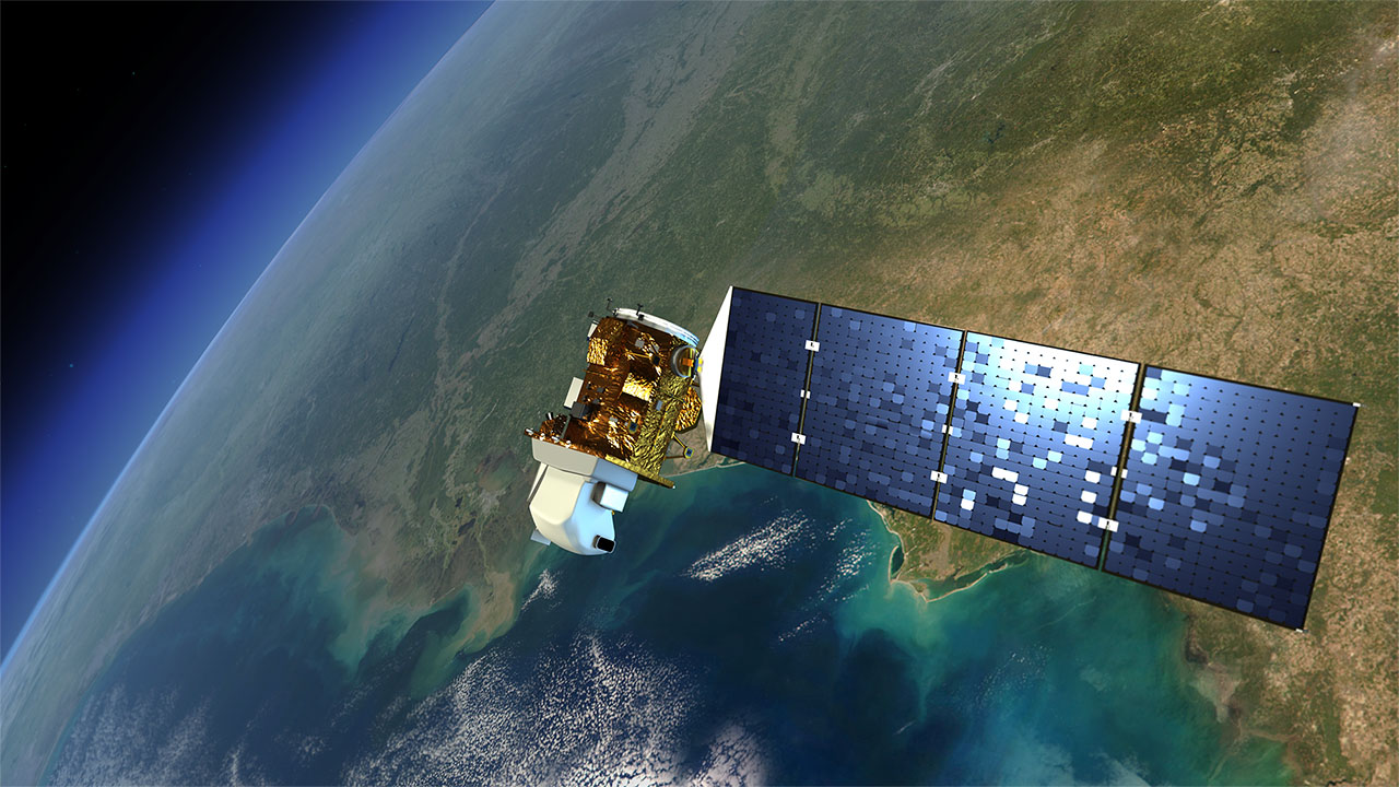
Following, in the second session, the students read an article about Amazon deforestation, intended to bring further meaning to the lab exercise that the students did during the first session. Afterwards, students can explore careers related to forestry and environmental planning. Finally, to wrap up the session, students take a quiz about Amazon deforestation associated with the previous activities. As an illustration, this lesson shows the importance of having access to the US Landsat satellite imagery program, a free, expansive (over 50 years), historical, and ongoing record that helps scientists and government officials monitor deforestation and help guide policymaking to preserve natural resources.
Download the lesson:
https://ckan.americaview.org/data/AmericaView/EOD/2024_eod_deforestation.pdf
View the 2024 EOD poster and other lesson plans:
https://ckan.americaview.org/dataset/2024-earth-observation-day-poster
View related posts:
Part 2: https://www.iowaview.org/dear-teachers-part-2-exploring-the-electromagnetic-spectrum/
Part 1: https://www.iowaview.org/dear-teachers-2025-a-review-of-av-teaching-resources/