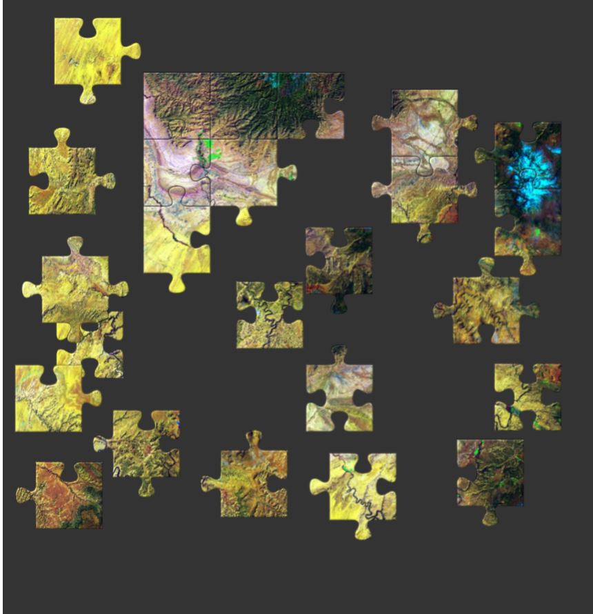
Earth Image Puzzles
Bandwidth Requirement: Low
Grade Level: All
AmericaView Earth Image Puzzles can be used to teach students about the environment, agriculture, natural resources, geology, landscape change, human impacts, and how scientists use satellites to study the world in which we live.
http://bit.ly/EarthPuzzles
AmericaView Resource Portal
Bandwidth: Low – High
Grade Level: K-Graduate
Educational Topics: Various
The AmericaView Resource Portal contains six resource folders: Factsheets, Courses, Earth Observation Day (EOD), K-12 Resources, Publications, and Tutorials. Factsheets give two-page summaries for each StateView’s annual activities. The other folders provide articles and activities exploring remote sensing topics ranging from land cover and changes in landscapes to forestry and watershed issues. The freely available resources are searchable by grade level and resource type, with downloadable instructional materials (including lecture notes, powerpoints, and handouts).
https://ckan.americaview.org/group

Remote Sensing Imagery Game
Bandwidth: Low
Grade Level: K-12
An interactive matching game that teaches students about earth science through remote sensing. The activity enables students to compare satellite images of land cover over time. Students explore the images from various locations throughout the world, identify their visible physical characteristics, detect land cover change over time, and train their memory to quickly recognize patterns. https://wisconsinview.org/wordpress/game
Earth Observation Day Posters and Games
Bandwidth requirement: Medium
Grade Level: All
Earth Observation Day (EOD) is a Science, Engineering, Art, and Mathematics (STEAM) education and outreach event. The official EOD event is usually held the Tuesday of Earth Science Week (second full week in October), but every day can be an EOD celebration! Use the EOD materials to give students the opportunity to learn about earth observations (satellite imagery) through interactive games, informative descriptions, and amazing remotely sensed imagery.
http://bit.ly/AV-EOD