On Day 5 of Geography Awareness Week, we are encouraging readers to visit the Iowa Geographic Map Server (IGMS) and complete today’s challenge. The Iowa Geographic Map Server project began over 30 years ago at Iowa State University. Today, the project is hosted and maintained by the Iowa State University GIS Facility to serve Iowans by sharing historical and contemporary statewide aerial imagery from the 1930s to the present through the website and associated applications. There are also many historical land ownership maps and many other statewide layers including:
- elevation maps (LiDAR and USGS topographic maps),
- historical maps (General Land Office survey maps from 1800s, Andreas Atlas, historic topography),
- land cover maps (historical and contemporary)
- geology (landforms and bedrock)
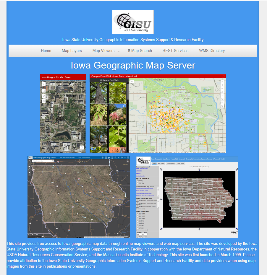
Here’s your challenge: Zoom into your city or a place of significance to you and discover how it has changed over the years, look at how the land cover changed, challenge yourself to find as many changes as you can.
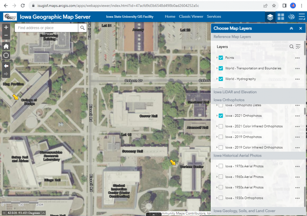
Interested in learning more about the IGMS? Watch Gregg Hadish’s recent presentation, “Accessing Iowa Map Services in GIS and Web Applications,” for the Iowa Geographic Information Council September 2023 Lunch and Learn professional development series.