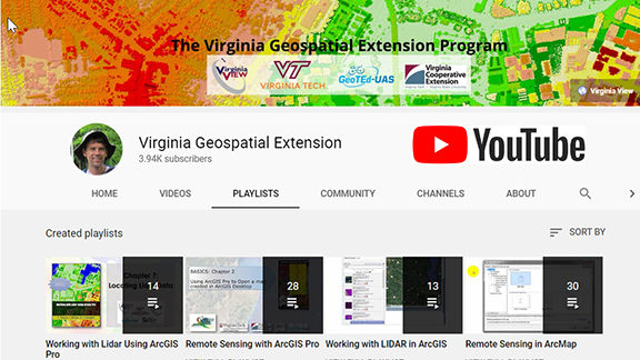
VirginiaView, in partnership with Virginia Tech and other partners, recently published a new video tutorial series called “Working with Lidar Using ArcGIS Pro”. This resource is appropriate for 2-year and 4-year college faculty who would like to integrate additional online (and self-paced) educational resources with their courses.
Previous tutorial topics have also been popular with geospatial professionals who are seeking a cost effective and self-paced opportunity to sharpen their geospatial skills. The new tutorial series (and other topics listed below) might be appropriate for professionals working with local/regional/state/federal governments, as well as in the private sector.
The following geospatial video tutorials are available at no cost, and can be accessed via http://www.virginiaview.net/videos
– New! Working with Lidar Using ArcGIS Pro (14 videos)
– Remote Sensing with ArcGIS Pro (28 videos)
– Remote Sensing with ArcMap (30 videos)
– Using Lidar in ArcGIS Desktop (13 videos)
– Drones: Mastering the Aeronautical Charts (6 videos)