#Landsat Throwback Thursday – 50 years of Growth in Dubai


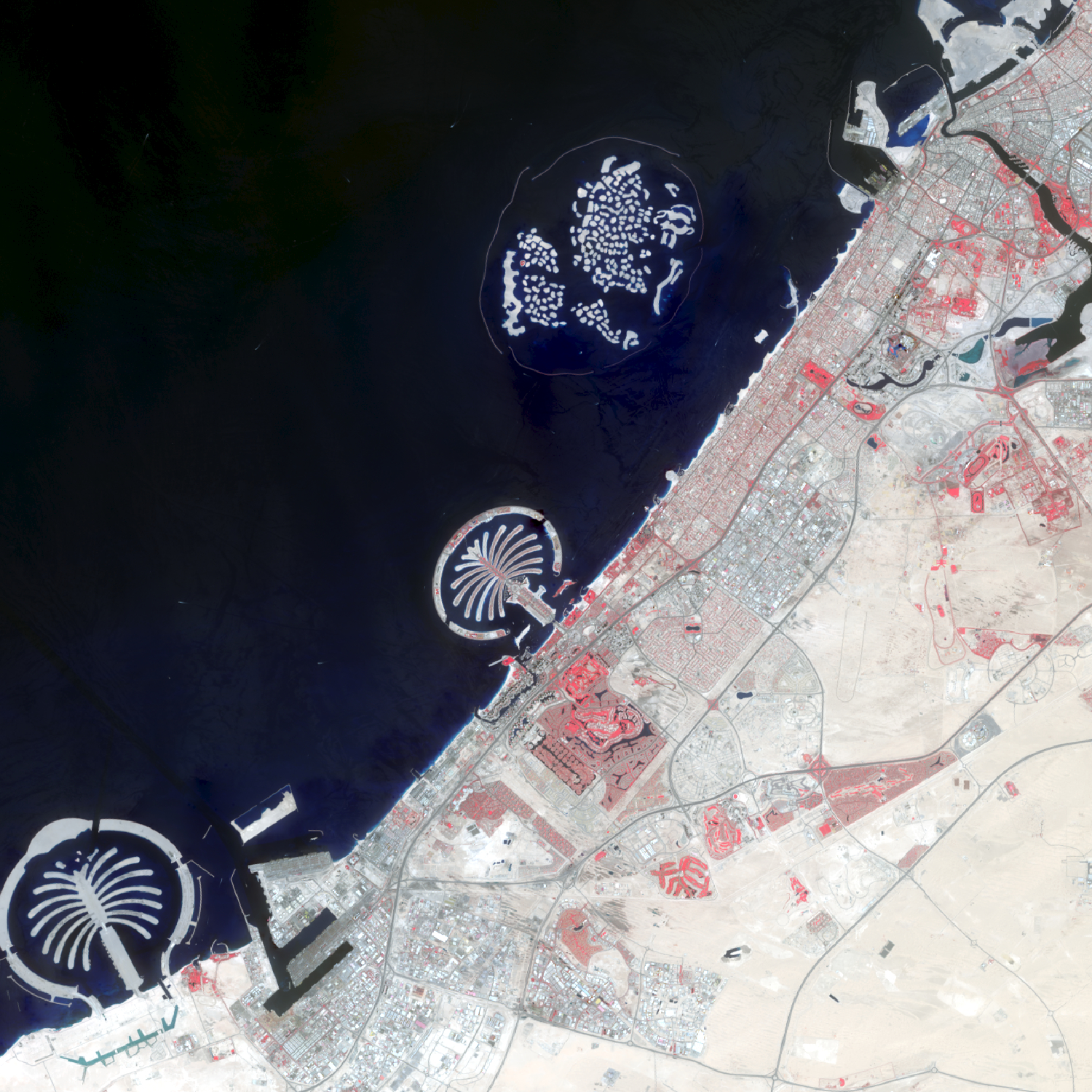
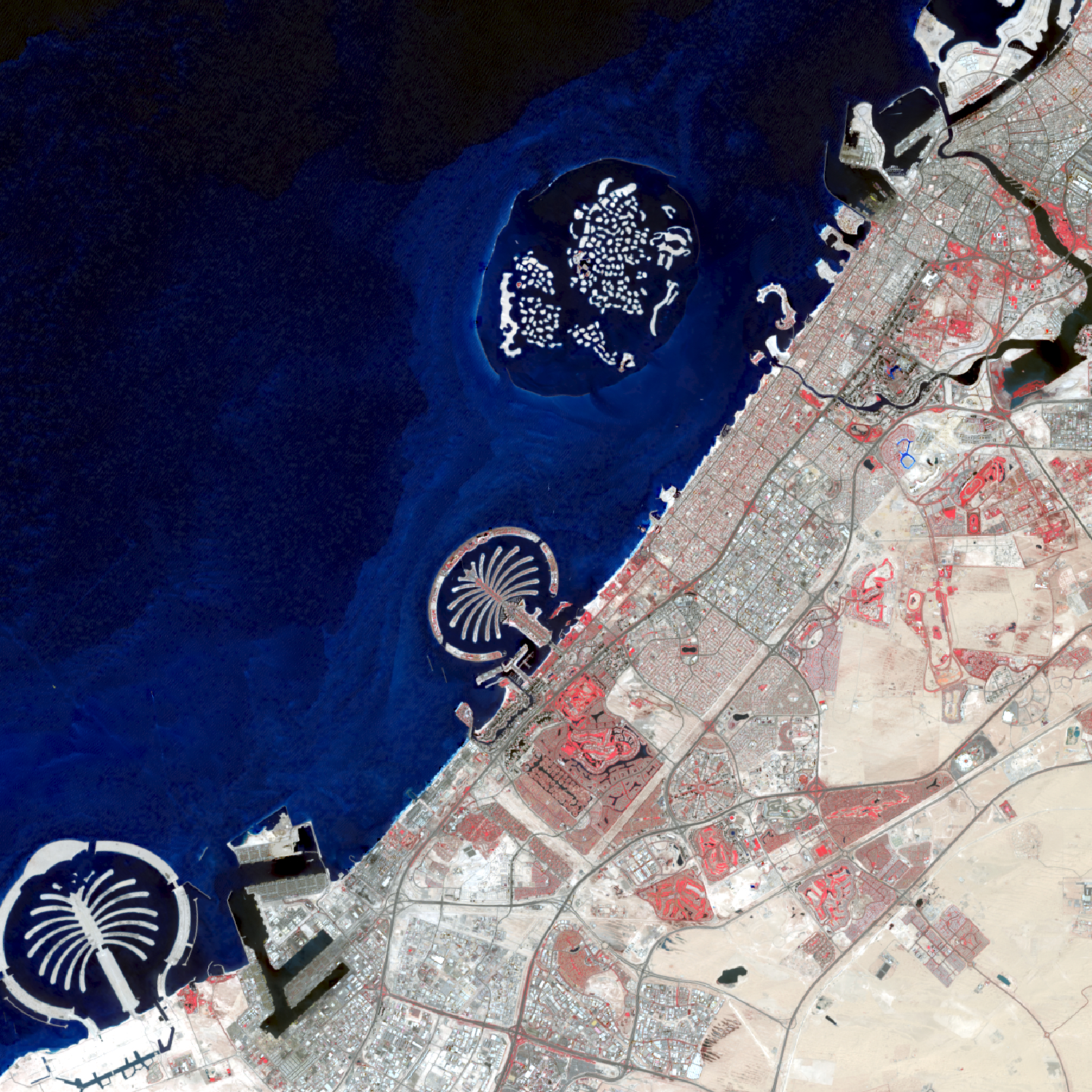
Over the last 50 years, the city of Dubai, in the United Arab Emirates, has transformed from a small fishing and pearl diving village into a luxurious, modern metropolis. The population has grown from just over 100,000 residents in 1972 to an estimated 2.9 million residents in 2022. While the beauty and distinction of this city is undeniable, some question the sustainability of this fast-growing city located in a land of desert and salt water. The images are shown in false color infrared. Areas appearing red show healthy vegetation. Notice the dramatic change from first image in 1973 (very little vegetation and urbanization) to 2022 with many areas of red far from the water.
To create these images, individual bands were downloaded from the United States Geological Survey’s Earth Explorer Website (https://earthexplorer.usgs.gov/) in April 2022. The composite false color infrared images were created in ArcGIS Pro using the composite imagery processing tool.
This year we are celebrating 50 years of the Landsat earth observing satellite mission. Landsat data helps us observe changes in our communities and environment over time.
