Category Archives: Women’s History Month

Ladies of Landsat – Many Pathways to becoming Remote Sensing Scientists
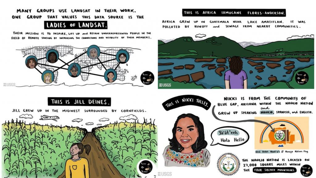
The Ladies of Landsat have shared some great USGS case study videos showcasing the paths women and girls can take to become remote sensing scientists. Three scientists stories are highlighted: Jill Deines, Africa Ixmucane Flores-Anderson, and Nikki Tulley. Read more and enjoy their stories below:
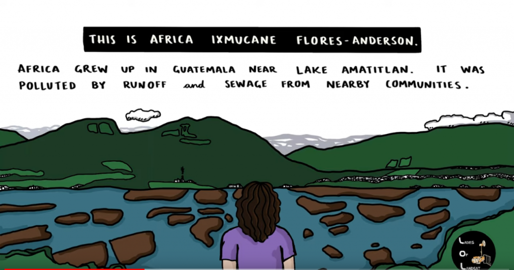
Africa Ixmucane Flores-Anderson: Using Landsat to Connect Pace to Village – Africa was inspired to help her local community in Guatemala by mapping water quality with Landsat and is now at monitoring deforestation.
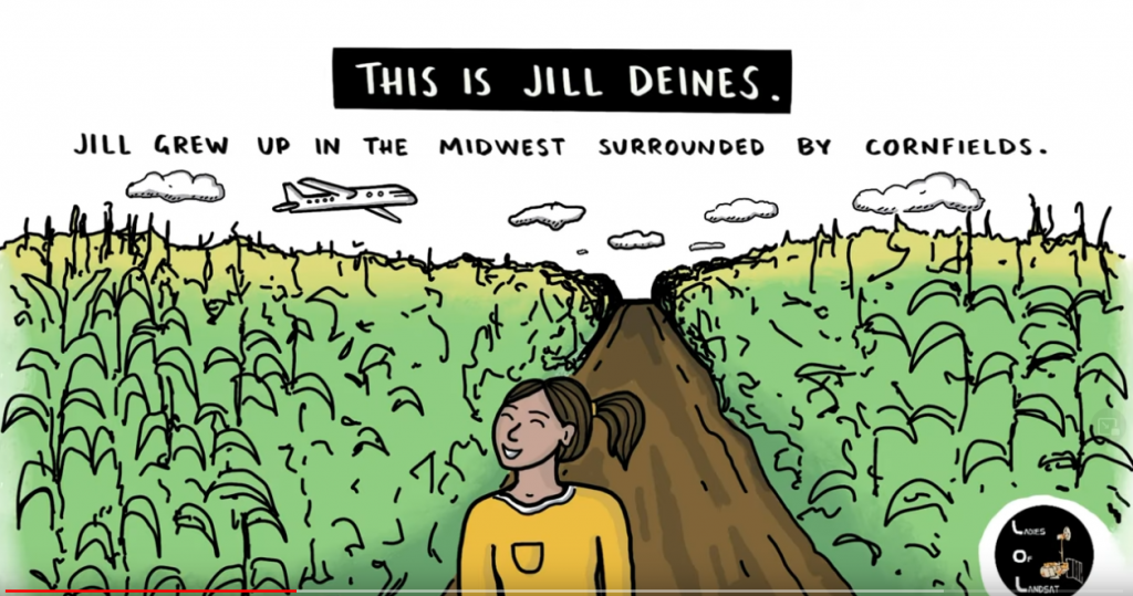
Jill Deines: Using Landsat to Map Agriculture Yields and Irrigation Use – Dr. Jill Deines was was drawn to the bird’s eye view of agriculture plots growing up in the Midwest. Now she uses Landsat to monitor water resources and crop yield.
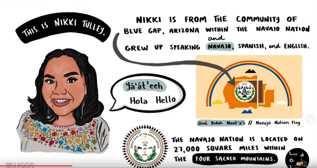
Nikki Tulley: Speaking a New Language of Landsat – Nikki grew up in the Navajo Nation without running water in her household. As PhD student at University of Arizona and Indigenous scientist, she uses Landsat to track drought conditions in her home community.

Championing Women and GIS on International Women’s Day

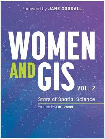
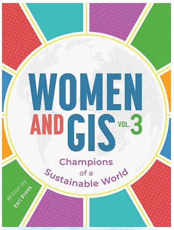
Today is International Women’s Day. Esri Press has a 3-book series Women and GIS, each book highlights stories and contributions of 30 women doing awesome things with geospatial technology. An exciting companion to the books is a series of 3 webinars in which women highlighted in the books are able to present about their projects. Take some time today to celebrate and explore the achievements of women in GIS.

Here’s more information about the Women and GIS webinar series:

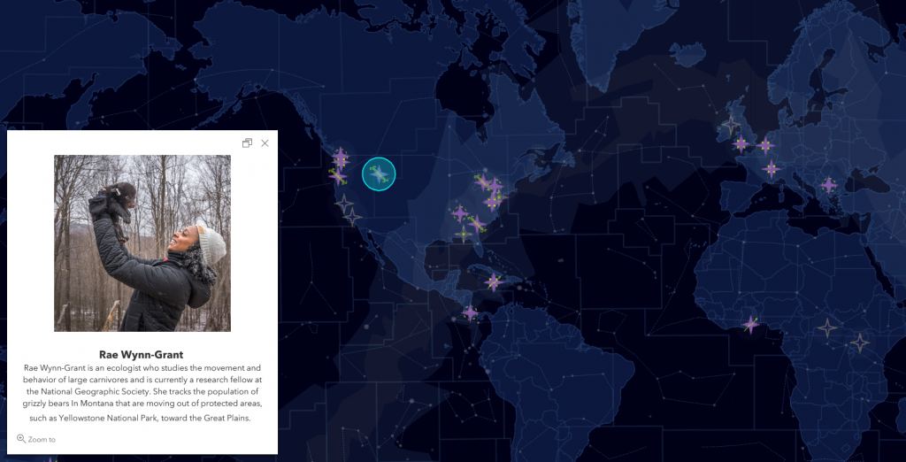
Investigate these great Story Maps related to the books:

Celebrating Women: Start of Spatial Science

Women and GIS, Volume 3: Champions of a Sustainable World

Celebrating the “Mother of Landsat” – Virginia T. Norwood

“I have seen further by standing on the shoulders of giants.” ~ Sir Isaac Newton

This week is the virtual American Society for Photogrammetry and Remote Sensing (ASPRS) conference. At today’s conference, the ASPRS Lifetime Achievement Award was presented to Virginia T. Norwood.

Virginia Norwood is known as the “Mother of Landsat.” When interviewed by Laura Rocchio for a NASA Landsat Science article, Ms. Norwood was asked if she is comfortable with this title and she replied, “Yes. I like it, and it’s apt. I created it. I birthed it; and I fought for it.” In recognition of her contributions to satellite communications and optics for over 40 years, including the design, building, promotion and operation of the first multspectral scanner (MSS) on-board Landsat-1, Ms. Norwood was awarded the 2021 ASPRS Lifetime Achievement Award.

To learn more about Virginia’s story: https://landsat.gsfc.nasa.gov/article/virginia-t-norwood-mother-landsat

Congratulations, Virginia! Thank you for all your contribution to Landsat and Science!

Women in GIS

March is Women’s history month. Below are a few resources to begin exploring the contribution of women in GIS and related fields (cartography, remote sensing.)

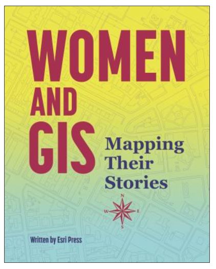
Women and GIS: Mapping Their Stories and it’s sequel, Women and GIS: Stars of Spatial Science highlight stories of women using GIS tools to contribute to their world and community. Esri Press also created a webinar that has presentations by four of the women featured in the second volume of the series

Laura Bliss wrote a four-part series for Bloomberg CityLab in 2016 about women’s contributions in cartography and GIS.
Part 1: The Hidden Histories of Maps Made By Women: Early North America
Part 2: How Women Mapped the Upheaval of 19th Century America
Part 3: How 20th-Century Women Put the ‘Art’ in Cartography
Part 4: Meet the Extraordinary Women Making Maps Today

GIS Lounge has a Women in GIS Networking Groups page which highlights a number of groups that provide peer support for women in GIS: https://www.gislounge.com/women-in-gis/.

Brandman University released a webinar series in October 2020 titled, “Geospatial experts helping women build careers as geographic information systems analysts”. The series covers topics including career and professional development, how to be ethical with data, social justice, storytelling through storymaps, and COVID-19 response. Two lectures will be coming soon, Careers of Women in GIS: How to Explore Your Career – March 29, 2021 at 1pm and Careers of Women in GIS: Finding Your Authentic Voice – April 27, 2021 at 1pm.

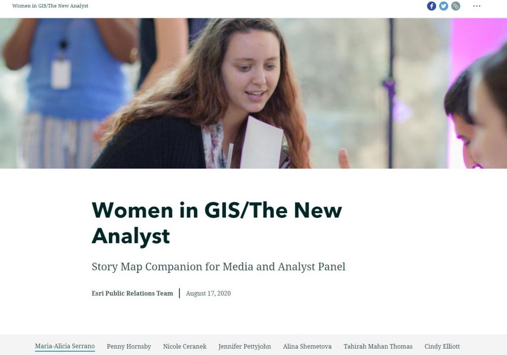
Another webinar and storymap to view from the 2020 ESRI User Conference, “Women in GIS/ The New Analyst” which feature seven women in GIS who discuss their career paths, obstacles they’ve overcome, and the transformative role of GIS. Here’s the link for the webinar: https://www.youtube.com/watch?v=s9K3ZDT7KOk

Click below to explore the Story Map.