I was going through a collection of maps in my basement this weekend and found the map seen below: PORTRAIT U.S.A. – the first color photomosaic of the 48 contiguous United States which was featured in the July 1976 issue of National Geographic Magazine. Here’s to forty years of color photomosaics! Happy Monday!
Here’s a description of the map from the National Geographic website: The first color satellite photomosaic of the 48 contiguous United States, this landmark map was published in July of 1976. The near-true color imagery creates a portrait of the patchwork quilt of the entire country. Trace the Mississippi river from its source to the Gulf of Mexico. See the deserts of New Mexico, Arizona, and California. Follow the Rocky Mountains through the western states. A cartographic benchmark, this map laid the groundwork for the many that have followed. http://www.natgeomaps.com/portrait-usa-map
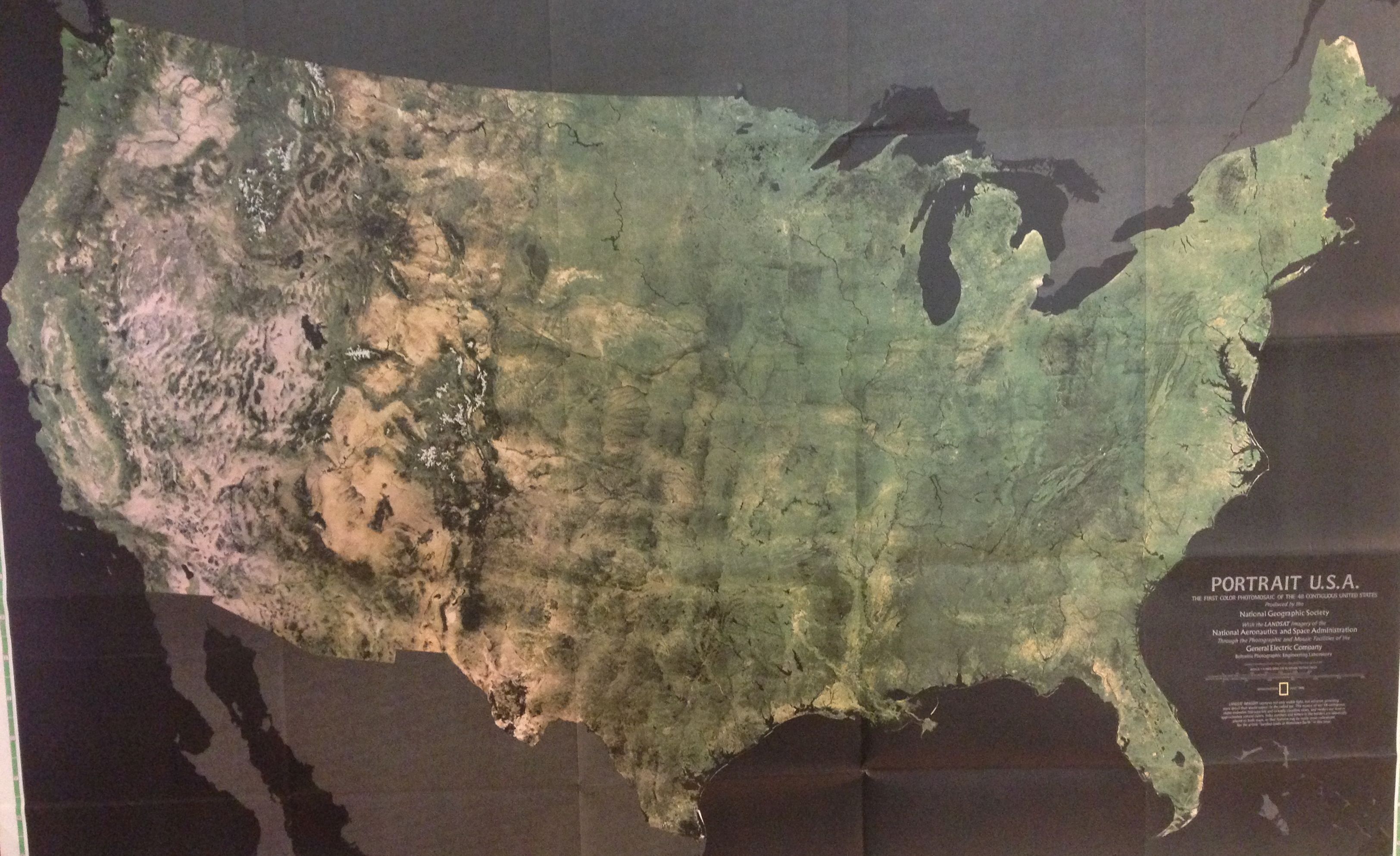
In the blog post, “When the Earth Began Looking at Itself: the Landsat Program,” Fosco Lucarelli, provides additional history and images of Landsat program. The PORTRAIT U.S.A is composed of 700 mosaic images.
