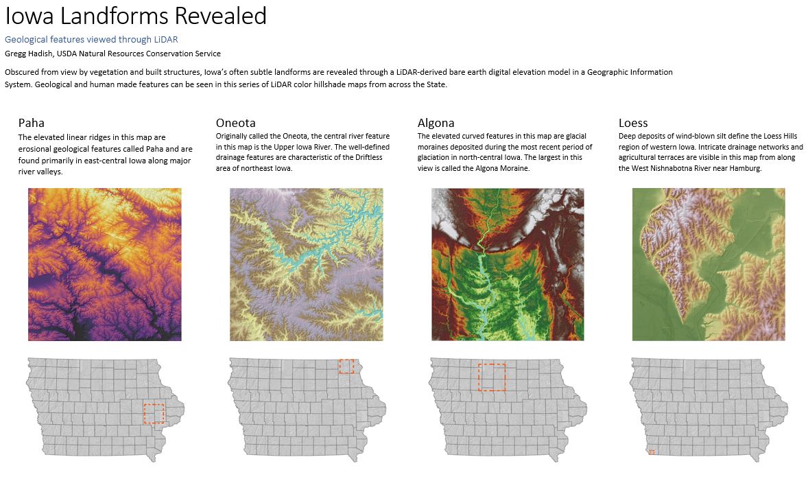
This spring, Gregg Hadish of USDA Natural Resource Conservation Service and staff member of ISU GIS Facility put together a series of images called Iowa Landforms Revealed. The project looks at Iowa geological features using LiDAR. Gregg also used interesting color ramps to give these images an artistic component, inspired by the USGS Earth as Art project. The initial project includes a series of 4 images which debuted at the Iowa Technology And Geospatial (ITAG) Conference in West Des Moines, Iowa, this summer. We will be highlighting each image over the next several weeks as a special series feature on the IowaView blog. Please feel free to leave comments or suggestion for future landforms for us to explore.


