Obscured from view by vegetation and built structures, Iowa’s often subtle landforms are revealed through a LiDAR-derived bare earth digital elevation model in a Geographic Information System. Geological and human made features can be seen in this series of LiDAR color hillshade maps from across the State.
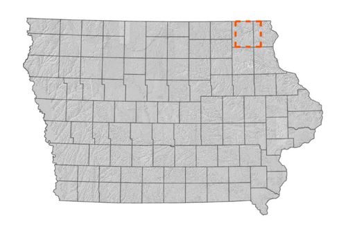
Oneota
Originally called the Oneota, the central river feature in this map is the Upper Iowa River. The well-defined drainage features are characteristic of the Driftless area of northeast Iowa.