
IowaView hosted a workshop on June 26, 2018 as part of the annual State 4-H Conference. The workshop provided 4-Hers with an introduction to OpenStreetMap and online mapping for community service and humanitarian aid purposes.
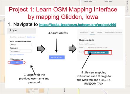
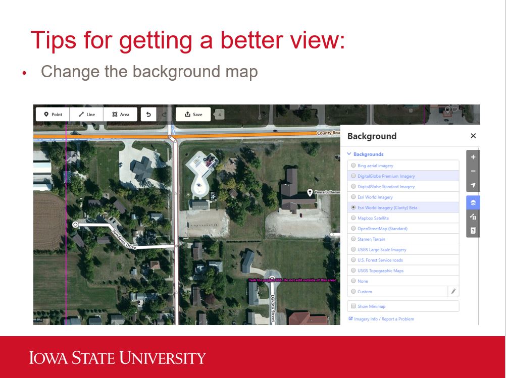
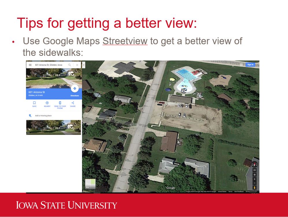
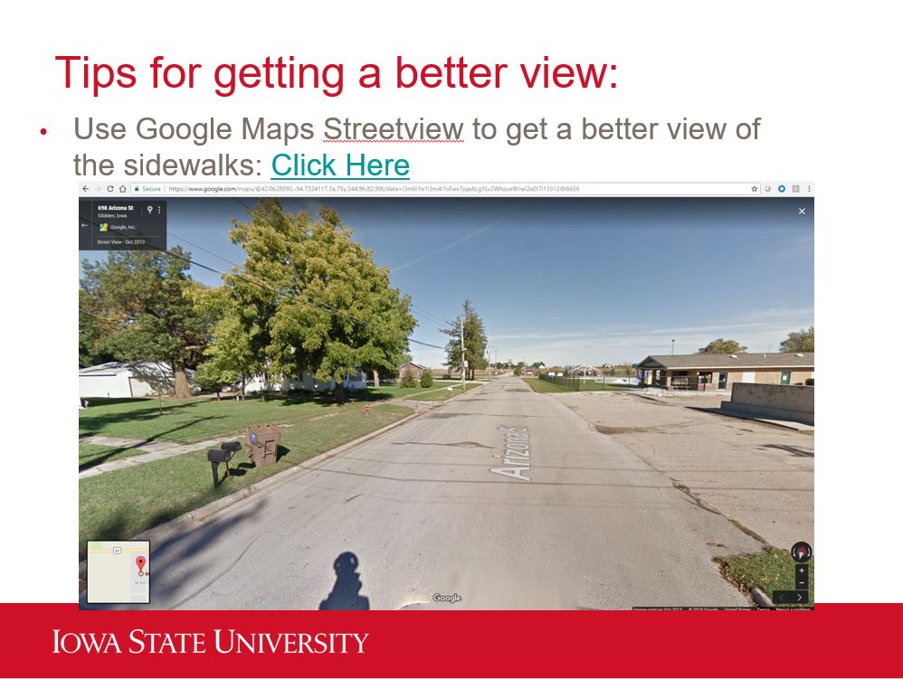
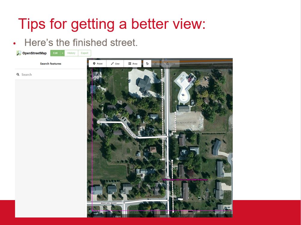
The workshop began with an introductory lecture and then students completed two projects. The first project was mapping in Glidden, Iowa. IowaView partnered with ISU Geospatial Extension to help them improve the OSM basemap by creating more complete data for streets, sidewalks, alleys, parks, and crosswalks as part of a community planning project. The 4-Hers were encouraged to use Google street view in addition to the OSM imagery to get better views of the sidewalks and crosswalks which can often be obstructed by trees.
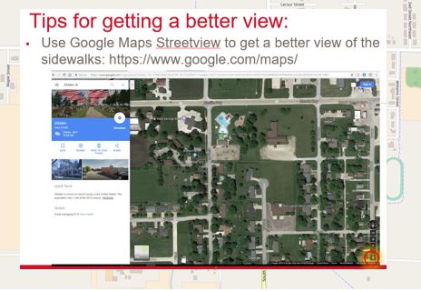
The original view (no sidewalks)
The group also had a short time to work on a project with the Humanitarian OpenStreetMap team helping map buildings in Osaka, Japan as part of their earthquake recovery efforts.


