Tag Archives: Humanitarian Mapping

Day 2 – GAW 2023: Contribute to OPENSTREETMAP and MapRoulette

OpenStreetMap (OSM) is a publicly created and maintained map of the world – the Wikipedia for maps. Anyone with access to an internet browser can view the map and can sign up for a free OpenStreetMap account to edit and update the map. Edits to the map are reviewed and validated by other members of the community. If you are new to OpenStreetMap, visit their welcome page to a short introduction: https://osmgeoweek.org/guides/intro.

Here are several ways to get engaged with OpenStreetMap:

~ Review your local OSM basemap for accuracy and consider adding community features that are missing or need updating.

~ Spend time working on a Humanitarian OpenStreetMap project. For a current list of priority project visit: https://tasks.hotosm.org/explore

~ Only have a little bit of time? Consider MapRoulette, the game of mini mapping challenges, it breaks OSM work into snack-sized “challenges.” Earn points by fixing validation issues, turning nodes into areas, adding missing tags, and through countless other little tasks that contribute to a healthier map.

Geography Awareness Week: Review and Contribute to OpenStreetMap

OpenStreetMap (OSM) is a publicly created and maintained world map – the Wikipedia for maps. Anyone with access to an internet browser can view the map and anyone with a free OpenStreetMap account can update the map. If you are new to OpenStreetMap visit their welcome page to a short introduction: https://osmgeoweek.org/guides/intro .

Here are several ways to get engaged with OpenStreetMap:

~ Review your local OSM basemap for accuracy and consider adding community features that are missing or need updating.

~ Spend time working on a Humanitarian OpenStreetMap project. For a current list of priority project visit: https://tasks.hotosm.org/explore

~ Consider joining mappers around the globe in the November OSM US 30 Days of Mapping Challenge (each day has themed asset to map): https://wiki.openstreetmap.org/wiki/United_States/Projects#30_Days_of_Mapping_-_November_annually

Join in the fun ~ TeachOSM Back-to-School Night ~ September 21

When: September 21st, 2021 8:00 PM through  9:00 PM (Eastern)

Attention educators and mappers! Join TeachOSM Tuesday, 21 September for our first ever ‘back-to-school’ night. We’re offering an informal open house to introduce our programming. This hour-long event will feature brief demos from teachers and mappers to enable you to:

  • Find out more about how you can put OSM in your school
  • Learn how to take advantage of our Map-Alongs and other educational programming
  • Find out how you can get support open mapping education in your community

Sign up now to reserve your space!

Open Street Map – Your Passport to Adventure

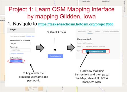
IowaView hosted a workshop on June 26, 2018 as part of the annual State 4-H Conference. The workshop provided 4-Hers with an introduction to OpenStreetMap and online mapping for community service and humanitarian aid purposes.

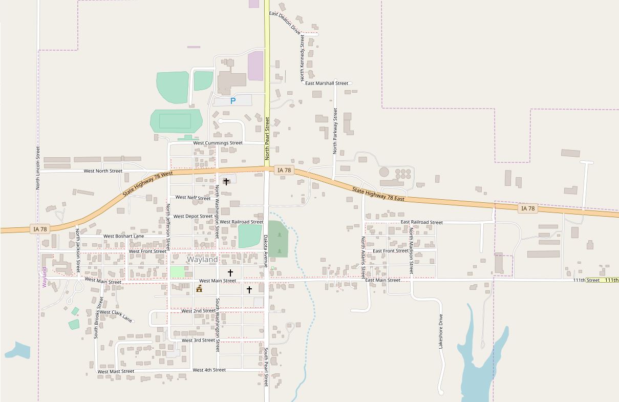
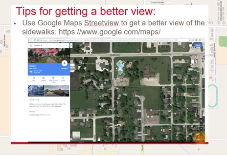
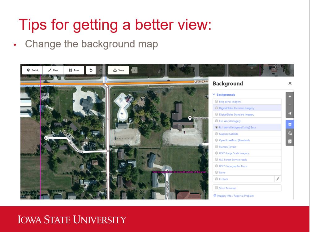
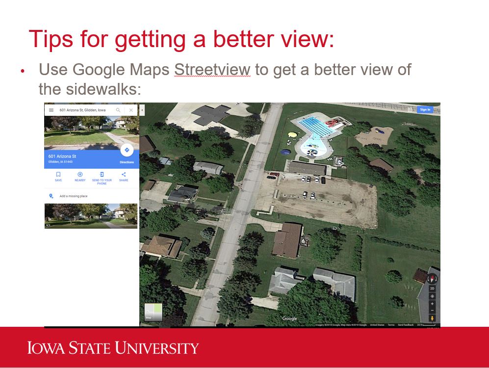
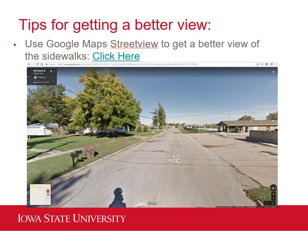
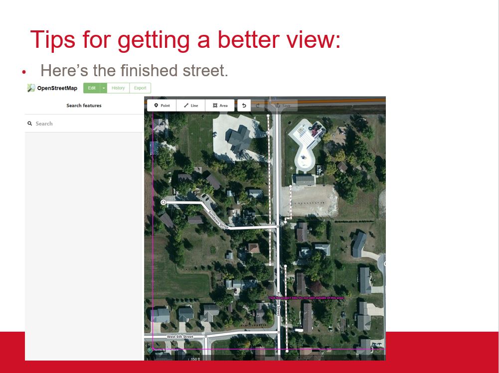
The workshop began with an introductory lecture and then students completed two projects. The first project was mapping in Glidden, Iowa. IowaView partnered with ISU Geospatial Extension to help them improve the OSM basemap by creating more complete data for streets, sidewalks, alleys, parks, and crosswalks as part of a community planning project. The 4-Hers were encouraged to use Google street view in addition to the OSM imagery to get better views of the sidewalks and crosswalks which can often be obstructed by trees.

Notice the sidewalks (some are still hard to see, obstructed by trees)
Here’s a view of the sidewalks from the street
Now the basemap is complete

The group also had a short time to work on a project with the Humanitarian OpenStreetMap team helping map buildings in Osaka, Japan as part of their earthquake recovery efforts.