Tag Archives: #geoweek

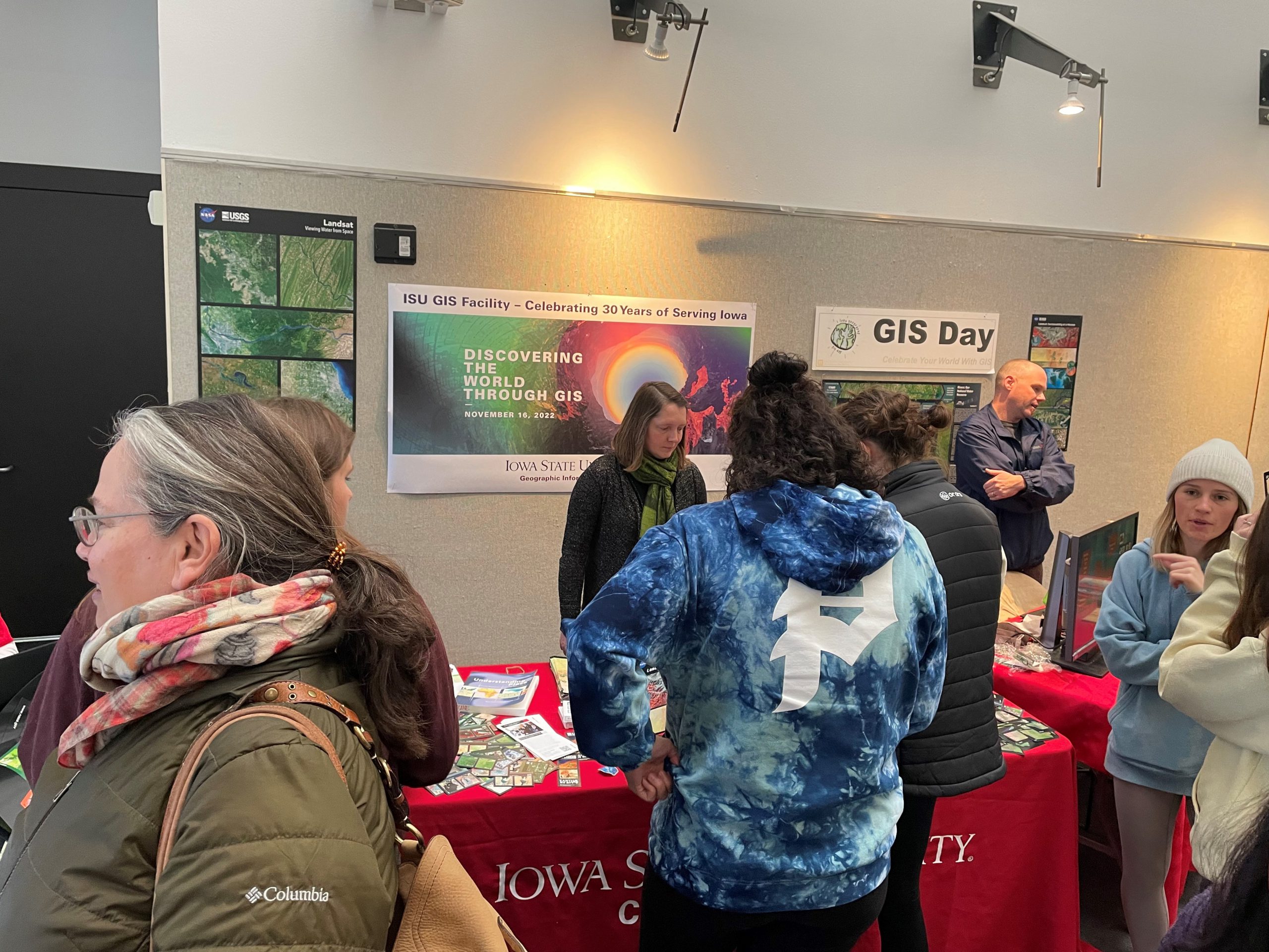
Photos from ISU GIS Day 2022

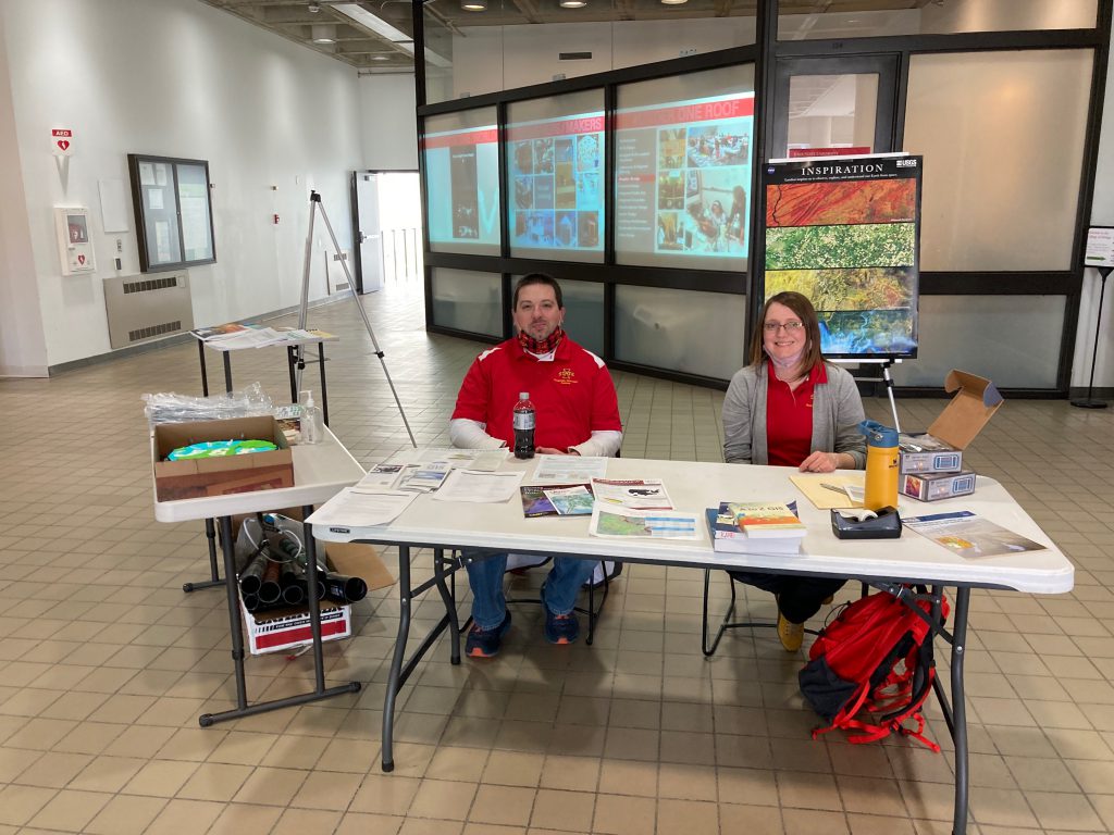
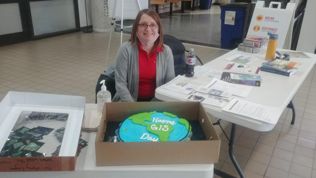
Celebrating 30 years of GIS at ISU today on GIS Day! We also celebrated the 50th anniversary of Landsat and were able to hand out playing cards, refreshments, posters, and other educational materials. This was a great opportunity for our staff in the GIS facility to share the work that they are doing, and teach others about GIS.

Celebrate with us today! 30 years of GIS at ISU!!!

Today is GIS Day! We are celebrating in the North atrium of the College of Design. Today is an especially exciting celebration as we are also celebrating the 30th anniversary of the ISU GIS Facility on campus and 50 years of the US Landsat, earth observing satellite mission. Please join us in the College of Design from 11:30am to 2:00 pm. We will have several activities, puzzles, refreshments, educational giveaways, and door prizes.

For additional information and directions, visit: https://www.design.iastate.edu/event-listings/2022/11/gis-day-open-house-event/.

Are you Counting Down to GIS Day 2022?

Wednesday, November 16, 2022, the Iowa State University GIS Facility will be hosting an open house event for GIS Day from 11:30 to 2:00 in the North atrium of the College of Design.

This year we will also be celebrating the 30th anniversary of the ISU GIS Facility and 50 years of Landsat, the US Land Satellite mission. We will have refreshments and giveaways. It will be a chance for students interested in the GIS minor and GIS certificate programs to ask questions and to meet with GIS professionals. We have confirmed professionals from the Iowa Department of Transportation coming to showcase some of their work. If other GIS professionals are interested in reserving time to meet with students, please contact Amy Logan.

Geography Awareness Week: Review and Contribute to OpenStreetMap

OpenStreetMap (OSM) is a publicly created and maintained world map – the Wikipedia for maps. Anyone with access to an internet browser can view the map and anyone with a free OpenStreetMap account can update the map. If you are new to OpenStreetMap visit their welcome page to a short introduction: https://osmgeoweek.org/guides/intro .

Here are several ways to get engaged with OpenStreetMap:

~ Review your local OSM basemap for accuracy and consider adding community features that are missing or need updating.

~ Spend time working on a Humanitarian OpenStreetMap project. For a current list of priority project visit: https://tasks.hotosm.org/explore

~ Consider joining mappers around the globe in the November OSM US 30 Days of Mapping Challenge (each day has themed asset to map): https://wiki.openstreetmap.org/wiki/United_States/Projects#30_Days_of_Mapping_-_November_annually

GIS Day 2021 – Success!

Here are photos from yesterday’s GIS Day event. We had over 50 visitors stop by our table in the ISU College of Design lobby for information about undergraduate minor in GIS and graduate GIS certificate, cupcakes, posters, trading cards and to help put our map puzzles together.

Celebrate GIS Day! Test and Improve your Geographic Knowledge

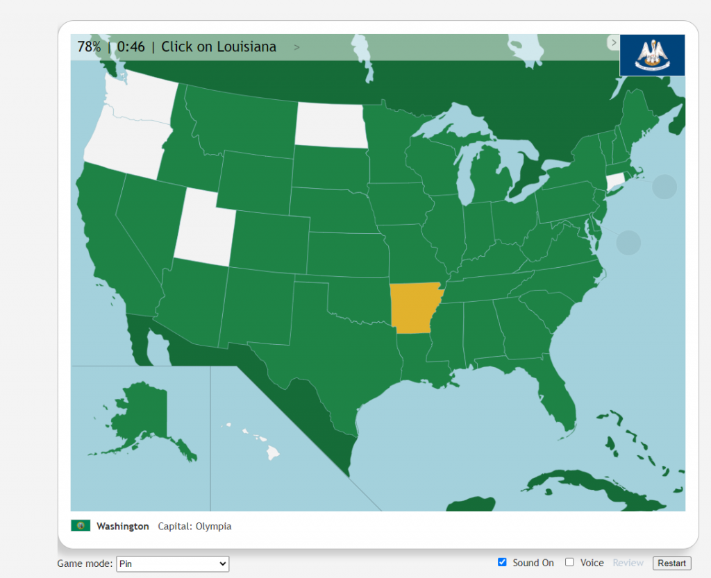
Test and Improve Your Geographic Knowledge with Geography Games:

Quizzityhttps://david-peter.de/quizzity/ – This quiz challenges you to locate six world cities with greater points for accuracy and speed.

Seterra Geography Gameshttps://www.seterra.com/#quizzes – Learn the location of countries worldwide by locating counties regionally and globally.

GIS Day @ ISU!!! Wednesday, November 17 2-4pm College of Design Main Lobby

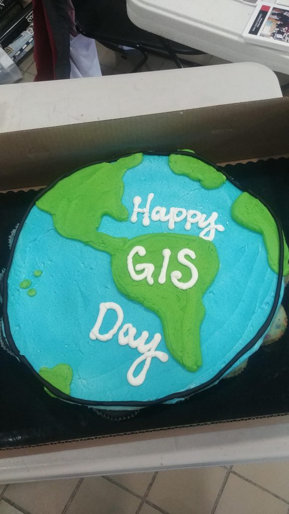
Join the ISU Geographic Information Systems Support and Research Facility to celebrate GIS Day! Enjoy themed cupcakes and poster and trading card giveaways, and learn more about the Geographic Information Science minor and GIS graduate certificate program.

The event will be from 2–4 p.m. Wednesday, Nov. 17, in the foyer inside the main entrance to the College of Design.

https://www.design.iastate.edu/event-listings/2021/11/gis-day-celebration/

Trek with National Geographic Explorer across the world

Paul Salopek’s 24,000 Mile Journey

To kick off Geography Awareness week, explore the amazing journey of geographer, Paul Salopek’s 24,000 mile journey across the globe. During his 10-year journey he documented the places and people he encounter every 100 miles. At each of these milestones, he documents the date, location, elevation, shows a picture of his feet and the sky at that location, and interviews the first person he meets asking them 3 questions: who are you, where do you come from, and where are you going?

Follow his journey through an amazing story map: https://www.nationalgeographic.org/projects/out-of-eden-walk/#section-0.

Join in the celebration of Geography Awareness Week 2021!

November 14-20, 2021

Geography Awareness Week is coming soon. We will be sharing information about GIS and geography related careers as well as activities and games to help you sharpen your geography and geospatial skills throughout the week. Check IowaView daily for a new topic.

The History of Geography Awareness Week:

The National Geographic Society created Geography Awareness Week over 25 years ago as a way to celebrate and raise awareness of geography both as a discipline and as a part of daily life. The National Geographic Society felt there was a dangerous deficiency in American education with limited exposure to geography too many young Americans are unable to make effective decisions, understand geo-spatial issues, or even recognize their impacts as global citizens.
— see more at the National Geographic Website

ISU Mapathon Greatest hits…show the highlights reel!

Over the past few years the ISU GIS Facility has hosted a number of mapathons. Most of our mapathons have a time set aside for mapping in Iowa and then a time where we focus on international projects.

It is amazing what even a small group of mappers can do to add to the OpenStreetMap basemap in a small town in Iowa. Below are three examples of demonstrating how a mapathon event can add to the OpenStreetMap.

Read More