On Wednesday, November 20, 2024, we had a great GIS Day celebration at The Catalyst in Parks Library from 9am to 12pm. It was a come-and-go event for everyone, from the GIS curious to the GIS user. The event included hearing from five speakers (speaker details below), information about GIS opportunities and programs on campus, free GIS swag, free food, and a map competition with prizes. Thank you to Parks Library Digital Scholarship staff for hosting us and providing their expertise.

We had five speakers sharing on different topics:
- CollectionBuilder for Historical GIS: an update on the ISU Historical Buildings Project – Erin Ridnour, Digital Scholarship Librarian, University Library
- Tillage Detectives: Determining Residue Cover via Satellite – Bryce Pape, Graduate Student and Brian Gelder, DEP and GISF Co-Lead
- Library Instruction with ArcGIS StoryMaps – Michael Cummings and Erin Ridnour, Digital Scholarship Librarians
- Using Past Slope Failures to Prepare for the Future: A Case Study across the State of North Dakota – Beena Ajmera, Assistant Professor, Department of Civil, Construction and Environmental Engineering
- Geospatial Modeling for Regional Trail Planning – Austin Dunn, Assistant Professor, Department of Landscape Architecture
Visit the ISU GIS Facility GIS Day website for more details about the speakers: https://www.gis.iastate.edu/gis-day-2024
The Iowa State Daily wrote a nice article about the event which you can read at: https://iowastatedaily.com/305503/news/gis-program-highlighted-with-annual-day-of-celebration/
The ISU GIS Facility also hosted the second annual Mapping Masterminds Map Competition. It was open to everyone, everywhere. There are two categories for submissions: 1) Maps and 2) StoryMaps.
Congratulations to the winners of our 2024 GIS Day Mapping Masterminds Competition – Atlas Chenxiao Guo and Trenton Major! Please check out the Mapping Masterminds Gallery and Competition Showcase website to view all the submissions from both the 2024 and 2023 mapping competitions.
- Winner of the Map Category – Mapping My Biking Journey with Distance of Distinct Traveled Paths
Created by Atlas Chenxiao Guo from University of Wisconsin-Madison
Map Description: This map shows all my biking tracks, including the majority in the US and few Chinese cities. All the circled track maps have the same scale. Each path is counted only once in the distance calculation. For more information Click Here!
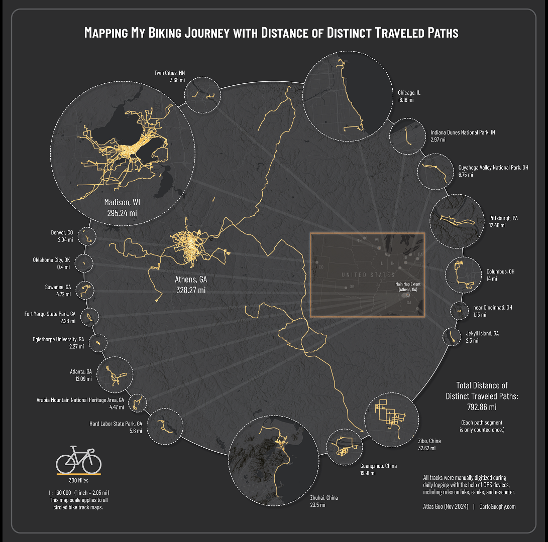
Software/Materials Used: ArcGIS Pro; Adobe Illustrator
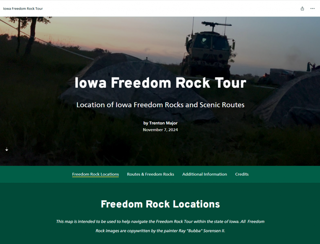
- Winner of the StoryMap Category – Iowa Freedom Rock Tour
Created by Trenton Major, College of Agriculture and Life Sciences – Iowa State University
StoryMap Description: This Story Map displays the locations of Iowa’s Freedom Rocks and scenic routes. It is designed to help users navigate the Freedom Rock Tour within the state of Iowa.
Software/Materials Used:ArcGIS Online, ArcGIS StoryMaps