Tag Archives: Mapathon

ISU Mapathon Greatest hits…show the highlights reel!

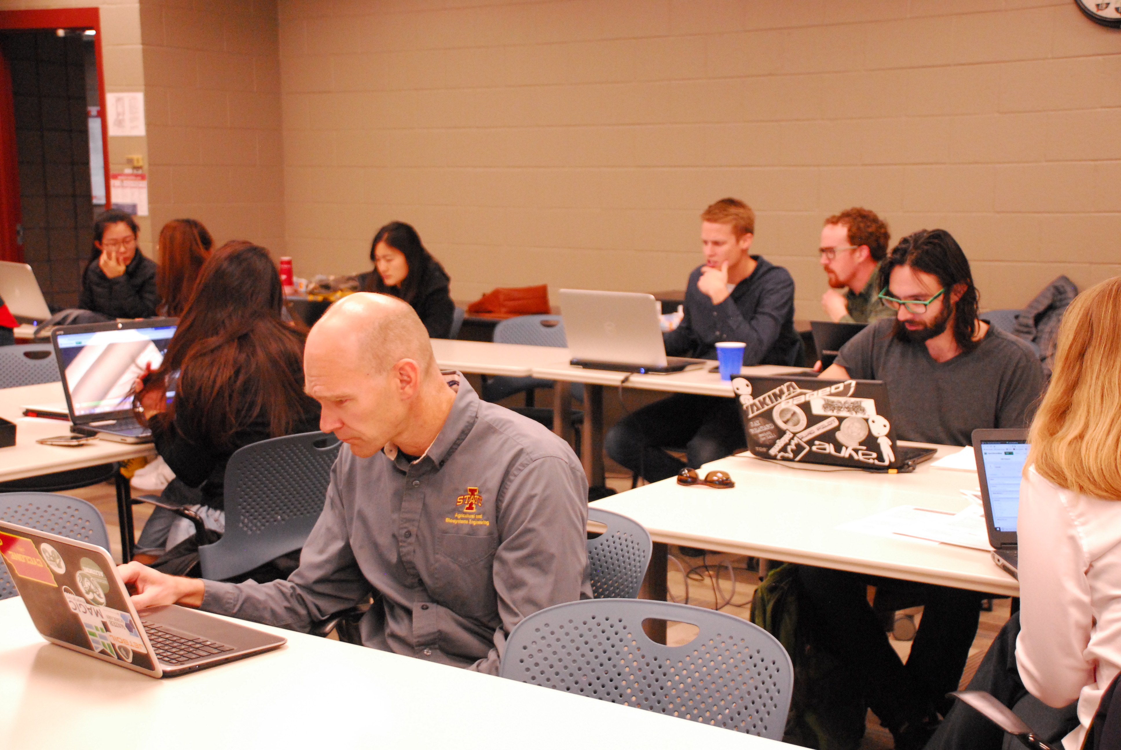
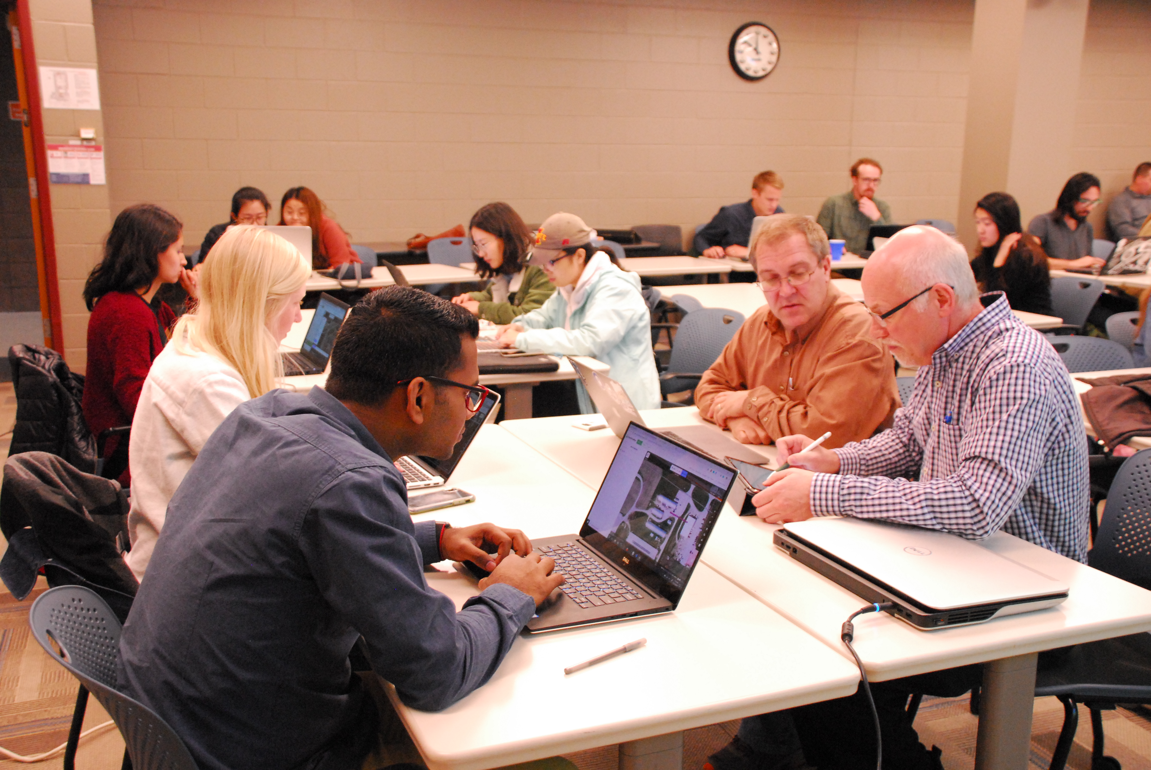
Over the past few years the ISU GIS Facility has hosted a number of mapathons. Most of our mapathons have a time set aside for mapping in Iowa and then a time where we focus on international projects.

It is amazing what even a small group of mappers can do to add to the OpenStreetMap basemap in a small town in Iowa. Below are three examples of demonstrating how a mapathon event can add to the OpenStreetMap.

Read More

Be part of the Global Celebration: Geography Awareness Week 2020!

Join us this week, November 15-21, 2020, as we celebrate Geography Awareness Week. Throughout we will be posting various activities and videos from our friends at OpenStreetMap, National Geographic, and Esri to help you get engage and get informed.

As a way to celebrate GIS Day and OpenStreetMap, we are encouraging everyone to go online either during this week or on GIS Day and contribute to the OpenStreetMap basemap. If you are interested and would like more information about how to get started, please email, Amy Logan.

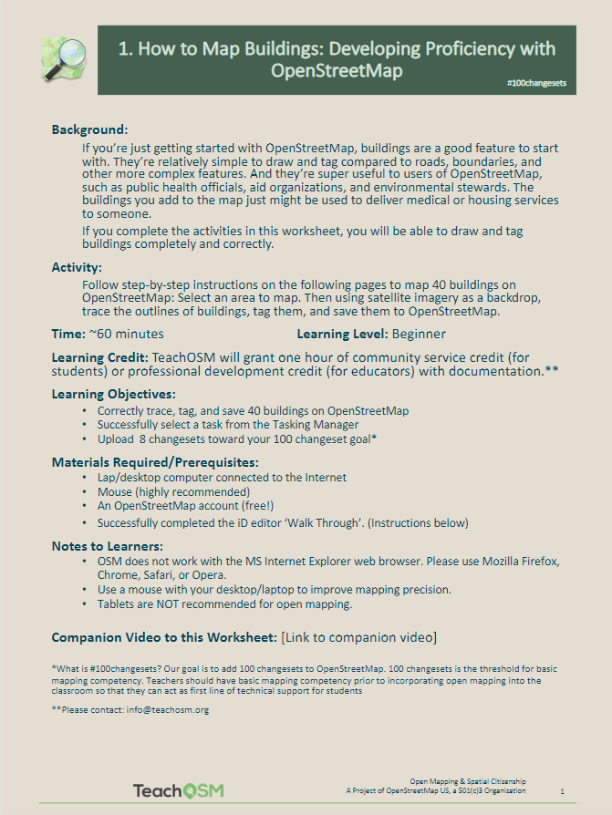
If this is your first time using OpenStreetMap, sign up for an OpenStreetMap account: https://www.openstreetmap.org/user/new. Then look over this helpful resource from TeachOSM about how to get started and build proficiency with OpenStreetMap: (https://ubique.americangeo.org/wp-content/uploads/2019/09/2_buildings_worksheet_1-2.pdf)

#OSMgeoweek

The OpenStreetMap (OSM) community is also celebrating this week as OSM Geography Awareness Week (#osmgeoweek.) It is a time for teachers, students, community groups, and map lovers, in the US and around the world to join together to celebrate geography and make maps with OpenStreetMap, the free and openly editable map of the world.

Over 132 groups around the world are hosting mapathons to gather people to add to the OSM basemaps. While we aren’t hosting an official event in Ames this week, we do encourage you to get mapping. In a previous post, we suggested ways to connect with the OpenStreetMap community, click here to check that out.

Another way you can do to improve the OSM basemap is to log in and navigate to your local community. Add new developments, new roads, public buildings, parks, and points of interest. It’s always good to make sure your community’s data is fresh and correct.

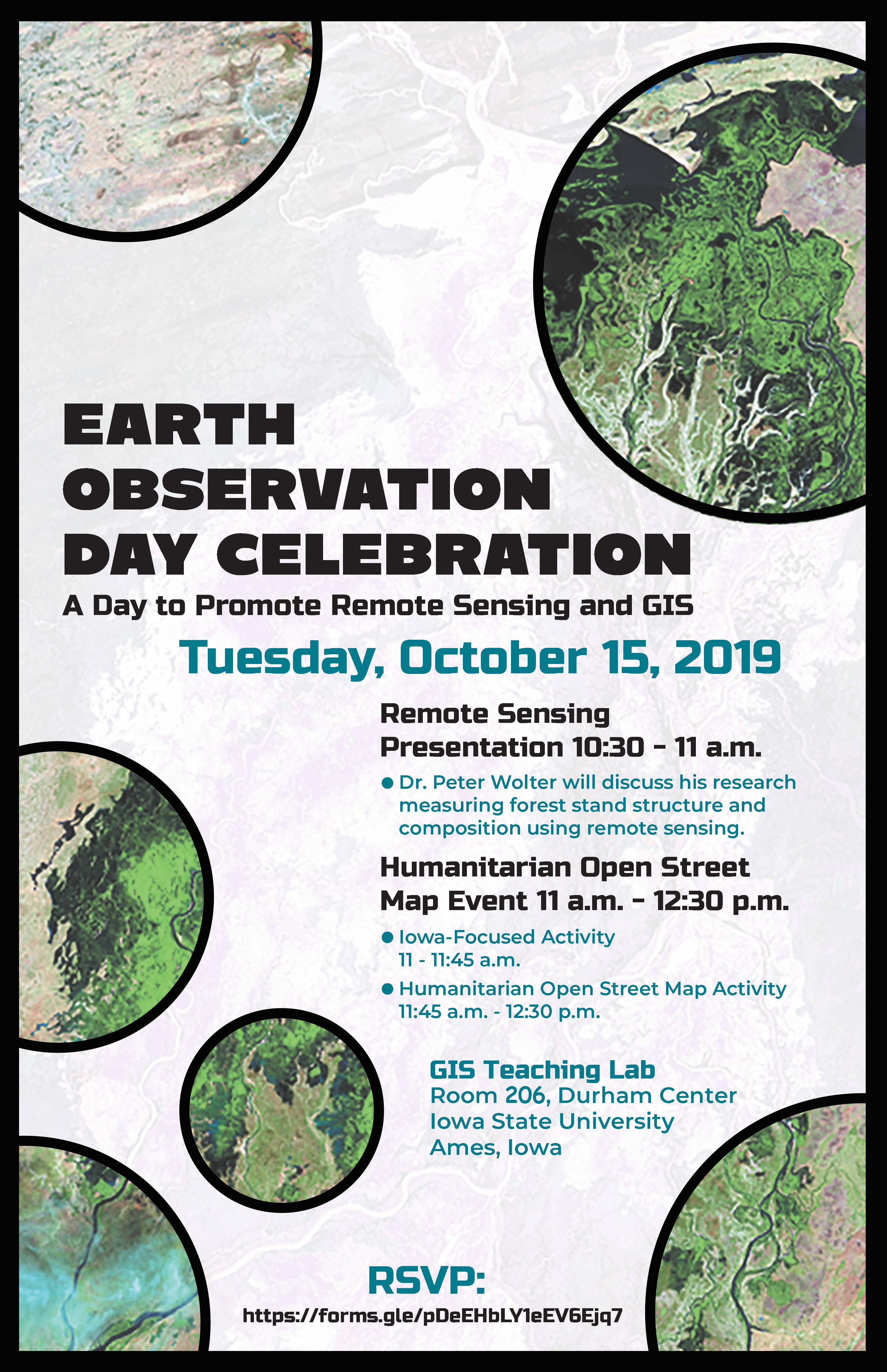
Coming Soon: Earth Observation Day – Tuesday October 15, 2019

When: Tuesday, October 15, 2019
Where: GIS Teaching Lab, Room 248, Durham Center, Iowa State University, Ames, Iowa

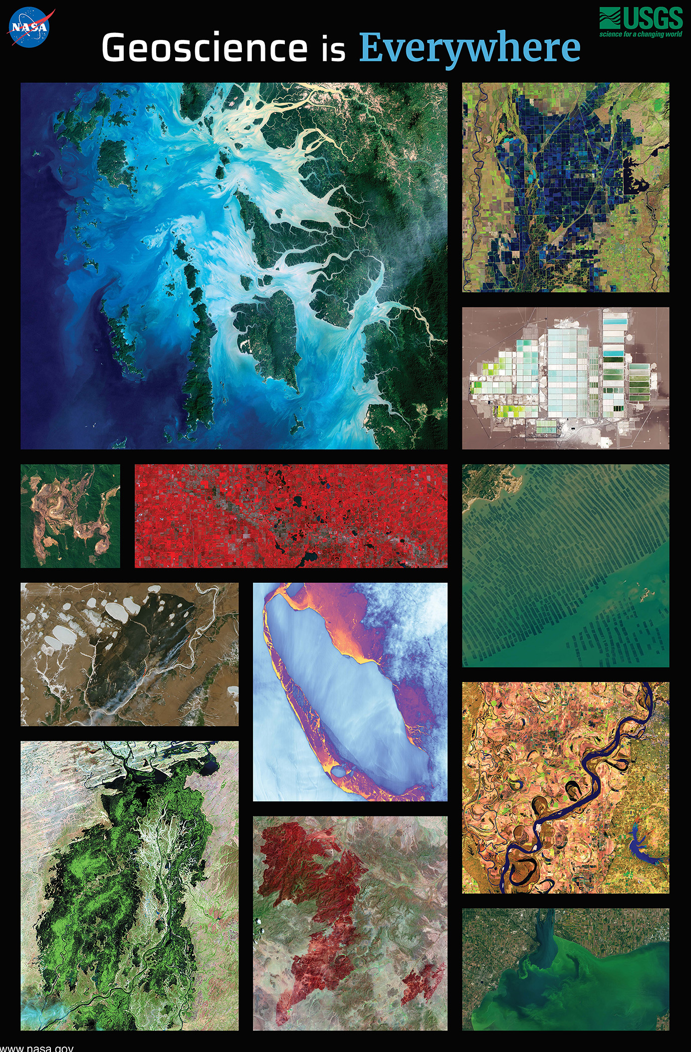
This year the ISU GIS Facility in collaboration with IowaView will be celebrating Earth Observation Day. This year the theme is “Geoscience is Everywhere.” We have a great day planned.

To start out our day at 10:30am, Professor Peter Wolter will share how he is using remote sensing to measure forest structure and composition. Then we will have a Humanitarian Open Street Map Event 11am-12:30pm. No experience is needed. First, we will have an Iowa-Focused activity 11:00am-11:45am and then we will focus our efforts on an international Humanitarian OpenStreetMap activity from 11:45am-12:30pm. We will also have pizza and you are encouraged to try our new puzzles.

REGISTER NOW: https://forms.gle/pDeEHbLY1eEV6Ejq7Ejq7

Earth Observation Day – Thursday, October 12, 2017

This year for Earth Observation Day we had a mini mapathon and a speaker.  Our mapathon efforts focused on a project  in Puerto Rico that was mapping features as part of the Hurricane Maria recovery efforts.  Then Daryl Herzmann presented about the Iowa Environmental Mesonet (IEM), a storehouse and distribution center for weather, satellite, and transportation data for the US. Daryl gave a brief history of IEM along with highlighting many of its uses. Click here to view Daryl’s powerpoint.