It is Geography Awareness Week 2025 – Tuesday
It is Day 2 of Geography Awareness Week 2025. Today, we recommend you check out…

It is Day 2 of Geography Awareness Week 2025. Today, we recommend you check out…

Digital Scholarship and Initiatives, the ISU GIS Facility, and IowaView invite you to join us…
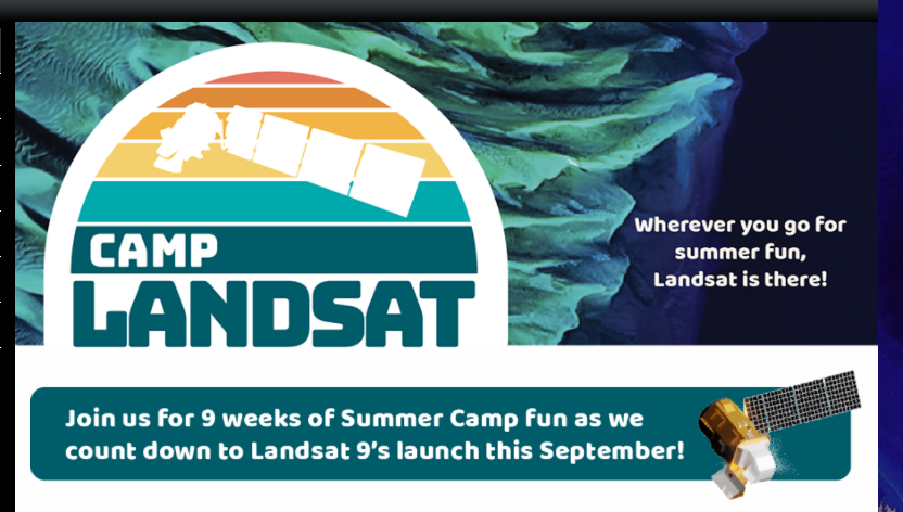
Camp Landsat provides many activities for kids and adults to enjoy and understand Landsat satellite…

Spatial Signals is a podcast about remote sensing, GIS, and geospatial technologies - but more…

In today’s lesson, we are examining water use and water quality. Satellite imagery helps scientists…

As we continue moving through the series of lessons of the 2024 Earth Observation Day…

The piece asks viewers to reflect: when we are planning, do we consider only typical…
Earth Observation Day 2024 is finally here as it the release of the AmericaView 2024…
Happy Earth Month! This month is full of lots of exciting and engaging events for…
Happy World Water Day! Enjoy this water themed poster “Water Today and for the Future”…