Tag Archives: AmericaView

World Water Day 2023 – How are you using your resource?

Water: A Global Resource is an ArcGIS StoryMap, developed by Mary Schorse and Tracy DeLiberty (DelawareView), designed to give you background on what we mean by 'water resources.'
A StoryMap developed by Mary Schorse and Tracy DeLiberty (DelawareView)

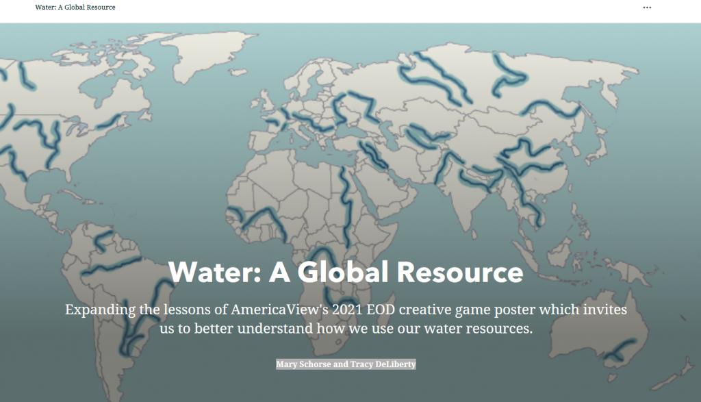
Have you ever thought about how much water it takes to make a pair of jeans? To produce a pound of corn? Or to make a car? What if you had a limited amount of water and had to decide how to “spend” your precious resource? Water: A Global Resource is an ArcGIS StoryMap, developed by Mary Schorse and Tracy DeLiberty (DelawareView), is designed to give you background on what we mean by ‘water resources.’ The lessons are also designed to stimulate your thinking about how we use, protect and monitor this precious, limited natural resource.
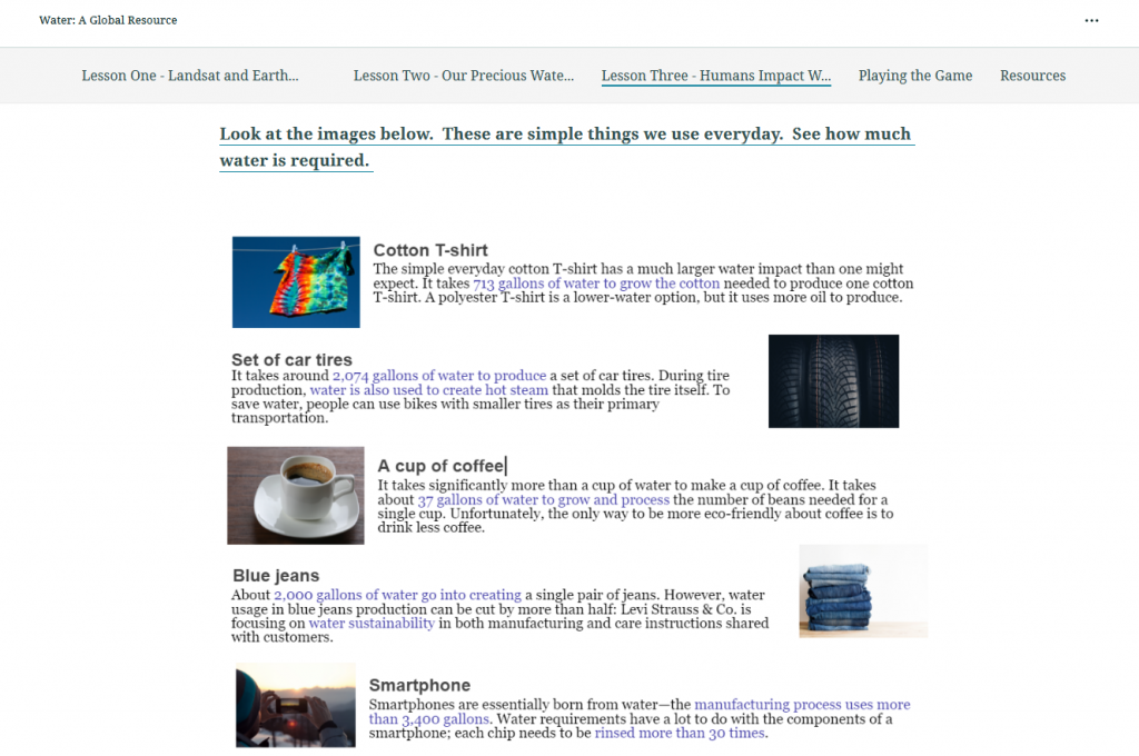
Water: A Global Resource is an ArcGIS StoryMap, developed by Mary Schorse and Tracy DeLiberty (DelawareView), designed to give you background on what we mean by 'water resources.'
Screen shot from the Water: A Global Resource StoryMap

Resource Links:

Schorse, M. and T. DeLiberty. 2022. Water: A Global Resource StoryMap (Middle School Lessons) – https://storymaps.arcgis.com/stories/af7e043b7a104858a300c08ed2ead7c7

Schorse, M. and T. DeLiberty. 2022. Water: Today and for the Future StoryMap (Elementary Lessons) – https://storymaps.arcgis.com/stories/5940fb947ae54b06ac7a184ab42b7dbd

A Calendar Full of Exciting, Engaging April Events

Happy Earth Month! This month is full of lots of exciting and engaging events for you to participate in. Here are some coming up soon:

What: VIRTUAL EVENT: ASPRS GeoBytes Webinar: A History of the Landsat Program presented by Ellie Leydsman McGinty This is going to be a fantastic opportunity to learn about some of the stories behind how the Landsat program became what it is today and some of the people that made it happen. 
When: 4/8/22 @ 12pm-1pm (Eastern)
Registration (free): https://my.asprs.org/ASPRSMember/Events/Event_Display.aspx?EventKey=GB20220408&WebsiteKey=9126ee3f-e9e1-43bd-a00c-0cfa63182579

What: VIRTUAL AND IN-PERSON EVENT Virginia Tech Office of GIS and Remote Sensing Research Symposium
We have an exceptional panel of speakers on hand this year representing Duke University, NASA (Emerita), and Virginia Tech.  Another highlight of the Symposium, is the student poster session  & web map app showcase with over 35 undergraduate and graduate student posters on full display! 
When: 4/8/22 @ 12pm-3:30pm (Eastern)
Registration (free): https://virginiatech.zoom.us/webinar/register/WN_n0l1pRCTTSWgDeP7Jwx47Q

What: VIRTUAL AND IN-PERSON EVENT Iowa Technology and Education Connection (ITEC) Conference
ITEC is hosting the annual conference on April 13-14. Join fellow Iowa educators at the state’s premier Tech Ed event! IowaView staff will be presenting on April 14 at 1:15 -2:05pm – Spreading the Mapping Bug: Sharing Geospatial Resources, Ready-to-Go Curriculum, and Mapping Activities for Teachers to Use Tomorrow and Integrate into Their Lessons. Great for student engagement. Many of these materials align with core standards and resources include interactive maps and apps available immediately.
When: 4/14/22 @ 1:15-2:05pm
Registration: https://www.itec-ia.org/conference-registration-details/

What: VIRTUAL EVENT GeoTech Center – Earth Observation Day

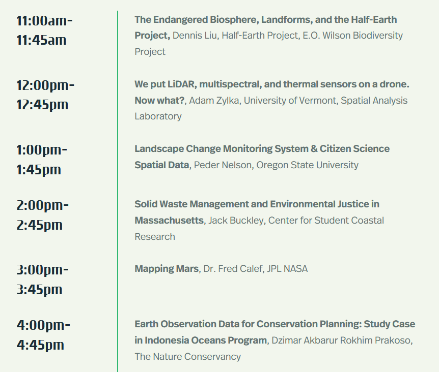
When: 4/20/22 @ 11am-4:45pm (Eastern)
Registration (free): https://storymaps.arcgis.com/stories/02d5fc3ded704f958fb1aa96d9e125bf

For even more events check out the IowaView Jobs and Other Opportunities Page.

Are you up for a challenge?

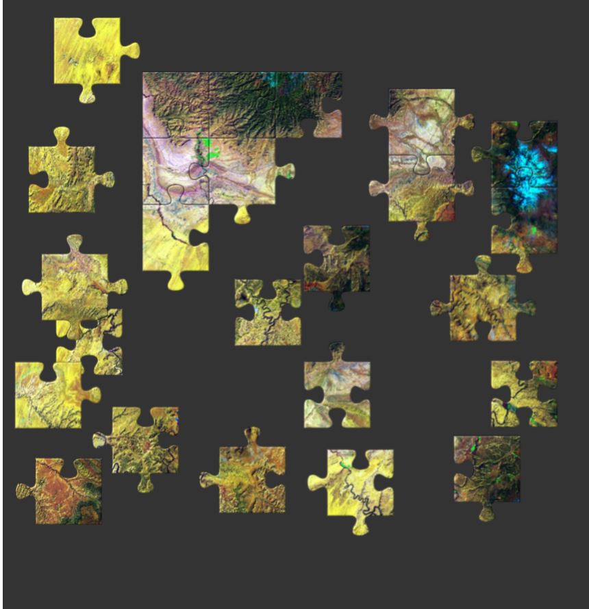
AmericaView has a series of over 70 Earth image puzzles to encourage people of all ages to engage with satellite imagery and learn more about remote sensing by offering a fun challenge. The puzzles can be made to match ability or time available by choosing the number of pieces from 12 to 110 pieces. There are also options that allow the pieces to be shuffled or the border to be completed.

Any way you choose, check out these puzzles.

Canyonland – 25 piece puzzle

Google Earth Engine Tutorials

Google Earth Engine is a platform for exploring and analyzing satellite imagery. It is available for academic, non-profit, business and government users.

Several members of the AmericaView community have created tutorials to provide a foundation to quickly begin learning and using Google Earth Engine (GEE). If you are new to GEE, you will want to start with this Google Earth Outreach tutorial. You may need to sign-up for a GEE account with an existing Gmail email address.

For a list of additional tutorials visit the AmericaView GEE Tutorial page: https://americaview-old.ssec.wisc.edu/program-areas/education/google-earth-engine-tutorials/.

Save the date: Earth as Art Exhibit – February 2017


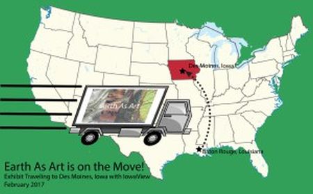
LouisianaView is loaning us their Earth as Art art exhibit for the month of February.  We are working to create a fun and educational art exhibit for all.  You will not want to miss this exciting event.  For a preview, visit Earth as Art online: http://eros.usgs.gov/imagegallery/earth-art-4.

earth-as-art-laview2


IowaView Phenocams are online!

phenocam_picture

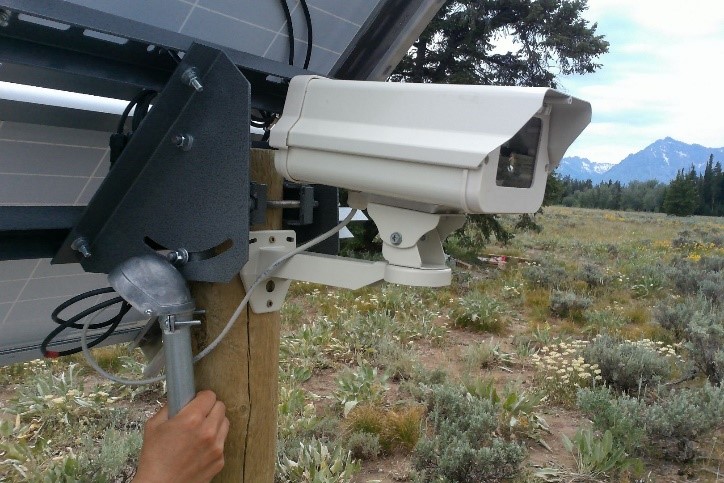
IowaView Phenocam – Grand Tetons, WY

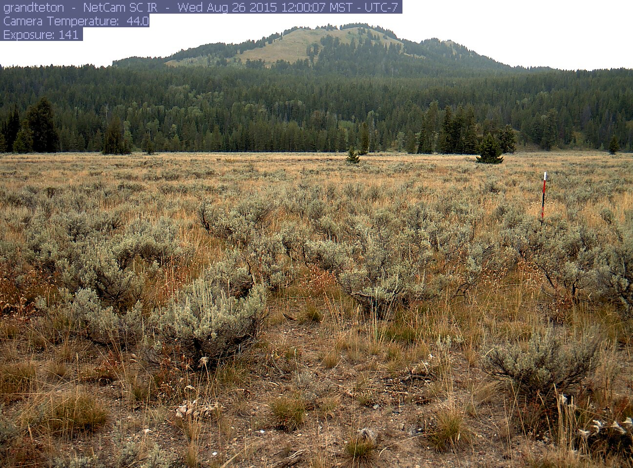
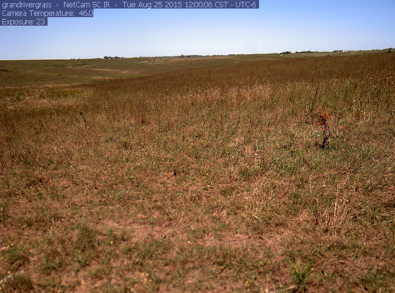
A phenocam is a digital camera that takes pictures at set intervals as a way to track the change in vegetation and climatic conditions throughout the year at a given location. The phenocam provides fixed scene, time-lapse images over the course of a year, which can then be analyzed for a variety of scientific uses, including seasonal changes such as spring “green-up” or fall “leaf-off.”

WYphenocam Crew

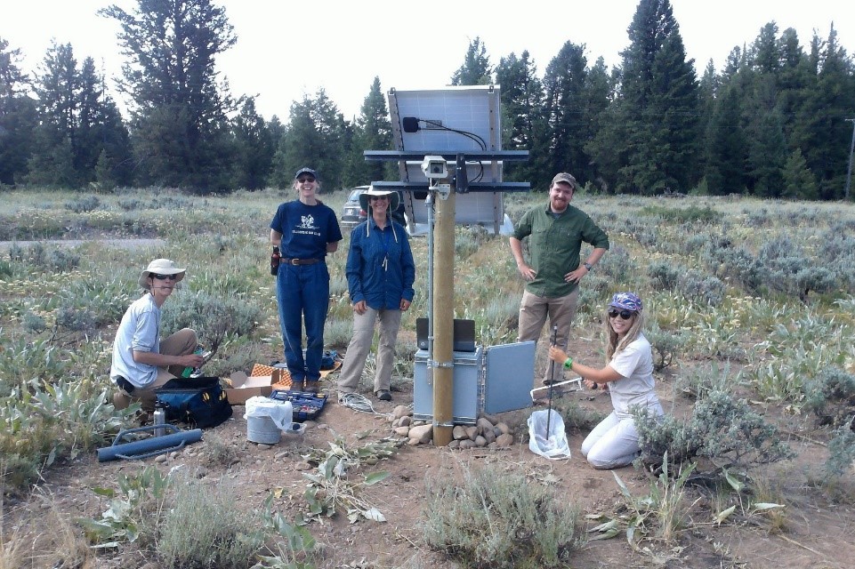
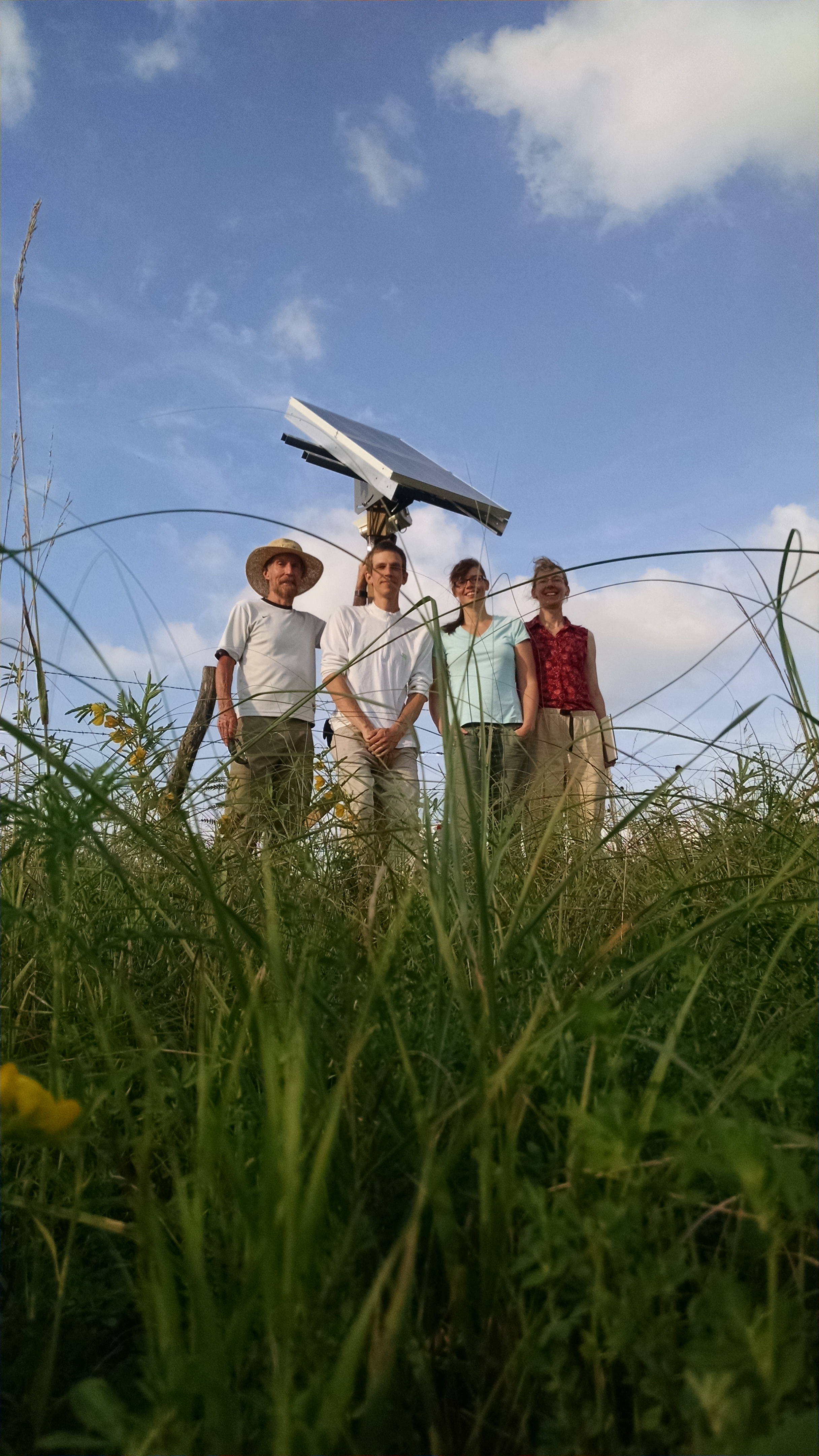
Team members installing the IowaView Phenocam in Wyoming

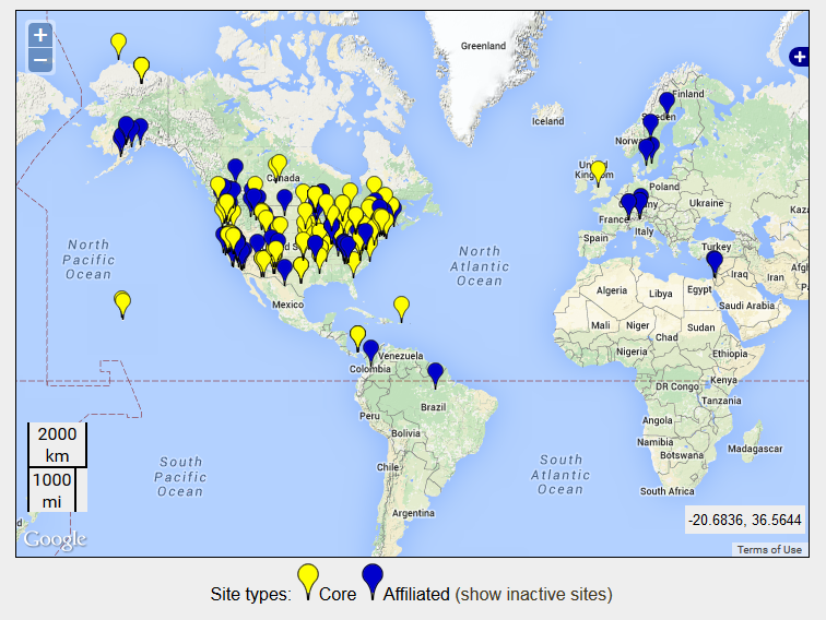
IowaView has partnered with Dr. Diane Debinski and the Debinski Lab (Iowa State University – Ecology, Evolution, and Organismal Biology) to install two phenocams at their research areas in Iowa – Grand River Grassland and Wyoming – Grand Teton. The IowaView phenocams are part of a larger phenocam network across the USA and world.

Phenocam_Sites

Locations of Phenocams Sites

grandteton

Picture taken by IowaView Phenocam – Grand Tetons in Wyoming

grandrivergrass_2015_08_25_120006

Picture taken by IowaView Phenocam – Grand River Grasslands in Iowa

In the coming weeks, we will provides links for educational opportunities that provide instructions on using the phenocam data in the classroom.

Thanks to the Debinski Lab for their work getting our phenocams running!  Great work!

GRG Phenocam Team

Phenocam Installation Crew in Iowa