Tag Archives: OSM

Be part of the Global Celebration: Geography Awareness Week 2020!

Join us this week, November 15-21, 2020, as we celebrate Geography Awareness Week. Throughout we will be posting various activities and videos from our friends at OpenStreetMap, National Geographic, and Esri to help you get engage and get informed.

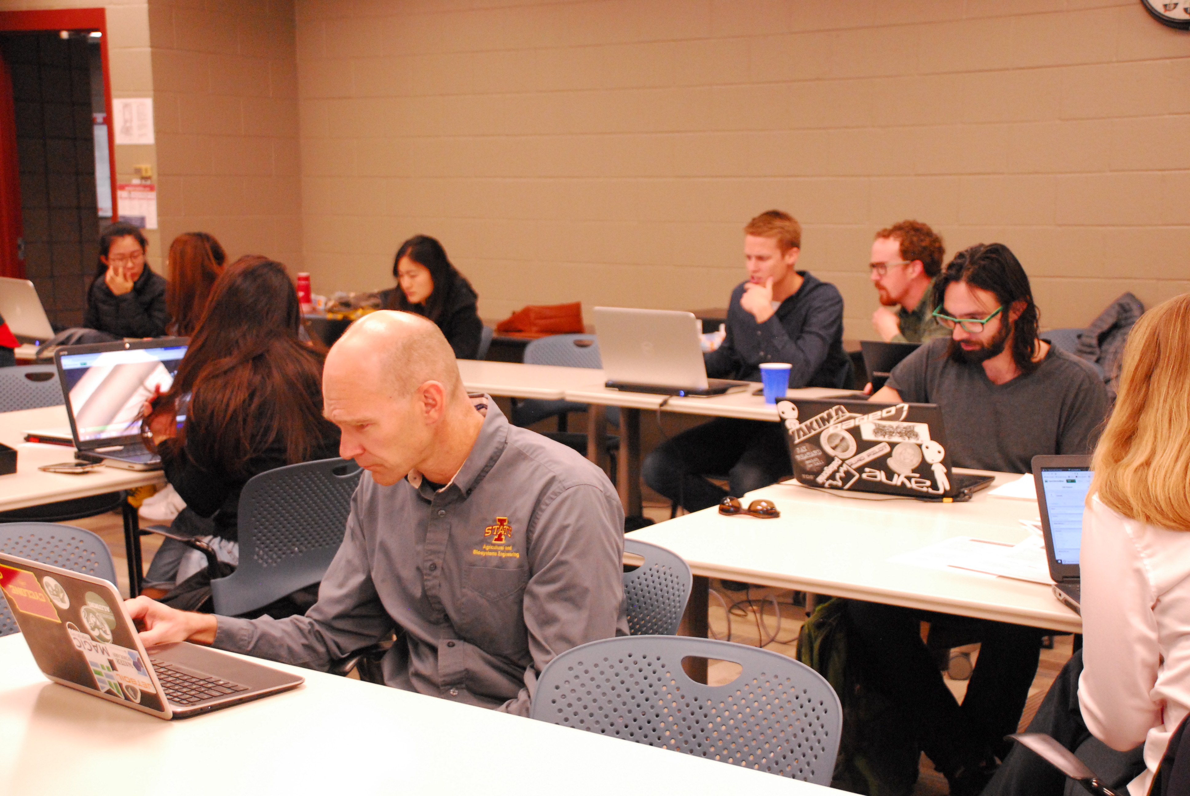
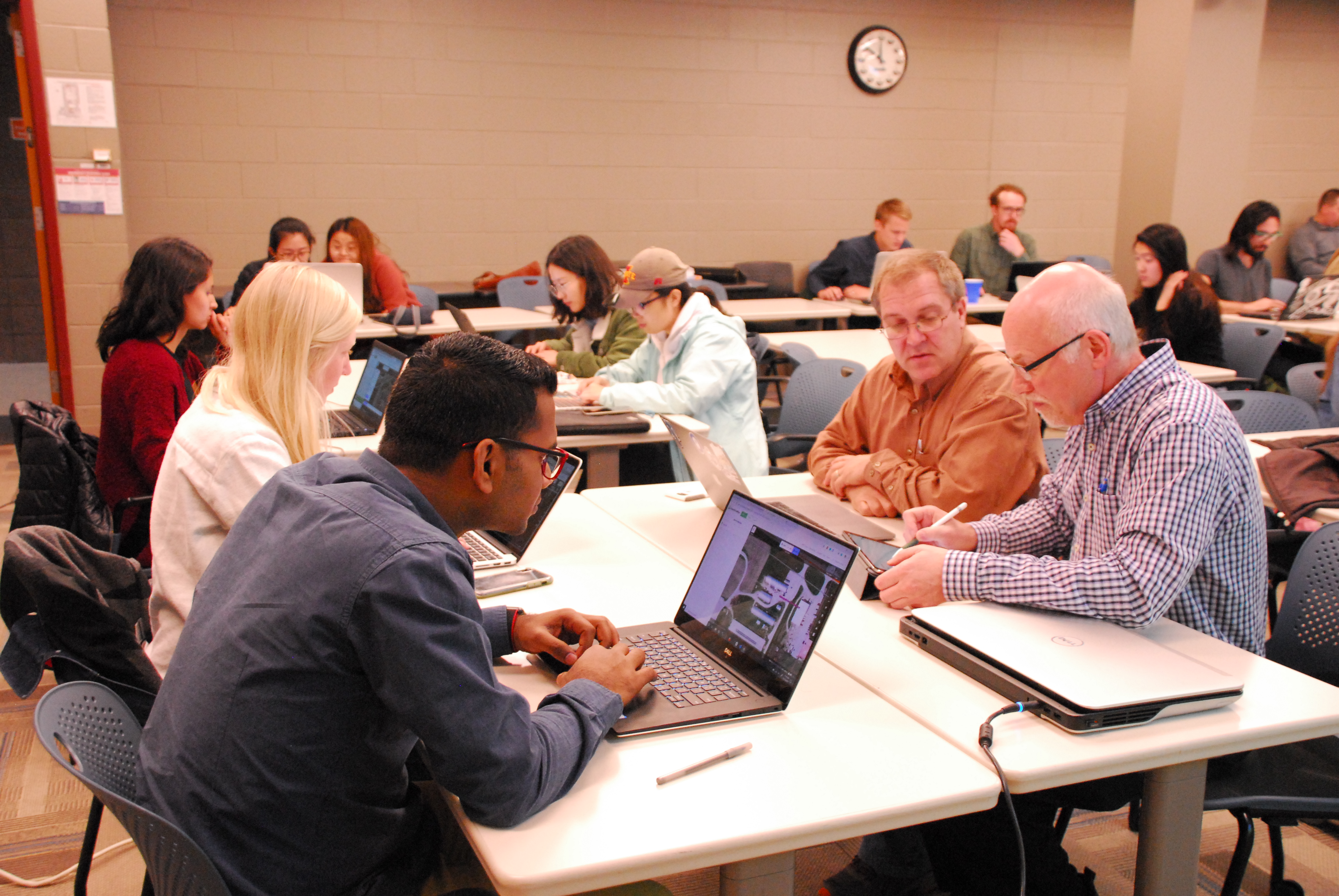
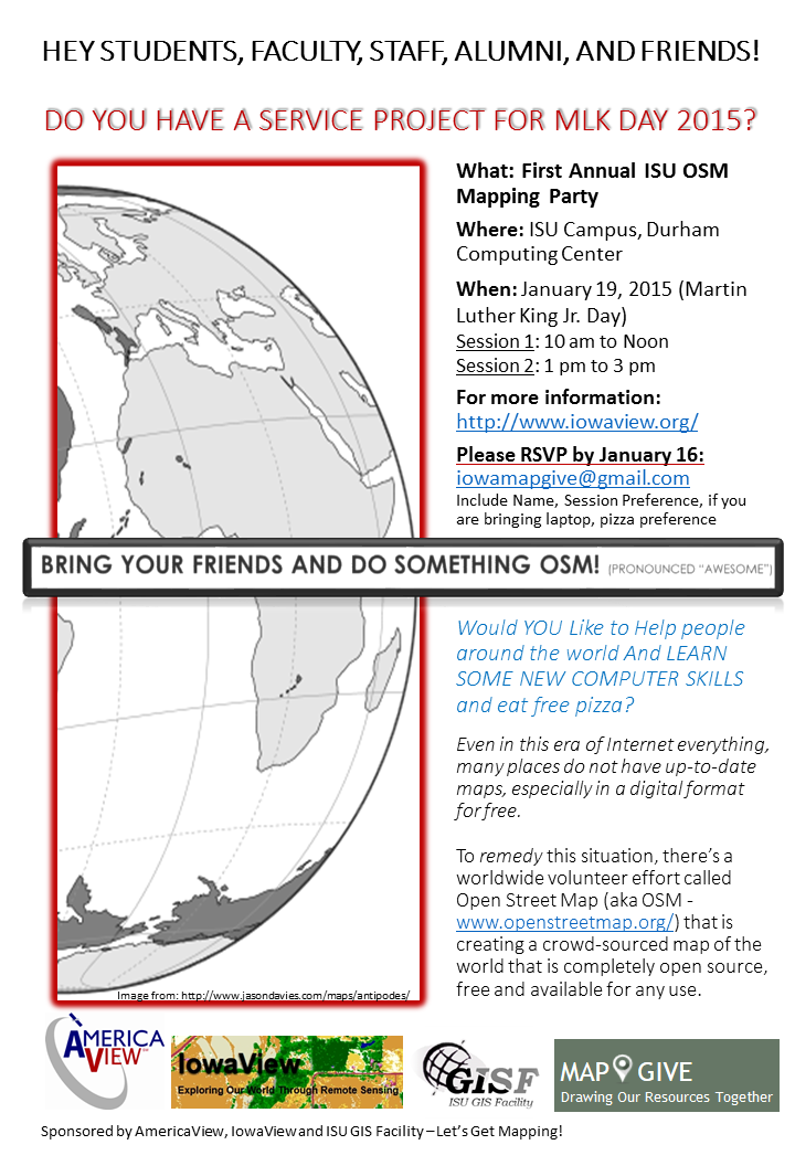
As a way to celebrate GIS Day and OpenStreetMap, we are encouraging everyone to go online either during this week or on GIS Day and contribute to the OpenStreetMap basemap. If you are interested and would like more information about how to get started, please email, Amy Logan.

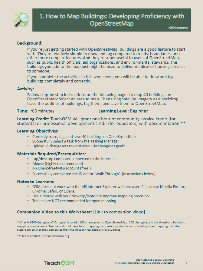
If this is your first time using OpenStreetMap, sign up for an OpenStreetMap account: https://www.openstreetmap.org/user/new. Then look over this helpful resource from TeachOSM about how to get started and build proficiency with OpenStreetMap: (https://ubique.americangeo.org/wp-content/uploads/2019/09/2_buildings_worksheet_1-2.pdf)

Missing your Mapping Peeps?

Join the OpenStreetMap US Virtual Mappy Hour. Members of the OpenStreetMap (OSM) Community present short, informational talks related to OSM and other mapping related topics. Here are links to some the past and upcoming Mappy Hour topics.

Up-to-date Events Schedule: https://wiki.openstreetmap.org/wiki/Foundation/Local_Chapters/United_States/Virtual_Mappy_Hours (To attend in real-time you will need to register on the form)

Upcoming Events
Wednesday, May 13, 2020 8:30pm ET – Imports with Margaret Spyker

Wednesday, May 27, 2020 8:30pm ET – Topic to be determined

Friday, June 5, 2020 6:30 -8:30pm ET – NY Mapathon Part 1: Mapping houses in the town of Hempstead, NY

Tuesday, June 9, 2020 8:30pm ET – Brian DeRocher, Microcosm

Wednesday, June 25, 2020 – Topic to be determined

Past Events
Thursday, April 30, 2020, Mapathon w/ MaptimeBmore – (watch) Mapping POIs in response to COVID-19 (BNIA Part-1), Mapping POIs with COVID tagging (Part-2)

Wednesday, April 29, 2020, Steven Johnson, TeachOSM. (watch) Discussion around OpenStreetMap in education.

Wednesday, April 15, 2020, Erika Nunez, MapGive: U.S. Department of State’s public diplomacy initiative for open mapping

Thursday, April 9, 2020, Miles Campbell – (watch) OSM and Accessibility: In times of crisis, publicly available information for pedestrian access, especially for those with disabilities, can be invaluable

Wednesday, April 8, 2020 8pm ET, Virtual Validation Mappy Hour hosted by Missing Maps.

Wednesday, April 1, 2020 8:30pm ET / 5:30pm PT Maggie Cawley & Jennings Anderson, OpenStreetMap US Community Survey Results