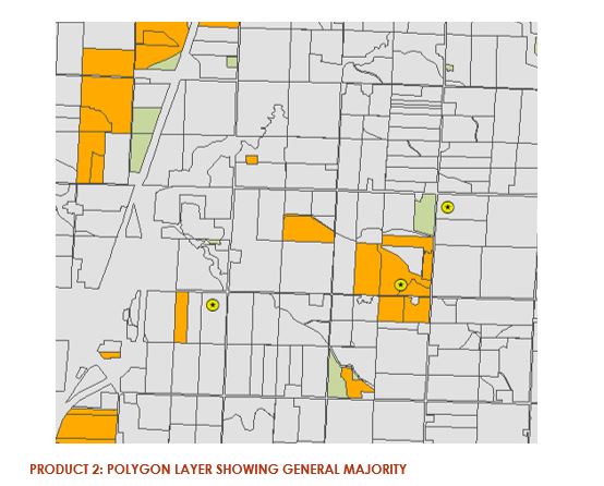
IowaView staff have released the Cover Crop ID Toolbox and Handbook. This toolbox allows users to quickly identify possible cover crop fields using three Sentinel-2 images from the fall, early spring, and late spring downloaded from the Earth Explorer website based on field boundaries supplied by the user. On the project webpage you can download the toolbox which works with both ArcMap or ArcGIS Pro as well as the Cover Crop ID Toolbox Handbook that provides additional details about each step of the tool.