Tag Archives: gis

AmericaView Educational Resources – College-Level

AmericaView College-Level Remote Sensing Resources

GeorgeView – AmericaView University
Website: http://gaview.org/moodle30f/

IowaView – GIS and Mapping Task Sheets
Website: https://www.extension.iastate.edu/communities/gis/quicktasksheets

MinnesotaView – Remote Sensing 101
Website: https://minnesotaview.rs.umn.edu/education

MontanaView – Python and R
Website: http://www.montana.edu/montanaview/

NewHampshireView – Remote Sensing Webinars
Website: http://www.nhview.unh.edu/educations_webinars.html

VirginiaView – Remote Sensing Tutorials
Website: https://www.virginiaview.cnre.vt.edu/education.html

WestVirginiaView – Intro to GIS and R Courses
Website: http://www.wvview.org/course_directory.html

VermontView – Youtube Videos – Intro to GIS and Remote Sensing
Website: https://www.youtube.com/user/joneildunne/videos

AmericaView – Google Earth Engine Tutorials
Website: https://americaview.org/program-areas/education/google-earth-engine-tutorials/

AmericaView – Educational Resource Portal
Website: https://americaview.org/program-areas/education/resources/

A Great Week for Geography and GIS

This is another important week for geography and GIS.

November 11-16, 2019 is Geography Awareness Week. It was started over 25 years ago by National Geographic society as a way to raise awareness about the dangerous dificiency of geography in American education and to excite people about geography as a discipline and as part of everyday life. Learn more about Geography Awareness Week from the National Geographic website.

GIS – Your Passport to Adventure

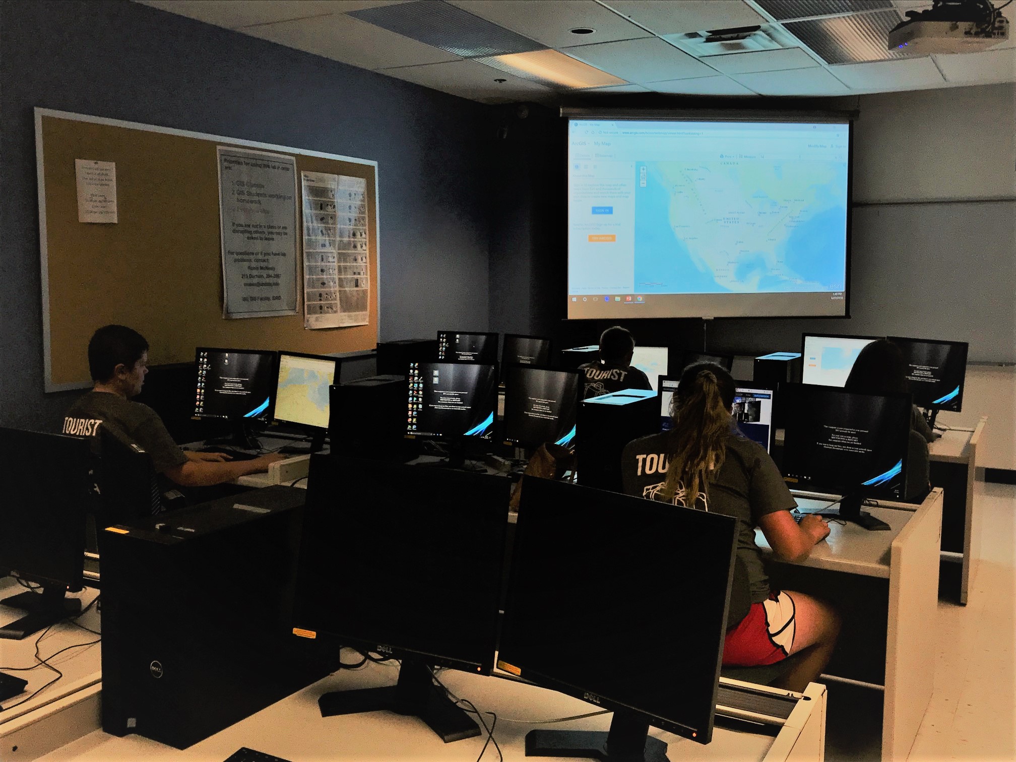
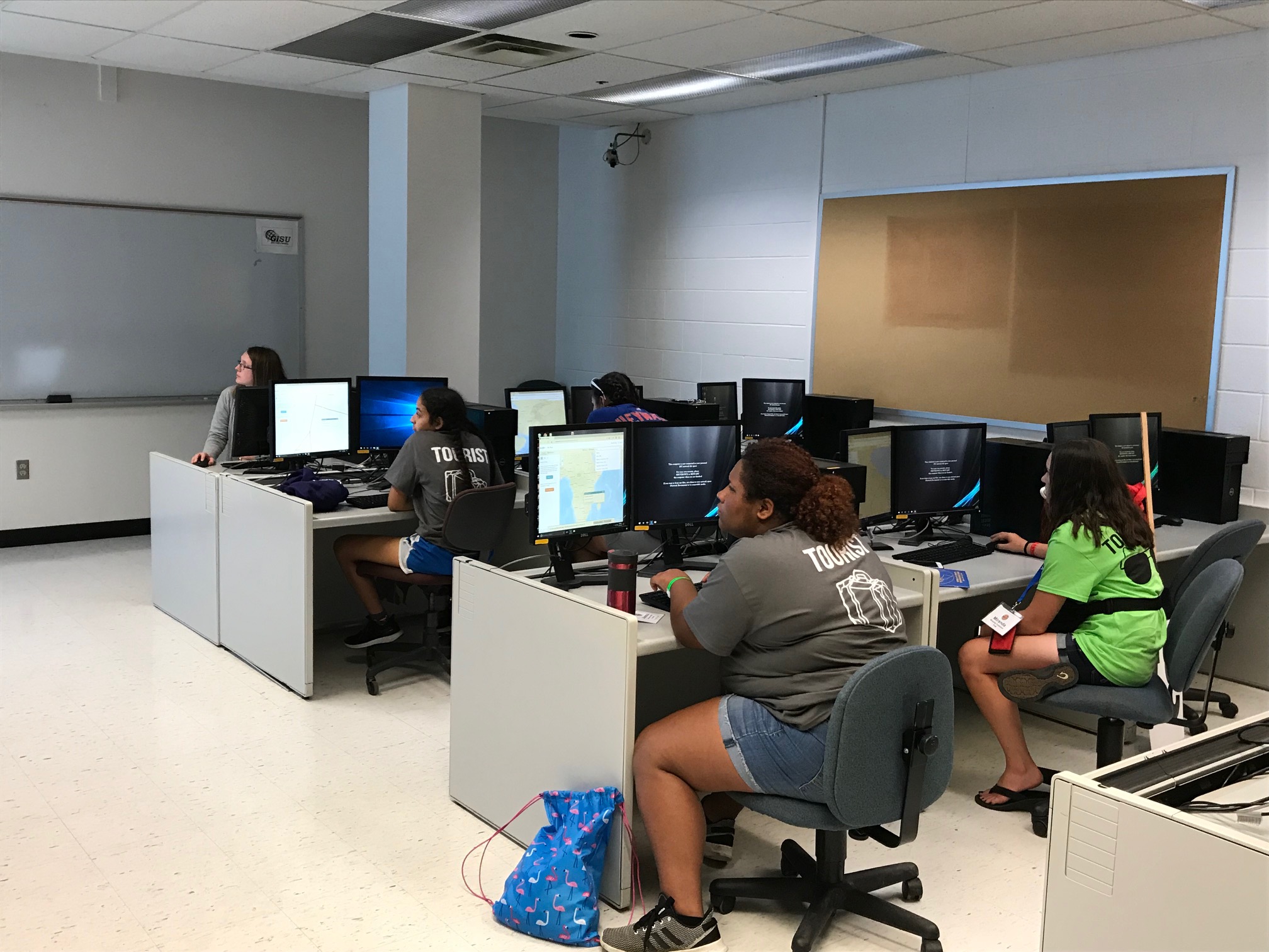
Students using ArcGIS Online

On June 27, 2018, IowaView hosted another workshop as part of the state 4-H conference. This workshop provided 4-Hers with an introduction to world of GIS. Students experienced using ArcGIS Online (an online mapping tool) to explore European migration. Next they used ArcGIS Pro to work in groups to design a neighborhood park. Finally, the 4-Hers looked at several examples of Story Maps (seen below).

Basic Story Map – Olympic Games – http://www.arcgis.com/apps/StoryMapBasic/index.html?appid=efc82690d8f649019caa8e2fe1b49382
One World, Many Voices: Endangered Languages – http://storymaps.esri.com/stories/2013/endangered-languages/
The World in 1812 and 2013 (Spyglass) – http://story.maps.arcgis.com/apps/StorytellingSwipe/index.html?appid=b8ece5952db443858442f122984602ba&webmap=8ea34ba9a4f843e08a468595d8d91188#

Teachers, start your mapping! Free online GIS in the classroom from Esri and ConnectEd

Title: Teachers, start your mapping! Free online GIS in the classroom from Esri and ConnectEd
Date: August 19th, 2014
Time: 10am to 11am
Description: Online GIS is a powerful, relatively easy way to get kids thinking spatially and involved in applied, inquiry-based projects.  Come to learn more about this wonderful opportunity and bring your ideas and questions about how the use of online GIS can be used to help engage you kids.

For more information and to pre-register: https://learn.extension.org/events/1678