Tag Archives: IGIC Lunch & Learn

New Data Products from the ISU GIS Facility: 24K Topo Maps 1949-1986


The ISU GIS Facility Manager, Robin McNeely, recently gave a presentation for the Iowa Geographic Information Council Lunch and Learn series about new data products that the GIS Facility has been producing. Here is a link to watch Robin’s presentation, which begins around (29:20): https://iastate.webex.com/iastate/ldr.php?RCID=64ed815f6c8eaa323fa5c88cc36d7d60.

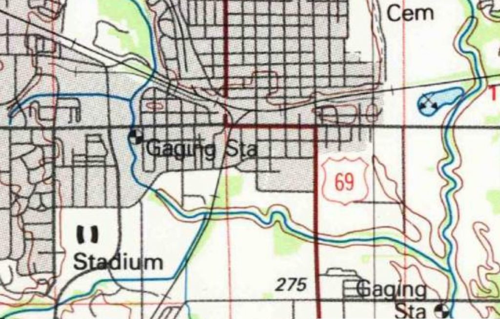
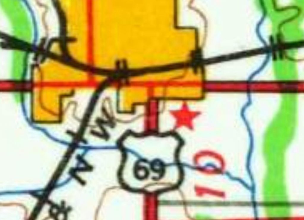
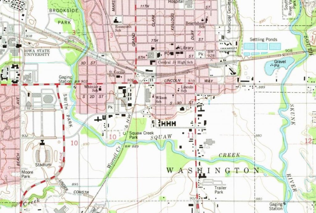
She highlighted the completion of the Historic United States Geological Survey (USGS) 24,000 Topographic Map series ArcGIS service. The 24k historic topo maps were downloaded from the USGS TopoViewer as georeferenced .tif files, inventoried and put into an ArcGIS mosaic dataset. The dates for those maps for Iowa are 1949-1986. They are currently in a published map service on ortho.gis.iastate.edu and as a layer in the Iowa Geographic Map Server (see map below.)

Discover your local geographic Information Council and other groups

The Iowa Geographic Information Council (IGIC) is an organization of geospatial professional across the of Iowa. It provides geospatial support allowing individuals to ask questions and provides opportunities to collaborate as well as network. IGIC is governed by a 25 member board which represent 9 different sectors. There are quarterly meetings as well as a yearly conference (Iowa Technology and Geospatial Conference) and other opportunities to connect with geospatially minded people.

IGIC hosts monthly virtual Lunch and Learn events. These have been very successful for IGIC especially as members are widely distributed across the state.  Each session is recorded and available on the IGIC website.

You are invited to join this month’s “GIS Day” Lunch and Learn: Mulitpurpose Use of Street Level Imagery with Bill Wetzel, Cyclomedia Technology @ 12pm – Wednesday November 17, 2021. He will discuss how local governments and utilities rely on technology initiatives that optimize management of properties, assets, and infrastructure. For more information: https://www.iowagic.org/igic-lunch-learn-street-level-imagery/ .