Category Archives: Activity

Join in the celebration of Geography Awareness Week 2021!

November 14-20, 2021

Geography Awareness Week is coming soon. We will be sharing information about GIS and geography related careers as well as activities and games to help you sharpen your geography and geospatial skills throughout the week. Check IowaView daily for a new topic.

The History of Geography Awareness Week:

The National Geographic Society created Geography Awareness Week over 25 years ago as a way to celebrate and raise awareness of geography both as a discipline and as a part of daily life. The National Geographic Society felt there was a dangerous deficiency in American education with limited exposure to geography too many young Americans are unable to make effective decisions, understand geo-spatial issues, or even recognize their impacts as global citizens.
— see more at the National Geographic Website

Return to School with Just the Right Digital Map Tool! – September 28

Hey Educators! Directions Magazine and the Esri Education Team are teaming up to provide a webinar to help you find the best digital map tools for your classroom!

When: Tuesday, September 28, 2021 @ 7pm (Central)

Register Here: https://www.directionsmag.com/webinar/10996

Here’s more from the website:
Join us for a look at geospatial tools for any learning space: home, outdoors, school, or virtual. The Esri Education Team has great suggestions to enhance any grade level or subject area with a geospatial perspective.

In this webinar, we’ll cover:

  • Free mapping software (ArcGIS Online, Storymaps, Survey123, and more)
  • Entry-level, standards-based GeoInquiry activities for the class
  • Tips and tricks for flexible instruction with digital maps

SPEAKERS

Charlie Fitzpatrick, K-12 Education Manager, Esri

Tom Baker, Education Manager, Esri

Kylie Donia, Education Industry Specialist, Esri

Join in the fun ~ TeachOSM Back-to-School Night ~ September 21

When: September 21st, 2021 8:00 PM through  9:00 PM (Eastern)

Attention educators and mappers! Join TeachOSM Tuesday, 21 September for our first ever ‘back-to-school’ night. We’re offering an informal open house to introduce our programming. This hour-long event will feature brief demos from teachers and mappers to enable you to:

  • Find out more about how you can put OSM in your school
  • Learn how to take advantage of our Map-Alongs and other educational programming
  • Find out how you can get support open mapping education in your community

Sign up now to reserve your space!

Greetings from Camp Landsat: Cities and Suburbs

Greetings from Camp Landsat!

Postcards From Camp: Cities & Suburbs
Are you exploring any cities this summer? Rain or shine, urban planners use Landsat to take stock of city growth and its environmental impact. The front of this postcard features a natural-color Landsat 8 image of Ocean Flower Island in Hainan, China acquired May 6, 2020.

This week’s camp theme is Cities and Suburbs and focuses on the growth of cities and urban areas as seen over time through Landsat images. Urban growth has impacts on the surrounding environment. Visit Camp Landsat to learn more and experience a time-laspse video of urban growth in Qatar, a storymap about urbanization of vacation towns, and learn about urban heat islands in Minnesota. This week’s camp crafts include Color by Number Image Classification and creating a bird house with a “green roof.” Thank you to our friends at NASA for making this fun summer camp possible!

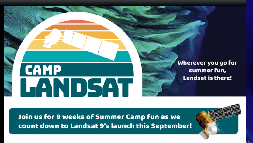
Camp Landsat Counts Down to the Landsat 9 Launch

Each week NASA’s Landsat Science team will explore a unique aspect of Landsat earth science (see themes below). Weekly features include Landsat related crafts and games, revisiting each sequential Landsat mission as well a weekly postcard from camp. Stop by each week of camp to explore a new theme.

#ConnectedByEarth – Earth Day 2021!

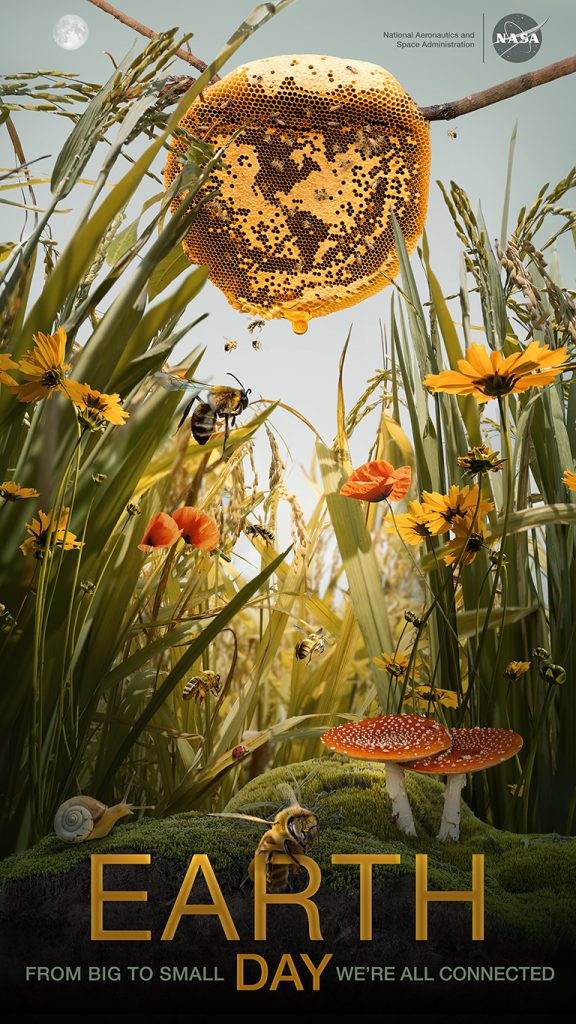
This year NASA’s Earth Day theme is #ConnectedByEarth. Visit the NASA Earth Day Poster website to watch a short video about the inspiration for the poster and discover the gems hidden within the poster. Download your copy of the poster to learn more about bees and our natural world.

Happy Earth Week 2021!

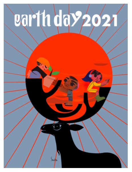
Earth Day Poster by Brazilian artist – Septo

Here are some ways to celebrate:

A. Get outside – enjoy the beauty of the earth and mark your observations.
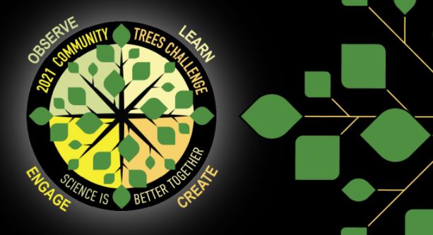
Consider joining a citizen science project such as Nature’s Notebook or GLOBE observer Tree Challenge.


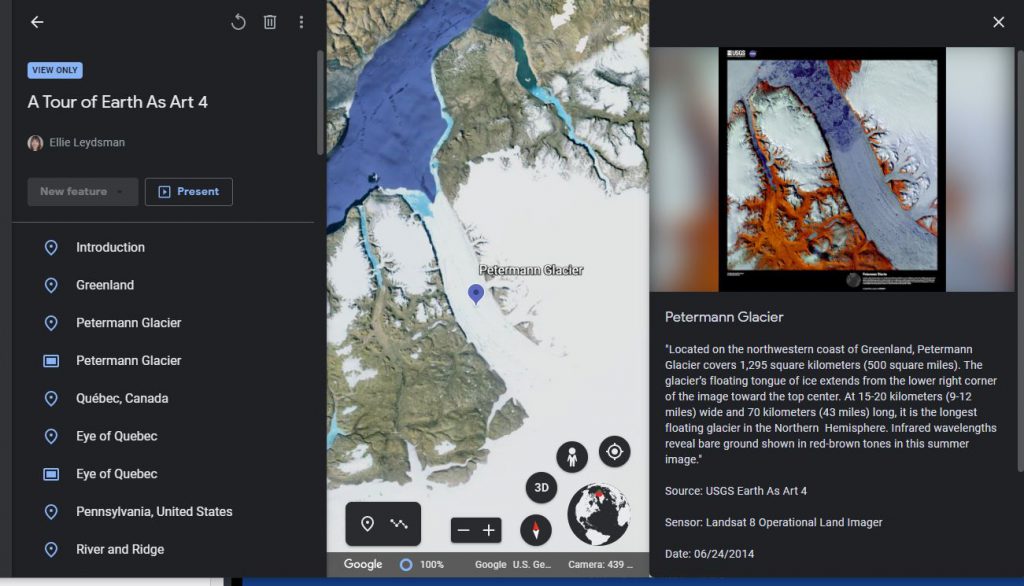
B. Explore our beautiful Earth with Ellie Leydsman McGinty’s (UtahView) Earth as Art 4 tour.

C. Learn some new GIS skills with resources from AmericaView members: Google Earth Engine (GeorgiaView), QGIS (WestVirginiaView), or ArcGIS Pro (VirginiaView).

D. Put together an Earth image Puzzle.

IowaView Staff Present at ISU Research Days

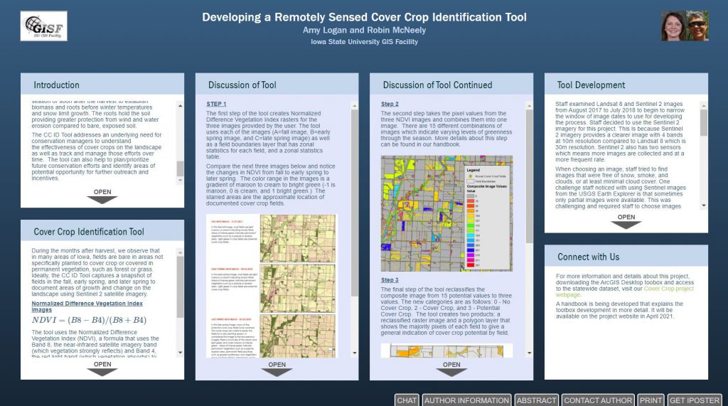
This year IowaView Staff are presenting their research at a virtual university research conference. Staff built a poster using a tool called iPoster. Click on the poster below to interact with the virtual poster (available for a limited time, through March 2021).

Iowa Student Map Contest 2021: Mapping Unique Iowa Features

The 2021 Map Competition for Iowa students is now underway.

Students in grades 4-12 are invited, with their teachers, to participate in this year’s mapping contest sponsored by Esri, the Iowa Geographic Information Council (IGIC), and William Penn University. This year’s theme is Mapping Unique Iowa Features.

Contest Website: https://sites.google.com/site/iowamapcontest/home

Story Maps Website: https://www.esri.com/en-us/arcgis/products/arcgis-storymaps/overview

How to participate: Use the Story Map application to tell a story about a unique feature site using a map and pictures.

There will be $100 cash prize and a certificate for the top five middle school (grades 4-8) and top high school (grades 9-12) map entries. The top entry from each state will be submitted to the national competition hosted by Esri.

Schools must submit their winners to the state for judging by 5 p.m. on Wednesday, May 12, 2021. Iowa GIS professionals will judge the entries so Iowa awards may be announced, and send winning entries on to Esri for the national competition.

OhioView presents Remote Sensing on a Shoestring

Are you interested in learning more about remote sensing but have a limited budget? This February, OhioView will be presenting , “Remote sensing on a shoestring,” and will guide you through how to begin using freely available software and data to perform remote sensing analysis.

Topics for each of the workshops (and their skill level) are as follows:

February 5, 2021, 9am – 1pm (EST):

  • Earth Science Missions Imagery using Google Earth Pro (beginner level)
  • Normalized Difference Calculations with Sentinel-2 using Multispec (intermediate level)
  • Land cover classification of Sentinel-2 images using QGIS (beginner level)

Use this link to register for the February 5 workshop: https://forms.gle/Z269biTar4vU23DU7  The last day for registration for the February 5 workshop will be January 28, 2021.

February 26, 2021, 9am – 1pm (EST):

  • Classification Using Google Earth Engine (intermediate level)
  • Ground validation using the GLOBE Observer app (beginner level)
  • Estimating Evapotranspiration with Landsat using QGIS (intermediate level).

Use this link to register for the February 26 workshop: https://forms.gle/HkRGQ3fn8S81443U6 . The last day for registration for the February 26 workshop will be February 18, 2021.