Category Archives: Announcement

Celebrating the “Mother of Landsat” – Virginia T. Norwood

“I have seen further by standing on the shoulders of giants.” ~ Sir Isaac Newton

This week is the virtual American Society for Photogrammetry and Remote Sensing (ASPRS) conference. At today’s conference, the ASPRS Lifetime Achievement Award was presented to Virginia T. Norwood.

Virginia Norwood is known as the “Mother of Landsat.” When interviewed by Laura Rocchio for a NASA Landsat Science article, Ms. Norwood was asked if she is comfortable with this title and she replied, “Yes. I like it, and it’s apt. I created it. I birthed it; and I fought for it.” In recognition of her contributions to satellite communications and optics for over 40 years, including the design, building, promotion and operation of the first multspectral scanner (MSS) on-board Landsat-1, Ms. Norwood was awarded the 2021 ASPRS Lifetime Achievement Award.

To learn more about Virginia’s story: https://landsat.gsfc.nasa.gov/article/virginia-t-norwood-mother-landsat

Congratulations, Virginia! Thank you for all your contribution to Landsat and Science!

Exploring the Landscape of K-12 GIS and Remote Sensing Education in Iowa

IowaView staff have launched a study to understand the current use of GIS (Geographic Information Systems) software and technology in K-12 public school classrooms across the state as well as to gauge interest among non-users.  The study has two surveys: one for superintendents and one for K-12 teachers.  These surveys will provide a snapshot of GIS in K-12 education as well as identify barriers and opportunities for the use of GIS technology among non-users.

Here is the link to the teacher survey: tinyurl.com/IAK12GIS.

Please contact Amy Logan for any questions regarding the survey.

Iowa Student Map Contest 2021: Mapping Unique Iowa Features

The 2021 Map Competition for Iowa students is now underway.

Students in grades 4-12 are invited, with their teachers, to participate in this year’s mapping contest sponsored by Esri, the Iowa Geographic Information Council (IGIC), and William Penn University. This year’s theme is Mapping Unique Iowa Features.

Contest Website: https://sites.google.com/site/iowamapcontest/home

Story Maps Website: https://www.esri.com/en-us/arcgis/products/arcgis-storymaps/overview

How to participate: Use the Story Map application to tell a story about a unique feature site using a map and pictures.

There will be $100 cash prize and a certificate for the top five middle school (grades 4-8) and top high school (grades 9-12) map entries. The top entry from each state will be submitted to the national competition hosted by Esri.

Schools must submit their winners to the state for judging by 5 p.m. on Wednesday, May 12, 2021. Iowa GIS professionals will judge the entries so Iowa awards may be announced, and send winning entries on to Esri for the national competition.

OhioView presents Remote Sensing on a Shoestring

Are you interested in learning more about remote sensing but have a limited budget? This February, OhioView will be presenting , “Remote sensing on a shoestring,” and will guide you through how to begin using freely available software and data to perform remote sensing analysis.

Topics for each of the workshops (and their skill level) are as follows:

February 5, 2021, 9am – 1pm (EST):

  • Earth Science Missions Imagery using Google Earth Pro (beginner level)
  • Normalized Difference Calculations with Sentinel-2 using Multispec (intermediate level)
  • Land cover classification of Sentinel-2 images using QGIS (beginner level)

Use this link to register for the February 5 workshop: https://forms.gle/Z269biTar4vU23DU7  The last day for registration for the February 5 workshop will be January 28, 2021.

February 26, 2021, 9am – 1pm (EST):

  • Classification Using Google Earth Engine (intermediate level)
  • Ground validation using the GLOBE Observer app (beginner level)
  • Estimating Evapotranspiration with Landsat using QGIS (intermediate level).

Use this link to register for the February 26 workshop: https://forms.gle/HkRGQ3fn8S81443U6 . The last day for registration for the February 26 workshop will be February 18, 2021.

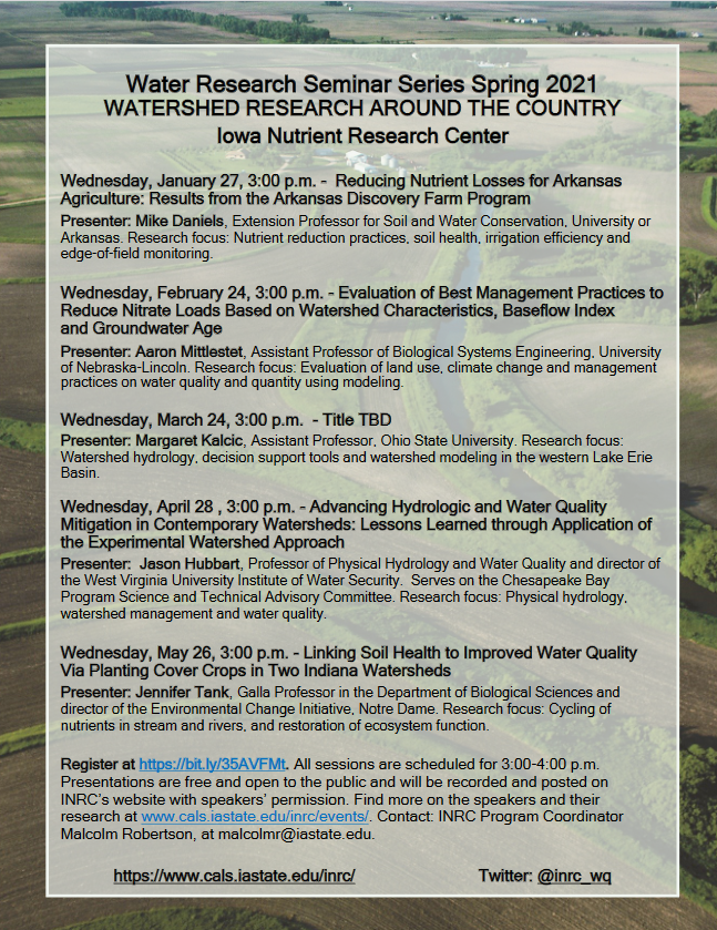
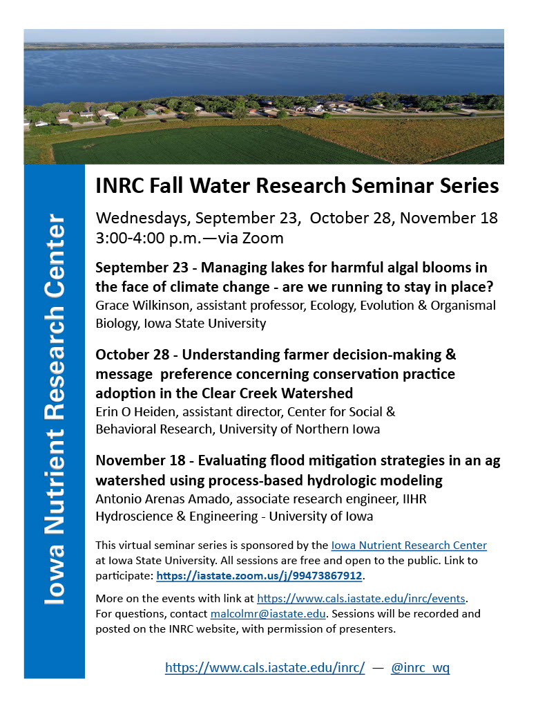
Seminar Alert: Reducing Nutrient Loss At Arkansas Discovery Farm

Today, Mike Daniels from the University of Arkansas will be presenting about how the Arkansas Discovery Farm is reducing nutrient loss, defining and building soil health, improving irrigation efficiency and edge-of-field monitoring of runoff. His statewide Extension efforts encourage agricultural producers to adopt conservation practices to protect natural resources and improve agricultural sustainability.

Here is the registration link: https://bit.ly/35AVFMt. The session will be recorded and are available on the Iowa Nutrient Research Center (INRC) website. For more information about the upcoming INRC seminar events: https://www.cals.iastate.edu/inrc/events/list?tid=304.

Be part of the Global Celebration: Geography Awareness Week 2020!

Join us this week, November 15-21, 2020, as we celebrate Geography Awareness Week. Throughout we will be posting various activities and videos from our friends at OpenStreetMap, National Geographic, and Esri to help you get engage and get informed.

As a way to celebrate GIS Day and OpenStreetMap, we are encouraging everyone to go online either during this week or on GIS Day and contribute to the OpenStreetMap basemap. If you are interested and would like more information about how to get started, please email, Amy Logan.

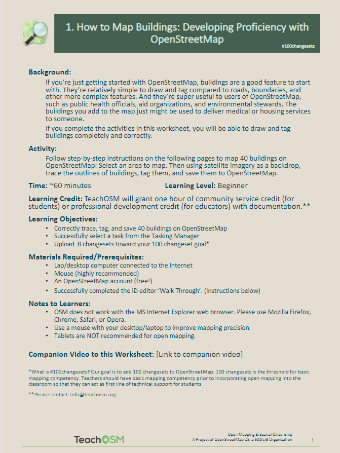
If this is your first time using OpenStreetMap, sign up for an OpenStreetMap account: https://www.openstreetmap.org/user/new. Then look over this helpful resource from TeachOSM about how to get started and build proficiency with OpenStreetMap: (https://ubique.americangeo.org/wp-content/uploads/2019/09/2_buildings_worksheet_1-2.pdf)

New Video Tutorials Available from VirginiaView

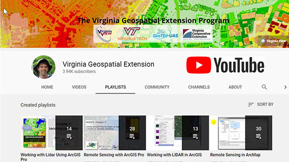
VirginiaView, in partnership with Virginia Tech and other partners, recently published a new video tutorial series called “Working with Lidar Using ArcGIS Pro”.   This resource is appropriate for 2-year and 4-year college faculty who would like to integrate additional online (and self-paced) educational resources with their courses.

Previous tutorial topics have also been popular with geospatial professionals who are seeking a cost effective and self-paced opportunity to sharpen their geospatial skills.  The new tutorial series (and other topics listed below) might be appropriate for professionals working with local/regional/state/federal governments, as well as in the private sector.

The following geospatial video tutorials are available at no cost, and can be accessed via http://www.virginiaview.net/videos

New!  Working with Lidar Using ArcGIS Pro (14 videos)

Remote Sensing with ArcGIS Pro (28 videos)

Remote Sensing with ArcMap (30 videos)

Using Lidar in ArcGIS Desktop (13 videos)

Drones: Mastering the Aeronautical Charts (6 videos)

Coming Soon – EARTH SCIENCE WEEK – Oct 11-17, 2020

Next week is Earth Science Week. This year the theme is Earth Materials in Our Lives. Throughout the week we will be exploring different aspects of earth sciences, finding ways to connect to the earth, and looking at careers and organizations that are devoted to the study of our earth.

Check back all week for daily updates and ways to celebrate!