A Guide To Putting Your Research On the Map
Are you interested in learning more about ArcGIS Story Maps? Iowa State University’s Parks Library has a great introductory library guide to get you started.
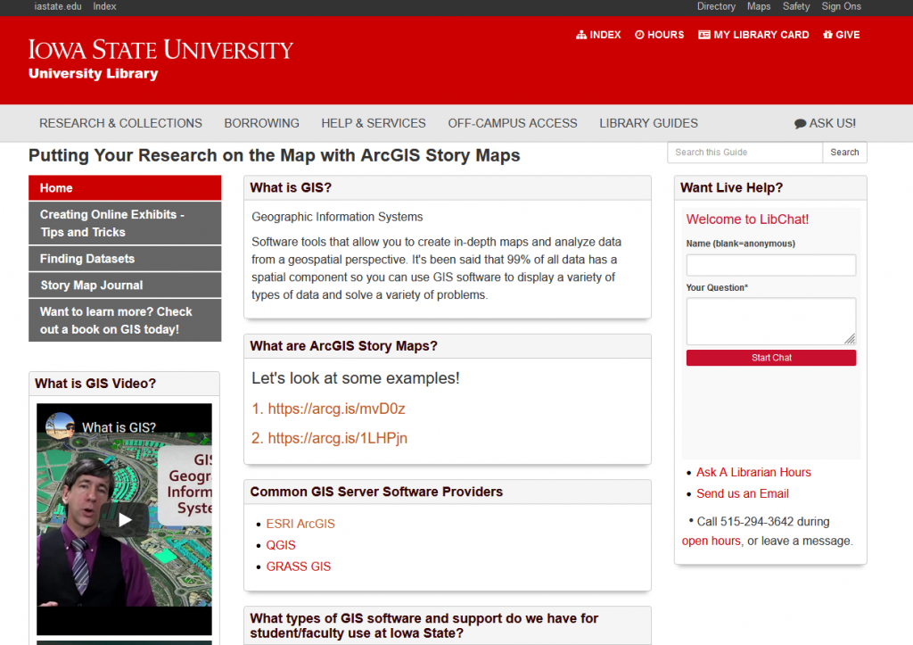
Are you interested in learning more about ArcGIS Story Maps? Iowa State University’s Parks Library has a great introductory library guide to get you started.

February is Black History month, and as part of that celebration IowaView would like to highlight a new story map that was recently released by the Tracing Race at Iowa State University. The Tracing Race project funds digital projects that reveal the under-documented history of accomplishment and experience of people of color, and engage with the history of race, inequality, racism, and student, faculty and staff activism at Iowa State University.
The Tracing Race project recently released a Story Map by Gloria Betcher, Ph.D.; Ted Grevstad-Nordbrock, Ph.D. & Jeanne Beck, Ed.S. called Mapping the Black ISC (Iowa State College) Student Housing Experience. It shares the stories of black students as they overcame challenges to find housing in Ames in order to pursue their education at Iowa State College.
“Since its founding in 1858 as Iowa Agricultural College & Model Farm, Iowa State University has allowed Black, Indigenous, and People of Color (BIPOC) to enroll as students. Iowa State’s first Black student, George Washington Carver, enrolled in classes in 1891. At that time, the question of where Black students could live while enrolled at the college became a concern, but it was left largely unaddressed by the institution until after World War II. Prior to that time, BIPOC students at Iowa State College (ISC) were kept from rooming on campus by an unwritten policy that required Black students to room together. This requirement was difficult to meet when so few Black students attended the college at any given time. As late as 1926, ISC had only 13 Black students and had just graduated its first Black woman, Willa Juanita Ewing, according to The Crisis: A Record of the Darker Races (“A Record,” 1926).
The housing situation of most BIPOC students at Iowa State in the years before it became a university remains unstudied in any systematic way. This ESRI Story Map project is an initial step toward addressing that research gap. It is also intended as a means of illuminating just who the Black students at ISC were and what contributions they made after leaving Iowa State.”
– From the Project Introduction: Mapping the Black ISC Student Housing Experience
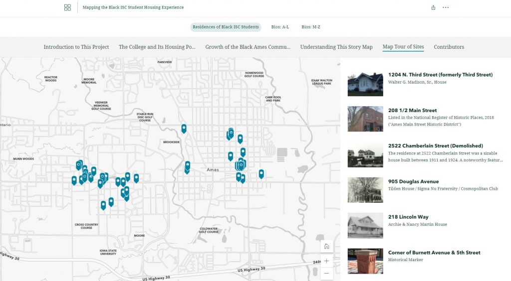
This story map is a treasure. It explains the challenges of Black students in the early days of Iowa State College in finding housing and how they overcame those challenges. It provides a map showing many of the early residences of the students around Ames, many of the homes are still there today.
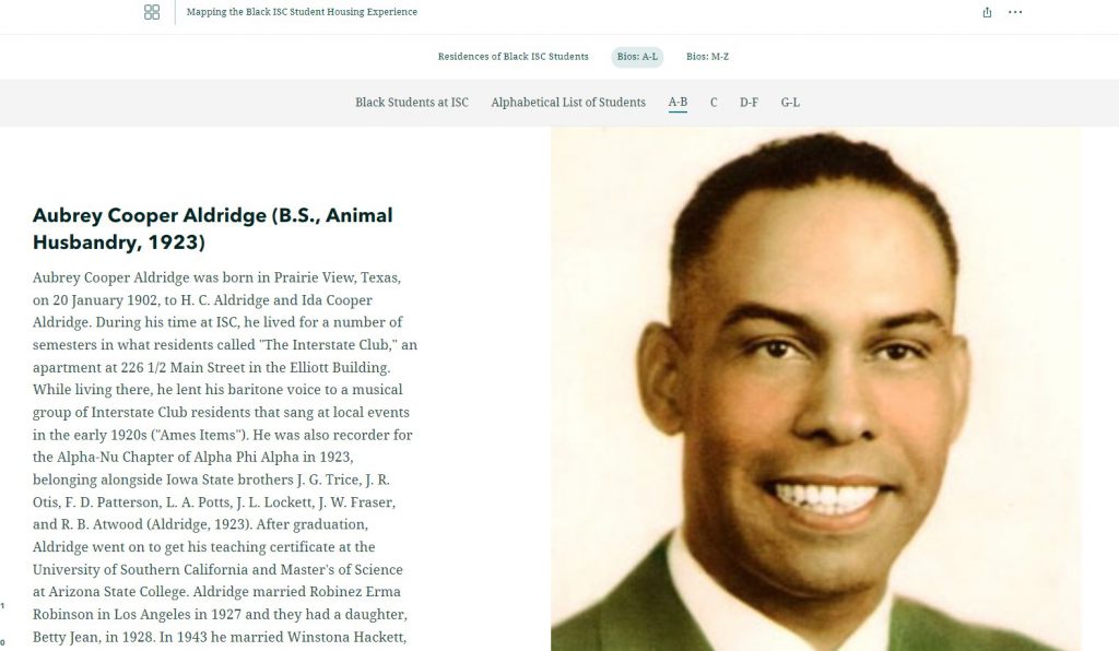
Another exciting feature of this story map is how the authors pay tribute to each of the Black students enrolled in at Iowa State College during this period of history. The authors provide a biography of each of the students and information about their time at the college and life after school as well as picture of the students. This is a great way to remember these students.
Take time to explore this wonderful Story Map: https://storymaps.arcgis.com/collections/8c704f644e3f46a3b6b7442f702aa586?item=1
A few years back, Tyler Danielson, a GIS professional at Bolton and Menk, Inc. wrote a book called Lindsey the GIS Professional to help describe working with a geographic information system (GIS). In the book, Lindsey explains the information needed to create a map and how to collect it. Then she shows how to take that information to make a map of her favorite park. It gives readers a good introduction to the basics of GIS. Click here to read the book online: https://www.bolton-menk.com/books/lindsey/Lindsey.html.
Since the publication of the book, there have been several other companion resources produced. They can be found at www.LindseyLovesMaps.com:
The coolest thing is that this story is based off of a real LINDSEY!

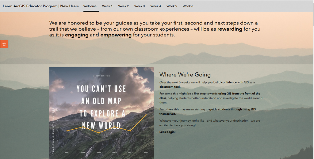
As we begin this new year you may want to challenge yourself with a new skill. Esri has a 6-week program, Learn ArcGIS Educator Program for New Users, available to give you an introduction to many of the core applications available for the classroom. Each week you will spend time watching videos related to the topic, take notes, share you thoughts using Flipgrid and discussion boards. For more information and resources visit the Learn ArcGIS Educator Program Hub: https://learn-arcgis-educator-program-new-user-learngis.hub.arcgis.com/pages/welcome.
The 2022 Map Competition for Iowa students is now underway.
December 2021 IGIC Lunch & Learn: Iowa/Utah Geospatial Exchange

This presentation will provide an introduction to the Iowa Geospatial Conference Exchange, a program to encourage sharing of GIS programs, data, and knowledge between state organizations. Amy Logan and Penny Vossler have returned from geospatial exchange in Utah with examples of Utah’s geographic resources and strengths, some great ideas from their conference, new friends, and great photos to share.
For more information: https://www.iowagic.org/event/december-2021-igic-lunch-learn-iowa-utah-geospatial-exchange/
Here is a link to the recording (12/15/2021): https://iastate.webex.com/iastate/ldr.php?RCID=3c87c93211016276d525d62cadc6e4dd
The Iowa Orthoserver (also known as the Iowa Geographic Map Server) has a variety of resources available to enhance and serve users. Today we are highlighting the Aerial Photo Dates layer. This layer allows users to determine the date of a particular image.
Here are the basic steps to using the Aerial Photo Dates layer in the Iowa Geographic Map Server ArcGIS Web App:
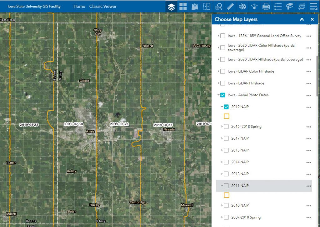
The statewide 2021 NAIP flight date layer is not yet available. This will be released when the layer is available. If you would like information regarding specific areas for the 2021 flight, please contact Amy Logan.
Here are photos from yesterday’s GIS Day event. We had over 50 visitors stop by our table in the ISU College of Design lobby for information about undergraduate minor in GIS and graduate GIS certificate, cupcakes, posters, trading cards and to help put our map puzzles together.
Test and Improve Your Geographic Knowledge with Geography Games:
Quizzity – https://david-peter.de/quizzity/ – This quiz challenges you to locate six world cities with greater points for accuracy and speed.

Seterra Geography Games – https://www.seterra.com/#quizzes – Learn the location of countries worldwide by locating counties regionally and globally.

Join the ISU Geographic Information Systems Support and Research Facility to celebrate GIS Day! Enjoy themed cupcakes and poster and trading card giveaways, and learn more about the Geographic Information Science minor and GIS graduate certificate program.
The event will be from 2–4 p.m. Wednesday, Nov. 17, in the foyer inside the main entrance to the College of Design.
https://www.design.iastate.edu/event-listings/2021/11/gis-day-celebration/