Tag Archives: Earthshots

Oh how the years go by: 40 years – Mount St. Helens

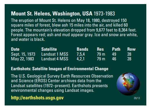
This week marks 40 years since the Mount St. Helens eruption. The image above is from the USGS Earthshots trading card series. The images are displayed in color infrared which is useful for showing living vegetation in red. The mountains surrounding Mount St. Helens are primarily forest. Notice the extreme change in the landscape from the 1973 image to the post eruption image in 1983. The damage was extensive and ash covered much of the surrounding forest land.

Additional Resource

Earthshots: Satellite Images of Environmental Change – Mount St. Helens: https://earthshots.usgs.gov/earthshots/Mount-St-Helens#ad-image-0-0
Scroll through the images to watch the forest begin to return as the years go by!

USGS Earthshots: Satellite Images of Environmental Change

The USGS has produced an amazing collection of images (also available as trading cards!) that show Earth’s change over time. The Earthshot collection has a wide variety of examples of change over time including:
– natural phenomena changes (glaciers, deserts,)
– social change (city growth,)
– human interaction with the natural world (mining, deforestation, agriculture,)
– natural disasters (hurricanes, tornado damage, flooding.)

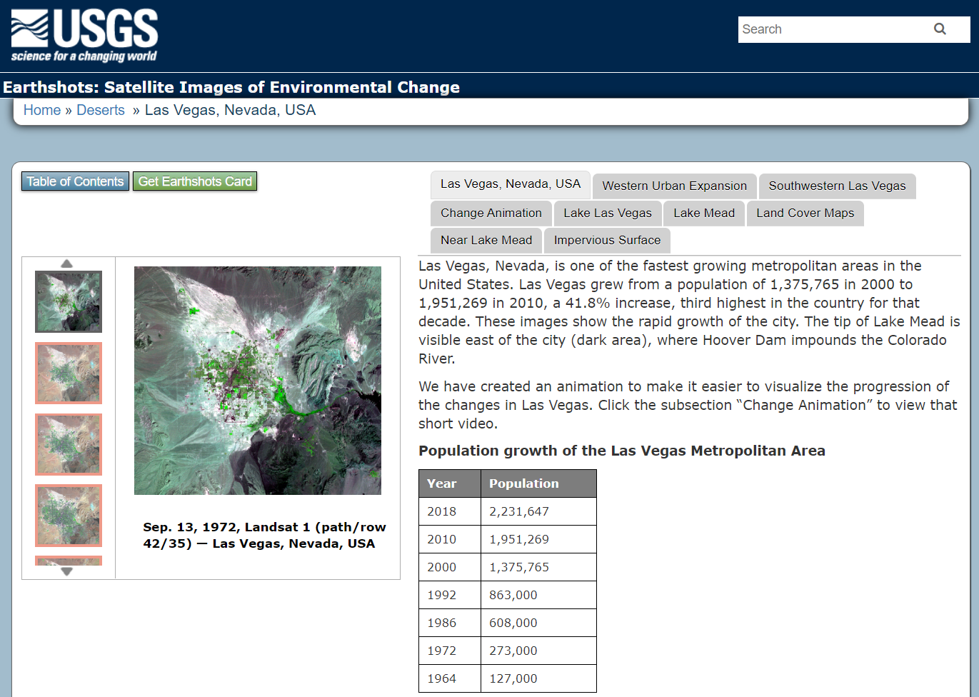
Below are two examples of the trading cards, Mount St. Helens pre/post volcanic explosion and Las Vegas, Nevada population growth over time.

If you view a location on through the browser you will get about 5 images you can review as well as context about the images.

Other Resources: Tracking Change Over Time (teacher guide): https://pubs.usgs.gov/gip/133/pdf/tracking-packet_web.pdf
Lesson Plan – Investigating Deforestation Throught An Earth Systems View Using Landsat: https://mynasadata.larc.nasa.gov/lesson-plans/investigating-deforestation-through-earth-systems-view-using-landsat

IowaView has trading cards available. Please contact Amy Logan for more information.