Well, it’s Water Wednesday. Today’s Landsat highlight is a time lapse video (2007-2017) showing the effect of a 2010 dam breach on the water level of Lake Delhi located in Delaware County in eastern Iowa. Notice the dramatic decrease in water and the exposure of large sandbars and the refilling of the lake as the dam is restored.
This year we are celebrating 50 years of the Landsat earth observing satellite mission. Landsat data helps us observe changes in our communities and environment over time.
Postcards From Camp: Cities & Suburbs Are you exploring any cities this summer? Rain or shine, urban planners use Landsat to take stock of city growth and its environmental impact. The front of this postcard features a natural-color Landsat 8 image of Ocean Flower Island in Hainan, China acquired May 6, 2020.
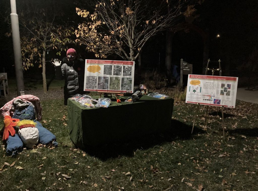
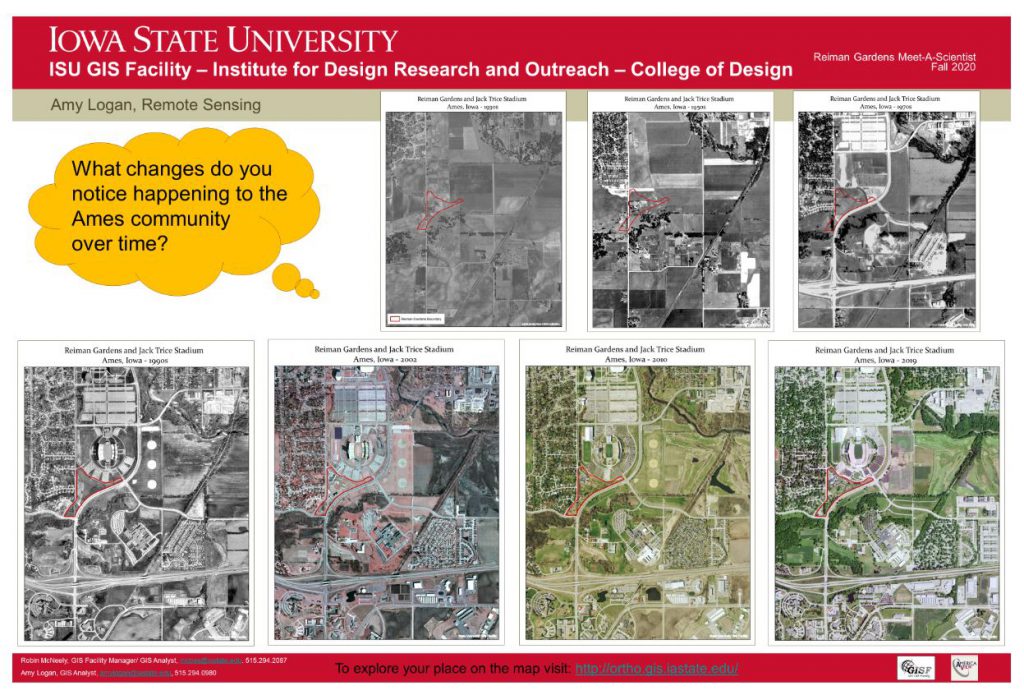
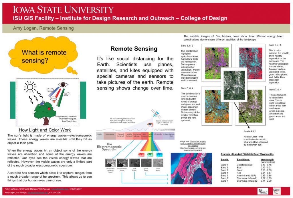
On November 1st, IowaView staff participated the “meet-a-scientist” at the annual Reiman GardensSpirits in the Gardens event featuring a self guided pathway with hundreds of carved pumpkins as well as scientists to meet along the way. During our shift, there were over 250 visitors of all ages. We were able to share posters featuring remote sensing and GIS, which included aerial imagery of Ames and Reiman Gardens dating from the 1930s to 2019. Participants enjoyed seeing change over time as Ames has urbanize over the last ninety years. Staff gave out goodie bags with AmericaView poster, USGS trading cards, and Earth as Art bookmarks and booklets.
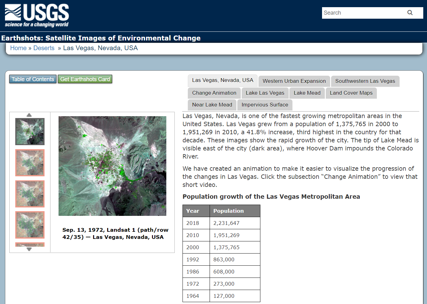
The USGS has produced an amazing collection of images (also available as trading cards!) that show Earth’s change over time. The Earthshot collection has a wide variety of examples of change over time including: – natural phenomena changes (glaciers, deserts,) – social change (city growth,) – human interaction with the natural world (mining, deforestation, agriculture,) – natural disasters (hurricanes, tornado damage, flooding.)
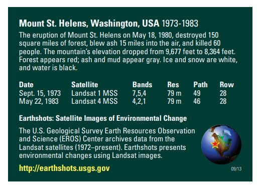
Below are two examples of the trading cards, Mount St. Helens pre/post volcanic explosion and Las Vegas, Nevada population growth over time.
The cards provide side by side comparison images and also context about the images on the opposite side including information about the date of the images, satellites, bands used to create the images and location data.
If you view a location on through the browser you will get about 5 images you can review as well as context about the images.