Author Archives: iowaview

Don’t forget to visit Camp Landsat this summer!

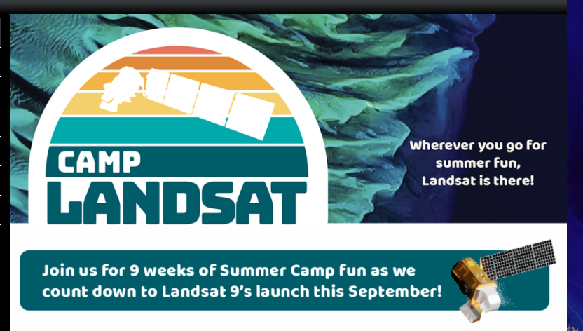
Camp Landsat provides many activities for kids and adults to enjoy and understand Landsat satellite data at home and on the go this summer. Landsat data have allowed scientists to study and monitor the U.S. since 1972, supporting biodiversity, recreation, and human health and wellness. Explore curated content and learn how Landsat data are used to monitor, manage, and protect landscapes and people.

Have you been listening to the Spatial Signals Podcast?

Spatial Signals is a podcast about remote sensing, GIS, and geospatial technologies – but more importantly it’s a podcast about the people who use and apply them. This podcast is sponsored by AmericaView, the national remote sensing network dedicated to empowering Earth Observation. Your hosts are Dr. Bradley Shellito from Youngstown State University and Mr. Chris McGinty, the Executive Director of AmericaView. New episodes every Monday morning.

Get Excited for some IowaView Midsummer Announcements!

Announcements and calls for action for Iowa teachers interested in GIS and professional development opportunities.

Interested in Learning More about the Cryosphere?

After that last post, you might be interested in finding more resources about the cryosphere, here are several helpful resources: My NASA data has a series specifically focused on the cryosphere:https://mynasadata.larc.nasa.gov/basic-page/about-cryosphereMini-Lessons: https://mynasadata.larc.nasa.gov/all-cryosphere-maps-and-dataLesson Plans: https://mynasadata.larc.nasa.gov/all-cryosphere-lesson-plans NASA Earth Observatory for Kids Lessons (very fun, hands-on, and engaging for the younger crowd): Glaciers: Ice on the Move: http://earthobservatory.nasa.gov/blogs/eokids/glaciers-ice-on-the-move/Water,

Read More

World Water Day (March 22): Remembering the importance of water

Annually, the United Nations celebrates March 22nd as World Water Day. World Water Day celebrates water and raises awareness of the 2.2 billion people living without access to safe water. The day is about taking action to tackle the global water crisis, and remembering what a vital role water plays for all of humanity. This

Read More

Dear Teachers: Part 5 – Exploring Water Use and Quality

In today’s lesson, we are examining water use and water quality. Satellite imagery helps scientists to better understand the changes in the environment. Examine the images below of the Aral Sea; the left image is from April 10, 1986, and the right image is from June 5, 2024. The water loss between the two images

Read More

Dear Teachers: Part 4 – Identify Local Natural Hazards to Prevent Powerful Disasters

As we continue moving through the series of lessons of the 2024 Earth Observation Day poster, “Earth Science Everywhere.” Today we will examine the disaster management lesson, “Exploring Disaster Management: Learning about natural hazards to prepare and prevent natural disasters”. This lesson seeks to engage students in learning about natural hazards in the environment. To

Read More

Dear Teachers: Part 3 – A Lesson about Forestry

Today we are going to explore the forestry lesson, “Exploring Amazonian Deforestation,” which seeks to engage students in an examination of how human activities modify the natural environment.