Category Archives: Education

Earth Observation Day is here!

Happy Earth Observation Day!

earth-ob-day-logo

We will be celebrating the day by having a mini-mapathon followed by pizza and an earth observation research talk by Dr. Brian Hornbuckle.  Dr. Hornbuckle will be discussing his work with the satellites SMAP (Soil Moisture Active Passive-US) and SMOS (Soil Moisture and Ocean Salinity- European) and ground sensors to determine soil moisture across Iowa.

If you have time for some fun today consider playing the AmericaView Remote Sensing Imagery Game!


Dive into the OSM World of Mapping – 4-H youth mapping event

On June 30, 2016, IowaView staff hosted a mapping workshop as part of the annual Iowa 4-H State Conference. There were 7 students in attendance. The workshop included an introduction to GIS/remote sensing, a summary of a current GIS Facility project, and two hands-on mapping projects in George, Iowa and Mount Singabung, Indonesia.

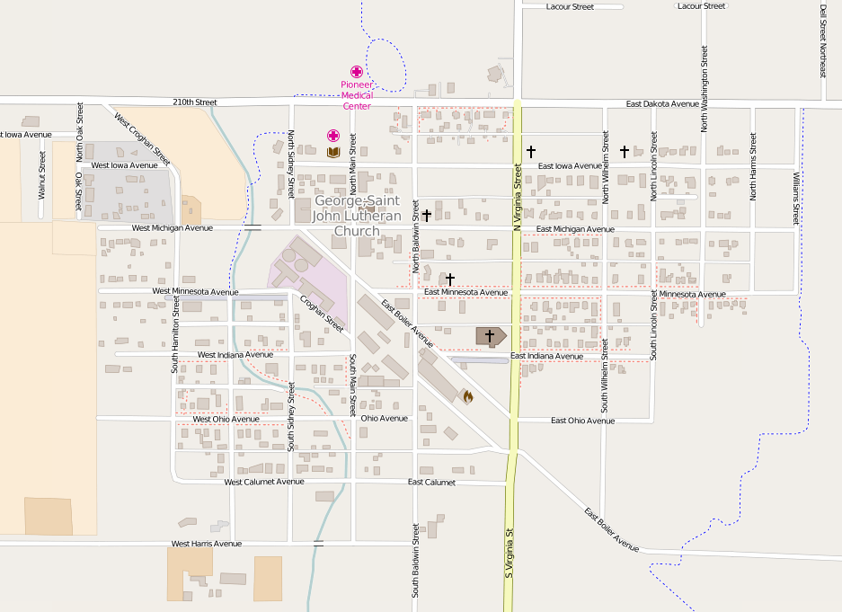
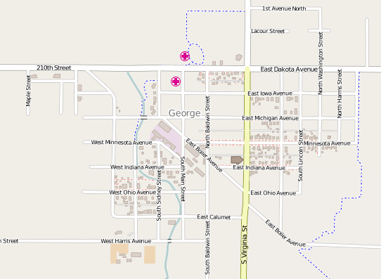
For various mapping workshops, IowaView has been adopting small towns (Leon, Ogden) across Iowa to continue adding to and filling in the Open Street Map basemap for Iowa. George, Iowa is a small town with a population of 1,055 located in Lyon County in northwest Iowa.

IowaView choose to focus our second project on Mount Singabung, Indonesia which was identified as a top priority by the United States Geological Survey – Volcano Disaster Assistance Program. Sinabung is an active stratovolcano that has had consistent activity since 2010. The volcano poses a significant risk to those living in close proximity. Recent activity includes eruptions in 2010, 2013, 2014. The latest eruption occurred May 2016, killing 7 Indonesians.

The group made over 2,500 edits during the workshop.

Below are before and after screen shots of George, Iowa.
George4-H_ 6_30_2016_closeUp

George7_13_2016-Closeup

Results from MLK Jr. Day MapGive Event

On January 18, 2016, IowaView hosted our second annual mapping party to celebrate the Martin Luther King Jr. Day of Service. Over the course of the party we mapped over 1,500 ways (linear features and boundaries) and over 10,000 nodes (points). Our efforts were primarily focused on the town of Ogden, Iowa and Raung, East Java, Indonesia, an area identified as high priority by the Volcano Disaster Assistance Program.

Below is a link to a story map showing the progress we have made mapping Ogden, Iowa over the last two mapping events we have hosted.  http://arcg.is/1VNfIJH

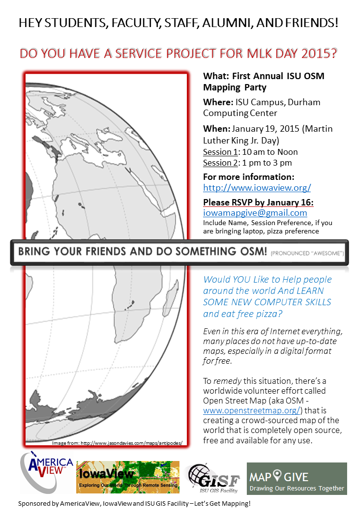
2nd Annual MLK Jr. Day Mapping Party!!!

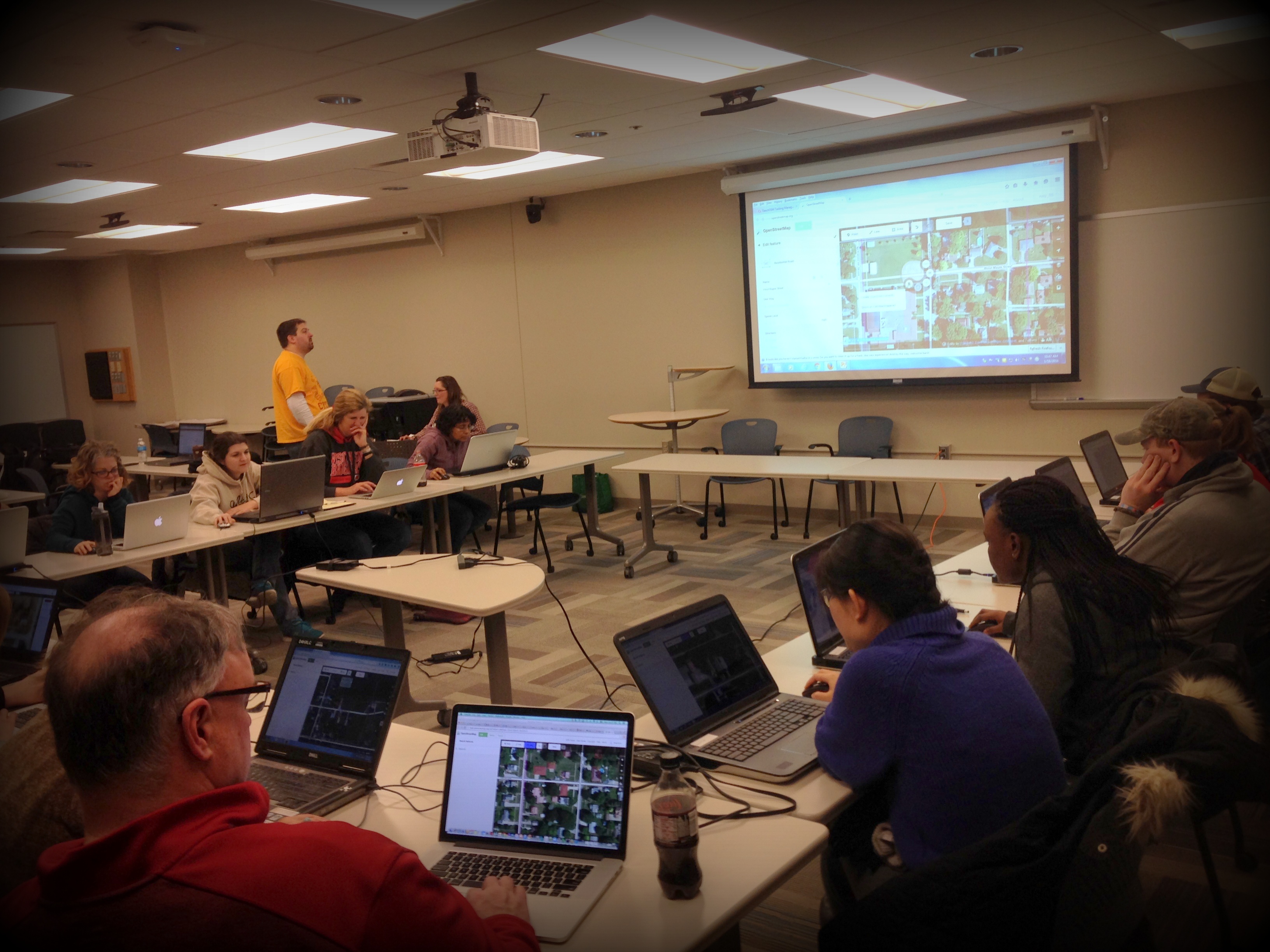
On January 18, 2016, the IowaView staff hosted the 2nd Annual OSM/MapGive Mapping Party at ISU’s Durham Center on Martin Luther King Jr. Day. There were 20 mappers that were able to join in the day of service on site and several that participated remotely. For the first part of the session participants mapped a small Iowa town and then for the second part of the session participants spent time mapping areas around Raung Volcano, in East Java, Indonesia as part of a collaboration with Volcano Disaster Assistance Program.

IMG_6013_edit

Back to School Teaching Tools: Using Phenocam Images in the Classroom

The new school year has begun. As we trade in our flip flops and towels for shoes, socks, and shirts, the world around us is also signalling the change of seasons. The grass and trees will soon be getting their autumn colors as they fade from their vigorous summer greens and yellows to reds, oranges, and browns. This is a great time to introduce and discuss concepts of seasonal change, phenology,

The Harvard Forest website has over two dozen great resources to get students (5th grade – high school) thinking about seasonal change. Below are several exercises that especially stood out:

  1. Comparing historical writing to current phenocam data for observe changes in species leaf off timing
  2. Comparing the percentage of color change of individual trees in a phenocam image to the percentage of change in a canopy-wide image
  3. Generating a temperature vs. percent leafs fallen graph

IowaView Phenocams are online!

phenocam_picture

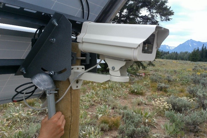
IowaView Phenocam – Grand Tetons, WY

A phenocam is a digital camera that takes pictures at set intervals as a way to track the change in vegetation and climatic conditions throughout the year at a given location. The phenocam provides fixed scene, time-lapse images over the course of a year, which can then be analyzed for a variety of scientific uses, including seasonal changes such as spring “green-up” or fall “leaf-off.”

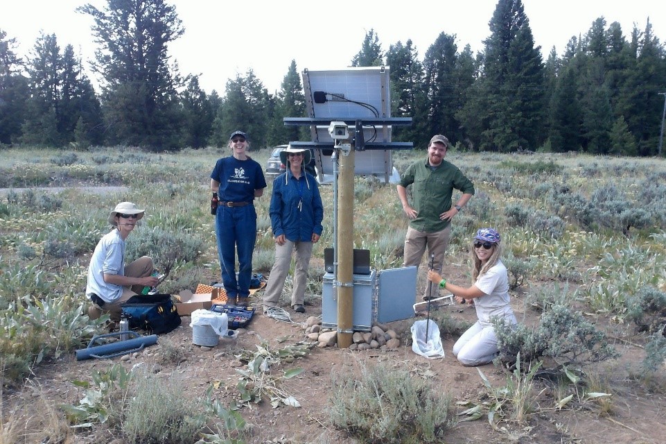
WYphenocam Crew

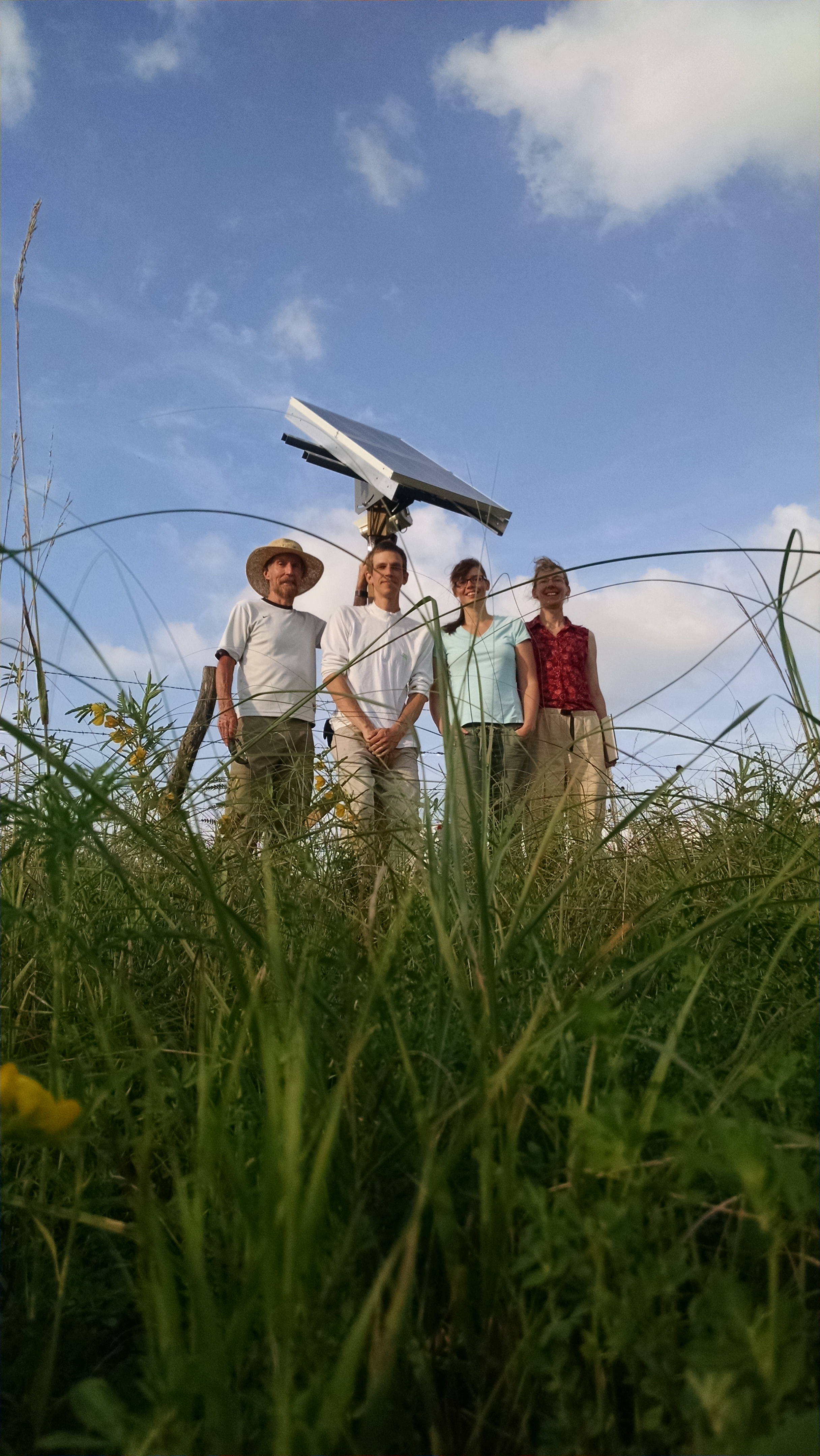
Team members installing the IowaView Phenocam in Wyoming

IowaView has partnered with Dr. Diane Debinski and the Debinski Lab (Iowa State University – Ecology, Evolution, and Organismal Biology) to install two phenocams at their research areas in Iowa – Grand River Grassland and Wyoming – Grand Teton. The IowaView phenocams are part of a larger phenocam network across the USA and world.

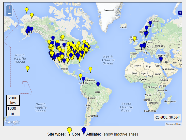
Phenocam_Sites

Locations of Phenocams Sites

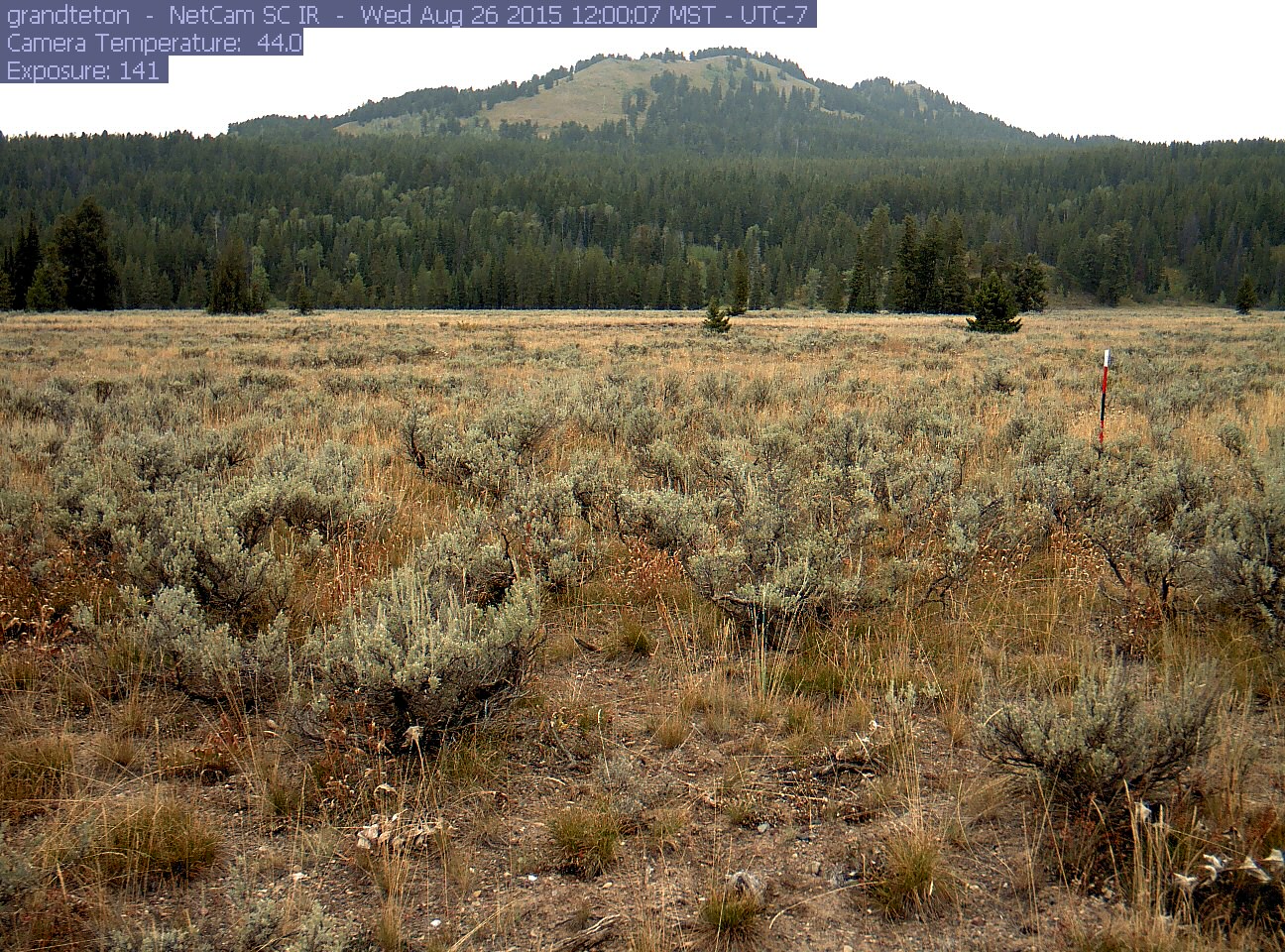
grandteton

Picture taken by IowaView Phenocam – Grand Tetons in Wyoming

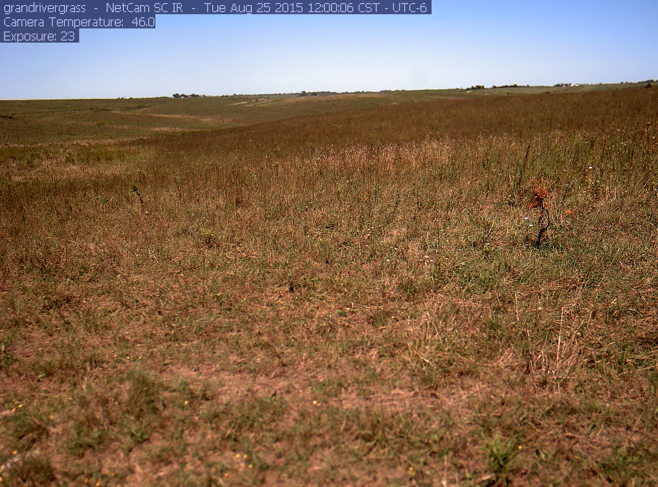
grandrivergrass_2015_08_25_120006

Picture taken by IowaView Phenocam – Grand River Grasslands in Iowa

In the coming weeks, we will provides links for educational opportunities that provide instructions on using the phenocam data in the classroom.

Thanks to the Debinski Lab for their work getting our phenocams running!  Great work!

GRG Phenocam Team

Phenocam Installation Crew in Iowa

Teachers, start your mapping! Free online GIS in the classroom from Esri and ConnectEd

Title: Teachers, start your mapping! Free online GIS in the classroom from Esri and ConnectEd
Date: August 19th, 2014
Time: 10am to 11am
Description: Online GIS is a powerful, relatively easy way to get kids thinking spatially and involved in applied, inquiry-based projects.  Come to learn more about this wonderful opportunity and bring your ideas and questions about how the use of online GIS can be used to help engage you kids.

For more information and to pre-register: https://learn.extension.org/events/1678

Educational Opportunity for 6-12 grade teachers

The UNI Geography program has a teacher training workshop in Oskaloosa July 21-22, 2014. The training uses ArcGIS Online and is aimed at social studies and STEM teachers teaching grades 6-12. The 2-day workshop is free, sponsored by National Geographic, and the graduate credit hour cost is greatly reduced. They have three excellent teachers lined up to give the workshop.

Below is a link with more information:

https://www.uni.edu/continuinged/distance/courses/summer-2014/1160611607-geog-41335133-69