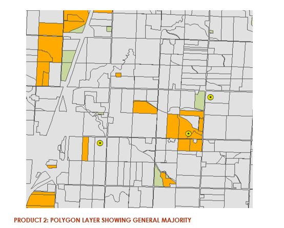
More progress made on the 2020 LiDAR release (Western Iowa)
Six additional counties in western Iowa have been added to the 2020 LiDAR service: https://arcg.is/15eHuH0
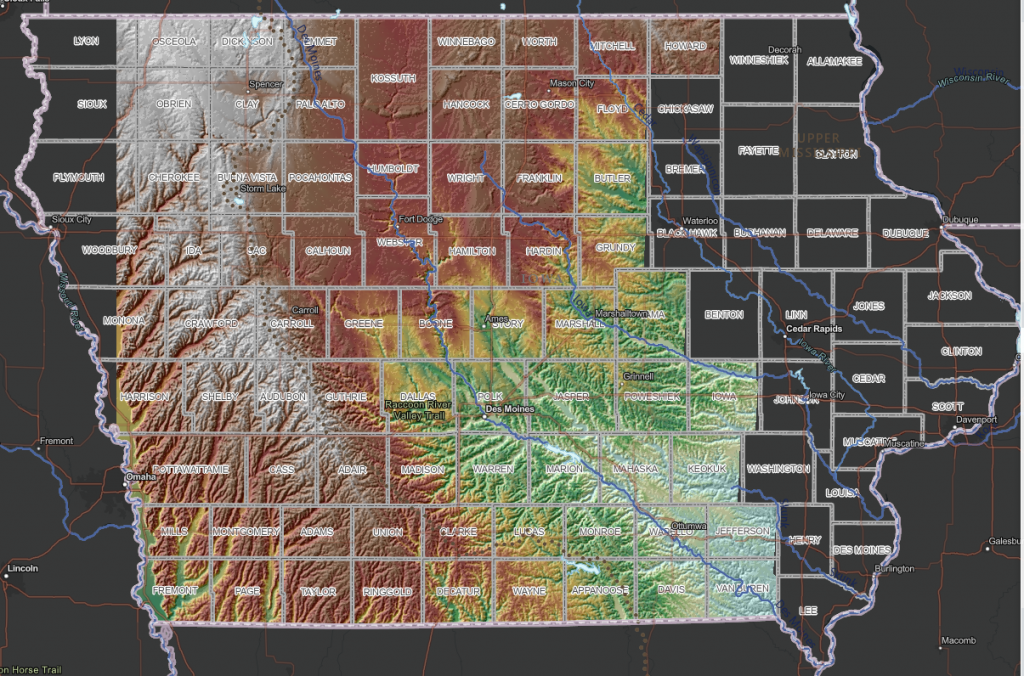
Six additional counties in western Iowa have been added to the 2020 LiDAR service: https://arcg.is/15eHuH0

Today’s time lapse video is highlighting the damming of Brushy Creek and the creation of 690-acre Brushy Creek Lake, Iowa’s deepest artificial lake.
Watch the dam development begin around 1994 and then the lake begin to fill around 1998. The Brushy Creek State Recreation Area is a 6500-acre park located in north central Iowa. To read more about the park at the Iowa Department of the Natural Resources Brushy Creek page: https://www.iowadnr.gov/portals/idnr/uploads/parks/parkmaps/brushycreekmap.pdf
This year we are celebrating 50 years of the Landsat earth observing satellite mission. Landsat data helps us observe changes in our communities and environment over time.
1) The areas of purple and white in the image are urban areas. Throughout the video they fill in the area from the bottom to the center. The pink areas are farm land.
2) Did you notice the increase in the number of retention ponds (dark blue specks in the urban areas) over time? Retention ponds are used to prevent flooding and provide for water storage in urban areas. As areas become urbanized there is often more surface covered in concrete, parking lots and buildings. There are fewer places for the water to flow directly into the ground.
3) Did you spot the golf course on the northern edge of the city?
This year we are celebrating 50 years of the Landsat earth observing satellite mission. Landsat data helps us observe changes in our communities and environment over time.
This video was created using Google Earth Engine. You can create your own time lapse videos by visiting: https://emaprlab.users.earthengine.app/view/lt-gee-time-series-animator.
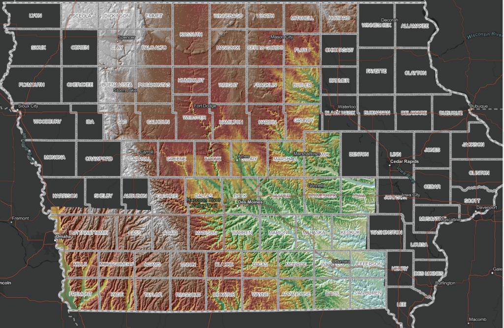
Eight more counties in southwest Iowa have been added to the 2020 LiDAR services: https://arcg.is/1PfriS
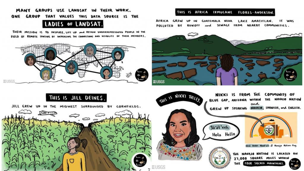
The Ladies of Landsat have shared some great USGS case study videos showcasing the paths women and girls can take to become remote sensing scientists. Three scientists stories are highlighted: Jill Deines, Africa Ixmucane Flores-Anderson, and Nikki Tulley. Read more and enjoy their stories below:
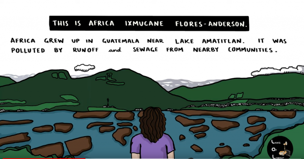
Africa Ixmucane Flores-Anderson: Using Landsat to Connect Pace to Village – Africa was inspired to help her local community in Guatemala by mapping water quality with Landsat and is now at monitoring deforestation.
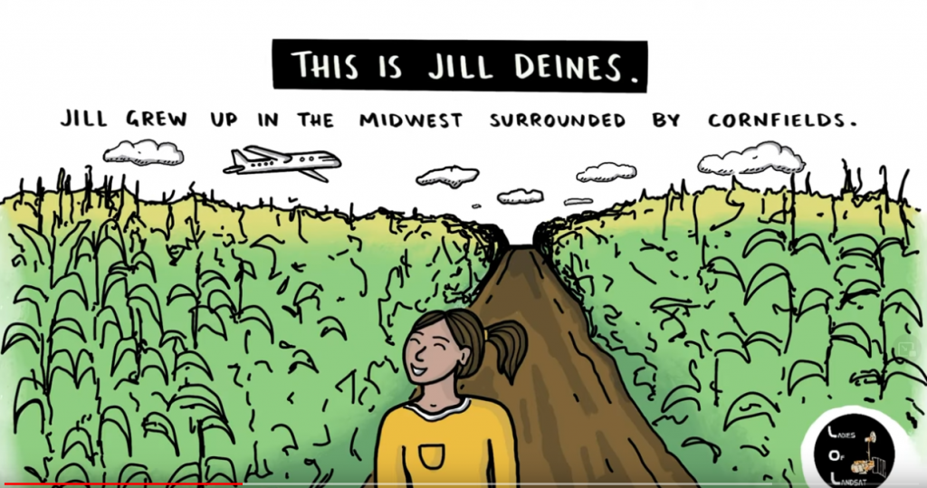
Jill Deines: Using Landsat to Map Agriculture Yields and Irrigation Use – Dr. Jill Deines was was drawn to the bird’s eye view of agriculture plots growing up in the Midwest. Now she uses Landsat to monitor water resources and crop yield.
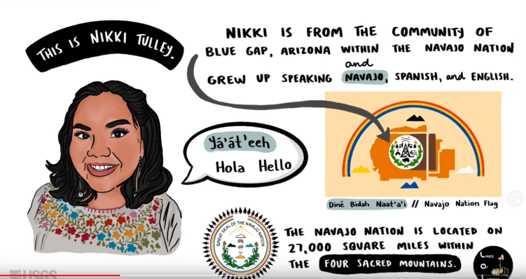
Nikki Tulley: Speaking a New Language of Landsat – Nikki grew up in the Navajo Nation without running water in her household. As PhD student at University of Arizona and Indigenous scientist, she uses Landsat to track drought conditions in her home community.
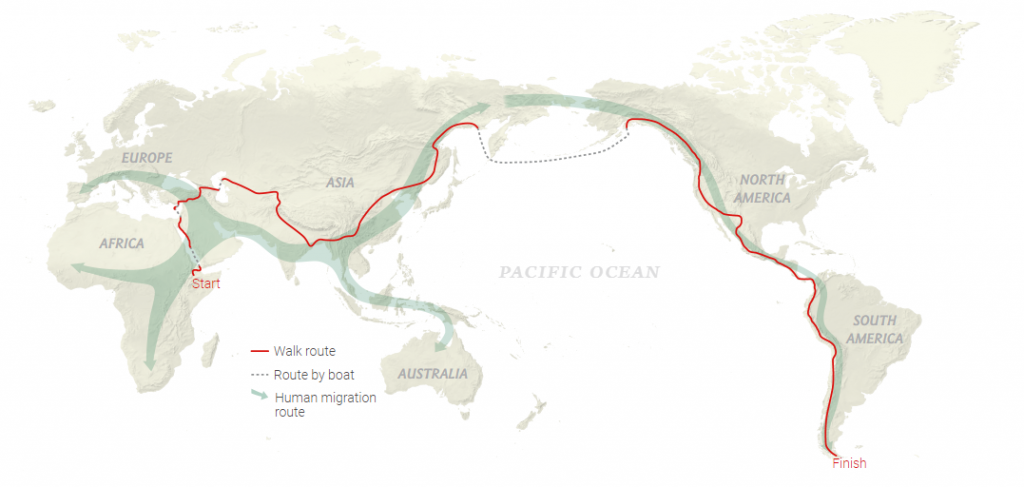
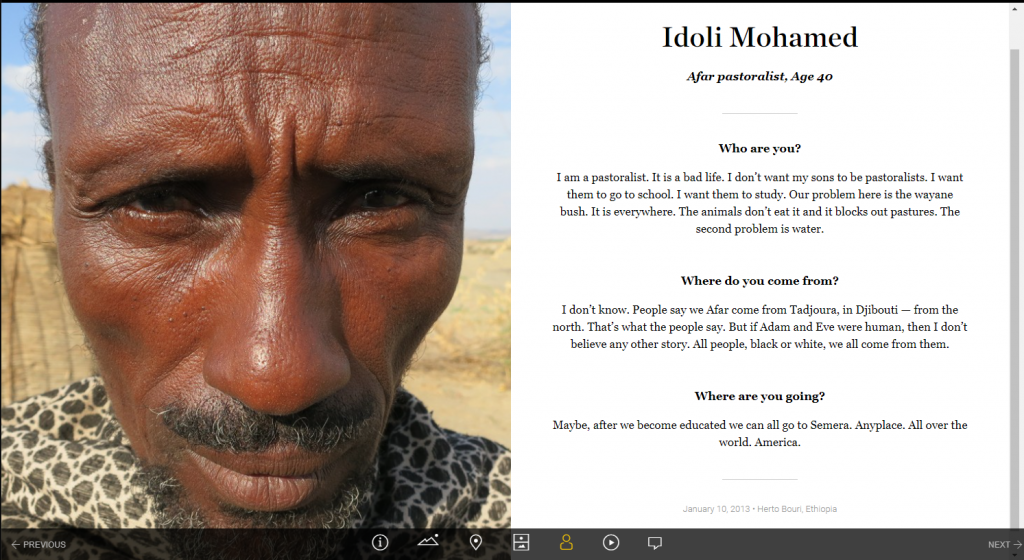
To kick off Geography Awareness week, explore the amazing journey of geographer, Paul Salopek’s 24,000 mile journey across the globe. During his 10-year journey he documented the places and people he encounter every 100 miles. At each of these milestones, he documents the date, location, elevation, shows a picture of his feet and the sky at that location, and interviews the first person he meets asking them 3 questions: who are you, where do you come from, and where are you going?
Follow his journey through an amazing story map: https://www.nationalgeographic.org/projects/out-of-eden-walk/#section-0.



This week’s camp theme is Cities and Suburbs and focuses on the growth of cities and urban areas as seen over time through Landsat images. Urban growth has impacts on the surrounding environment. Visit Camp Landsat to learn more and experience a time-laspse video of urban growth in Qatar, a storymap about urbanization of vacation towns, and learn about urban heat islands in Minnesota. This week’s camp crafts include Color by Number Image Classification and creating a bird house with a “green roof.” Thank you to our friends at NASA for making this fun summer camp possible!
Landsat 9 is scheduled to be launched on September 16, 2021. This will mark almost 50 years of earth observation by US satellites. In preparation for this historic launch, we will be sharing several interactive documents about the history of the Landsat mission as well as the information about the Landsat 9 mission.

Today we would like to share with you, A History of the Landsat Program, developed by Ellie McGinty at UtahView. It’s an interactive Google Earth Tour, which documents major moments in earth observation history through a combination of maps, text, and curated images starting with the founding of the United States Geological Survey in 1879 through the birth of NASA in 1958 to the conception of Landsat in 1970 and all the way to the present day launching of Landsat 9.
A year ago today a derecho, a series of thunderstorms with hurricane-like winds and heavy rains, struck Iowa with very little warning. The National Oceanic and Atmospheric Administration (NOAA) put together a multi-media story map to tell the tale of this eventful day. Hundreds of thousands of trees were lost or damaged. Homes and buildings were destroyed. Many people lost power for days or even weeks.
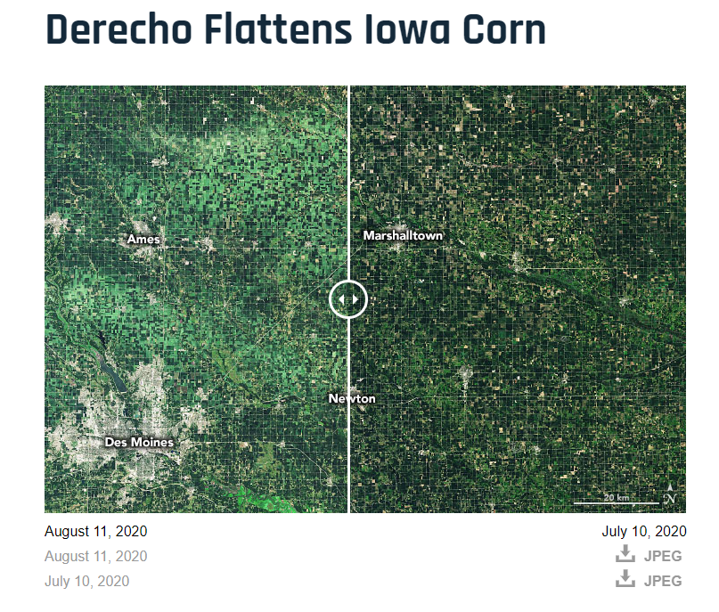
Have you visited the NASA’s Earth Observatory? It is a NASA website that helps make satellite imagery relevant to the general public and it is a great place to find images for presentations or use in the classroom. In August 2020, the Earth Observatory featured a comparison of satellite images from July 2020 and August 2020 to show the extent of the derecho damage on Iowa cropland.
IowaView staff have released the Cover Crop ID Toolbox and Handbook. This toolbox allows users to quickly identify possible cover crop fields using three Sentinel-2 images from the fall, early spring, and late spring downloaded from the Earth Explorer website based on field boundaries supplied by the user. On the project webpage you can download the toolbox which works with both ArcMap or ArcGIS Pro as well as the Cover Crop ID Toolbox Handbook that provides additional details about each step of the tool.

