Tag Archives: Outreach

Don’t forget to visit Camp Landsat this summer!

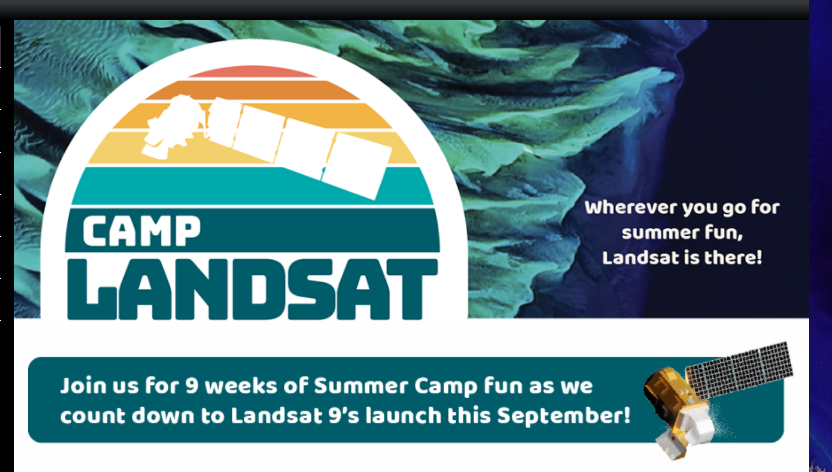
Camp Landsat provides many activities for kids and adults to enjoy and understand Landsat satellite data at home and on the go this summer. Landsat data have allowed scientists to study and monitor the U.S. since 1972, supporting biodiversity, recreation, and human health and wellness. Explore curated content and learn how Landsat data are used to monitor, manage, and protect landscapes and people.

Dear Teachers: Part 4 – Identify Local Natural Hazards to Prevent Powerful Disasters

As we continue moving through the series of lessons of the 2024 Earth Observation Day poster, “Earth Science Everywhere.” Today we will examine the disaster management lesson, “Exploring Disaster Management: Learning about natural hazards to prepare and prevent natural disasters”. This lesson seeks to engage students in learning about natural hazards in the environment. To

Read More

A New Iowa as Art Piece – Cautionary Waters

The piece asks viewers to reflect: when we are planning, do we consider only typical conditions, or does our planning account for extremes, flood or drought as well?  Are we willing to allow development in the floodplain and take the loss when the flood comes, or perhaps make a harder choice to not develop there and lose out in the short-term?  Also, in cases when we choose to develop in lower elevation areas, what kinds of zoning and development are we allowing in these areas?

Fun Suggestions to help keep this Season Mappy

Here are a few fun maps and StoryMaps that have some holiday themes or can help you plan for adventures in 2025.

Mapping Masterminds Competition Results are in!

Congratulations to the winners of our GIS Day Mapping Masterminds Competition – Atlas Chenxiao Guo and Trenton Major! Please check out the Mapping Masterminds Gallery and Competition Showcase website to view all the submissions from both the 2024 and 2023 mapping competitions. Thank you again to everyone who participated in this year’s competition!

Thanks for coming out to celebrate GIS Day with us!

On Wednesday, November 20, we had a great GIS Day celebration at The Catalyst in Parks Library. Thank you to library digital scholarship staff for hosting us and providing their expertise. We had five speakers sharing on different topics: Visit the ISU GIS Facility GIS Day website for more details about the speakers: https://www.gis.iastate.edu/gis-day-2024 The

Read More

Now is the time to register for a hands-on, engaging, geospatial workshop for K-12 Teachers

Register Now! The ISU GIS Facility will be hosting the 3rd annual geospatial summer workshop for K-12 teachers and pre-service teachers in Ames, Iowa on July 17 – 18, 2024. This workshop will show many geospatial tools and applications from the Esri ecosystem as well as Google Earth, OpenStreetMap, AmericaView, and others. Teachers will get

Read More

Disaster at Lake Delhi – #Landsat50

Well, it’s Water Wednesday. Today’s Landsat highlight is a time lapse video (2007-2017) showing the effect of a 2010 dam breach on the water level of Lake Delhi located in Delaware County in eastern Iowa. Notice the dramatic decrease in water and the exposure of large sandbars and the refilling of the lake as the

Read More