Category Archives: Geography Awareness Week

Geography Awareness Week: Review and Contribute to OpenStreetMap

OpenStreetMap (OSM) is a publicly created and maintained world map – the Wikipedia for maps. Anyone with access to an internet browser can view the map and anyone with a free OpenStreetMap account can update the map. If you are new to OpenStreetMap visit their welcome page to a short introduction: https://osmgeoweek.org/guides/intro .

Here are several ways to get engaged with OpenStreetMap:

~ Review your local OSM basemap for accuracy and consider adding community features that are missing or need updating.

~ Spend time working on a Humanitarian OpenStreetMap project. For a current list of priority project visit: https://tasks.hotosm.org/explore

~ Consider joining mappers around the globe in the November OSM US 30 Days of Mapping Challenge (each day has themed asset to map): https://wiki.openstreetmap.org/wiki/United_States/Projects#30_Days_of_Mapping_-_November_annually

GIS Day 2021 – Success!

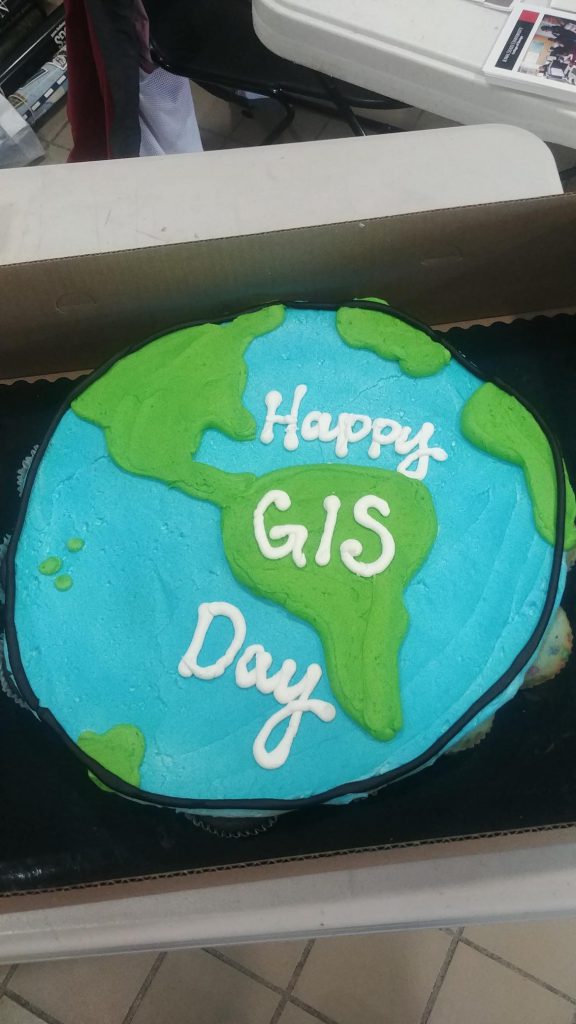
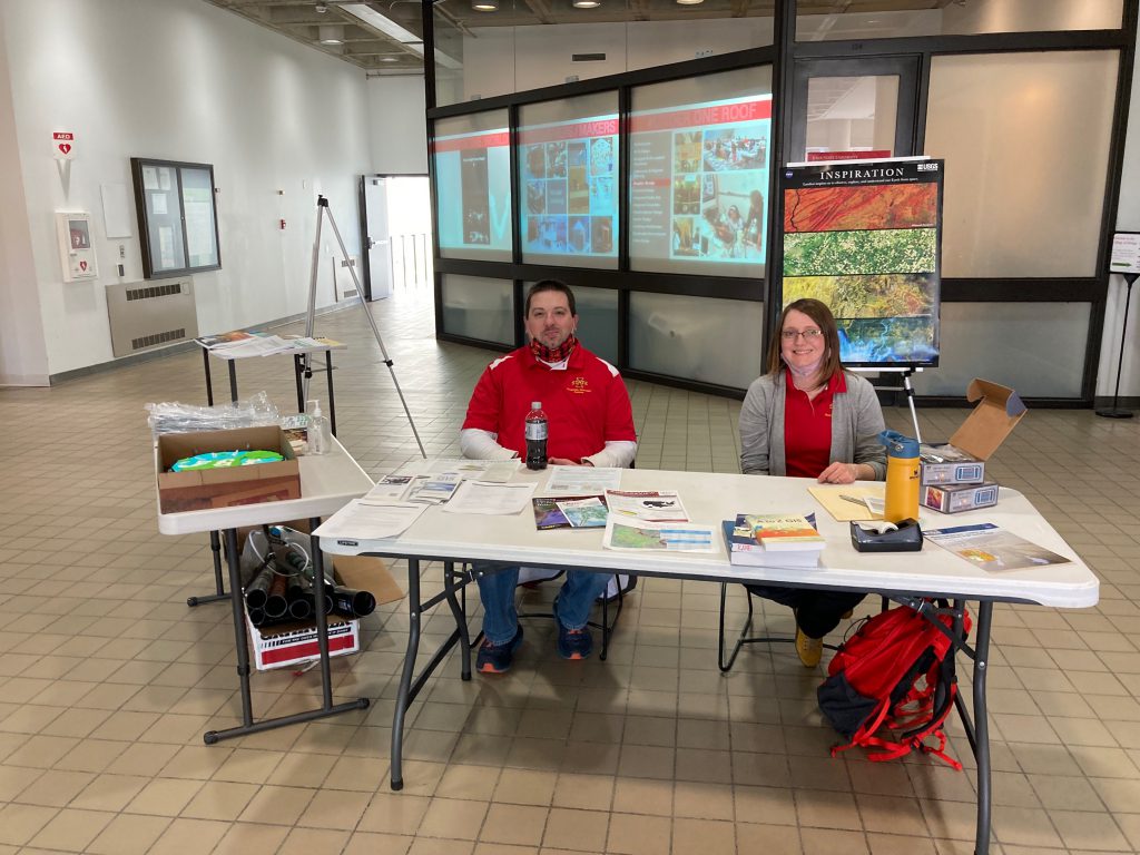
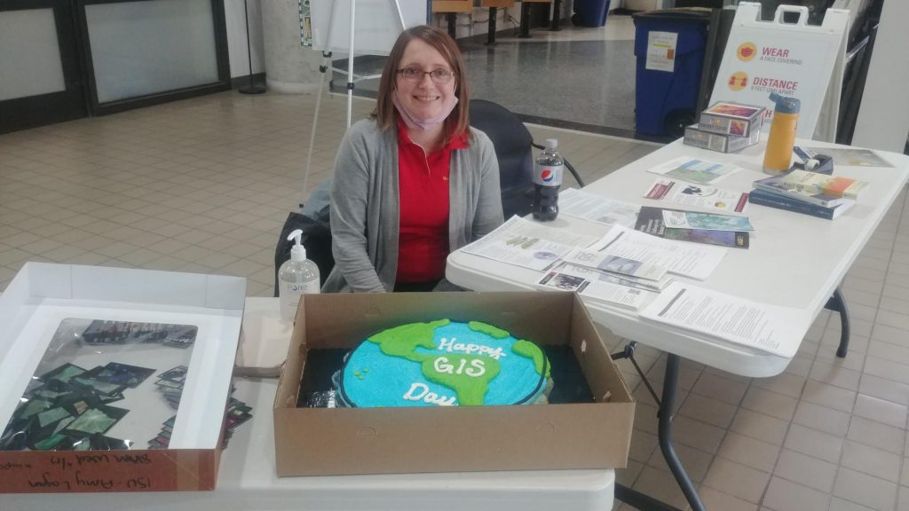
Here are photos from yesterday’s GIS Day event. We had over 50 visitors stop by our table in the ISU College of Design lobby for information about undergraduate minor in GIS and graduate GIS certificate, cupcakes, posters, trading cards and to help put our map puzzles together.

Celebrate GIS Day! Test and Improve your Geographic Knowledge

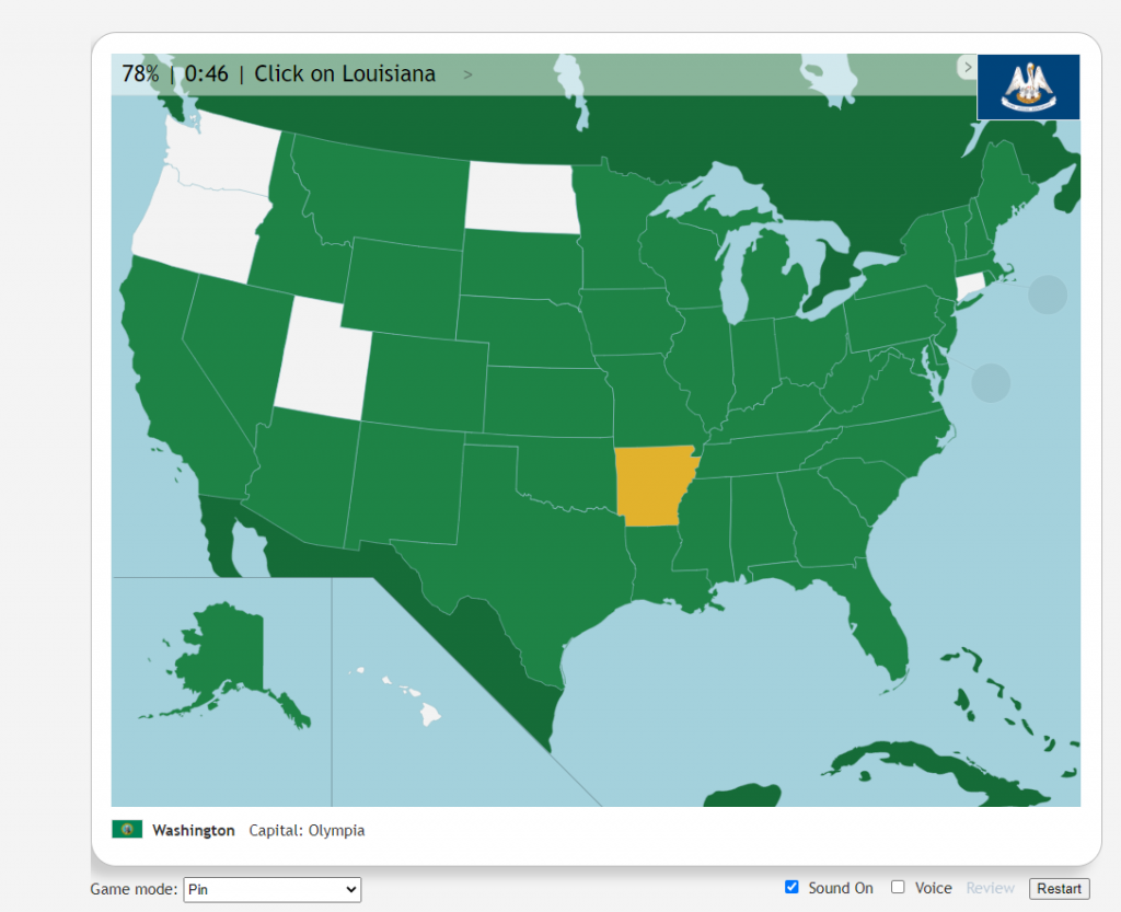
Test and Improve Your Geographic Knowledge with Geography Games:

Quizzityhttps://david-peter.de/quizzity/ – This quiz challenges you to locate six world cities with greater points for accuracy and speed.

Seterra Geography Gameshttps://www.seterra.com/#quizzes – Learn the location of countries worldwide by locating counties regionally and globally.

GIS Day @ ISU!!! Wednesday, November 17 2-4pm College of Design Main Lobby

Join the ISU Geographic Information Systems Support and Research Facility to celebrate GIS Day! Enjoy themed cupcakes and poster and trading card giveaways, and learn more about the Geographic Information Science minor and GIS graduate certificate program.

The event will be from 2–4 p.m. Wednesday, Nov. 17, in the foyer inside the main entrance to the College of Design.

https://www.design.iastate.edu/event-listings/2021/11/gis-day-celebration/

Discover your local geographic Information Council and other groups

The Iowa Geographic Information Council (IGIC) is an organization of geospatial professional across the of Iowa. It provides geospatial support allowing individuals to ask questions and provides opportunities to collaborate as well as network. IGIC is governed by a 25 member board which represent 9 different sectors. There are quarterly meetings as well as a yearly conference (Iowa Technology and Geospatial Conference) and other opportunities to connect with geospatially minded people.

IGIC hosts monthly virtual Lunch and Learn events. These have been very successful for IGIC especially as members are widely distributed across the state.  Each session is recorded and available on the IGIC website.

You are invited to join this month’s “GIS Day” Lunch and Learn: Mulitpurpose Use of Street Level Imagery with Bill Wetzel, Cyclomedia Technology @ 12pm – Wednesday November 17, 2021. He will discuss how local governments and utilities rely on technology initiatives that optimize management of properties, assets, and infrastructure. For more information: https://www.iowagic.org/igic-lunch-learn-street-level-imagery/ .

Trek with National Geographic Explorer across the world

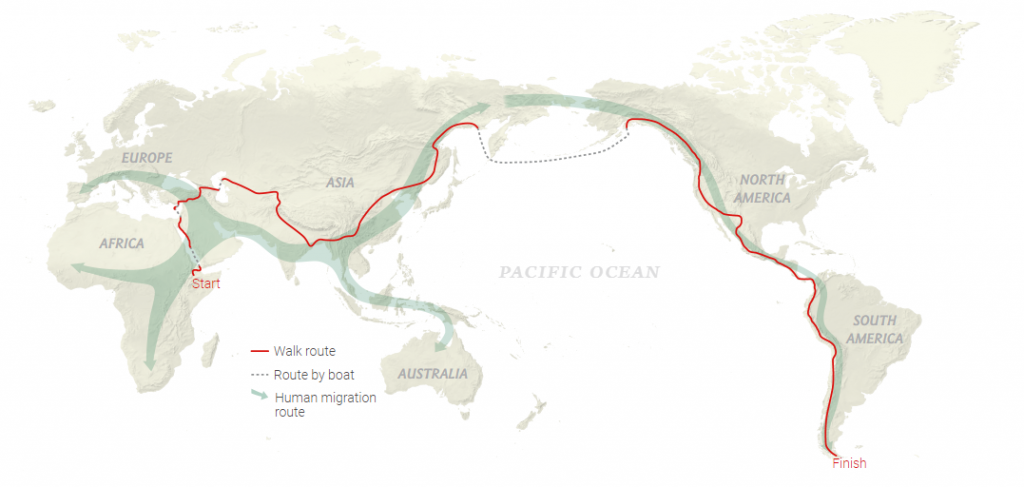
Paul Salopek’s 24,000 Mile Journey

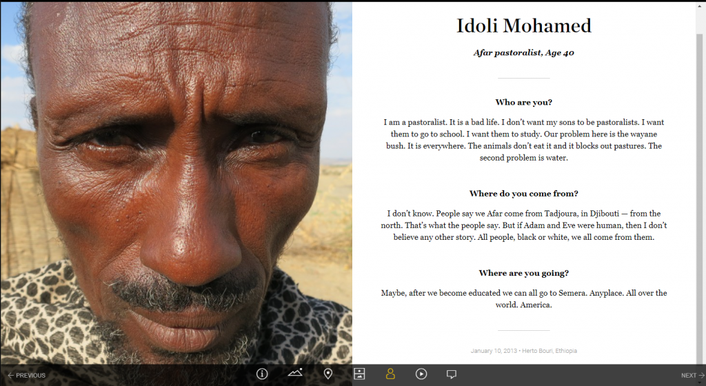
To kick off Geography Awareness week, explore the amazing journey of geographer, Paul Salopek’s 24,000 mile journey across the globe. During his 10-year journey he documented the places and people he encounter every 100 miles. At each of these milestones, he documents the date, location, elevation, shows a picture of his feet and the sky at that location, and interviews the first person he meets asking them 3 questions: who are you, where do you come from, and where are you going?

Follow his journey through an amazing story map: https://www.nationalgeographic.org/projects/out-of-eden-walk/#section-0.

Join in the celebration of Geography Awareness Week 2021!

November 14-20, 2021

Geography Awareness Week is coming soon. We will be sharing information about GIS and geography related careers as well as activities and games to help you sharpen your geography and geospatial skills throughout the week. Check IowaView daily for a new topic.

The History of Geography Awareness Week:

The National Geographic Society created Geography Awareness Week over 25 years ago as a way to celebrate and raise awareness of geography both as a discipline and as a part of daily life. The National Geographic Society felt there was a dangerous deficiency in American education with limited exposure to geography too many young Americans are unable to make effective decisions, understand geo-spatial issues, or even recognize their impacts as global citizens.
— see more at the National Geographic Website

ISU Mapathon Greatest hits…show the highlights reel!

Over the past few years the ISU GIS Facility has hosted a number of mapathons. Most of our mapathons have a time set aside for mapping in Iowa and then a time where we focus on international projects.

It is amazing what even a small group of mappers can do to add to the OpenStreetMap basemap in a small town in Iowa. Below are three examples of demonstrating how a mapathon event can add to the OpenStreetMap.

Read More

Happy GIS Day 2020! #GISDay

As a way to celebrate GIS Day and OpenStreetMap, we are encouraging everyone to go online either during this week or on GIS Day and contribute to the OpenStreetMap basemap. You may consider improving the basemap in your own community. Here are several projects to consider:

Public Lab Mongolia – https://tasks.hotosm.org/projects/9560/
Public Lab Mongolia (PLM), a local non-governmental organization in Mongolia, is leading the Mongolian chapter for volunteer mappers through the HOTmicrogrant COVID-19 project, as part of their mission to promote open data and disaster preparedness. This mapping will also help with COVID-19 response efforts. This project is to map Ulaanbaatar capital city of Mongolia, is organized by PLM in collaboration with the Mongolian Geo-spatial Association and local universities.

Hurricane Eta – Nicaragua – https://tasks.hotosm.org/projects/9765
Hurricane Eta brought wind, rain and storm surge to the coast of Nicaragua. This project is to finish the basemap of Bilwi (Puerto Cabezas) by digitizing buildings from MAXAR imagery. Available to beginners, there may be tricky tasks in this project as some areas have been partially mapped with older imagery and vegetation can often hide parts of structures. Make sure to review the instructions for tips on how to overcome these challenges and provide high quality data.

Explore your own project: https://tasks.hotosm.org/explore